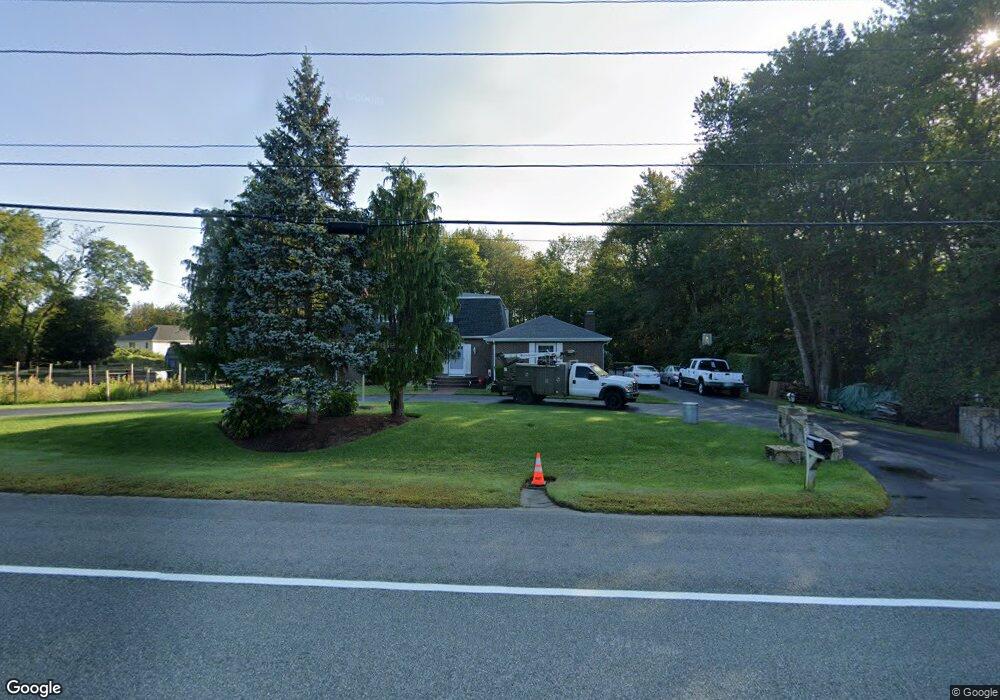
550 Pippin Orchard Rd Cranston, RI 02921
Comstock Gardens NeighborhoodEstimated Value: $813,247 - $1,201,000
3
Beds
3
Baths
2,540
Sq Ft
$368/Sq Ft
Est. Value
About This Home
This home is located at 550 Pippin Orchard Rd, Cranston, RI 02921 and is currently estimated at $934,812, approximately $368 per square foot. 550 Pippin Orchard Rd is a home located in Providence County with nearby schools including Orchard Farms El. School, Western Hills Middle School, and Cranston High School West.
Ownership History
Date
Name
Owned For
Owner Type
Purchase Details
Closed on
Dec 1, 2010
Sold by
Pullano Ernest G
Bought by
Melkoun Samir and Melkoun Patricia A
Current Estimated Value
Home Financials for this Owner
Home Financials are based on the most recent Mortgage that was taken out on this home.
Original Mortgage
$236,000
Outstanding Balance
$155,312
Interest Rate
4.22%
Mortgage Type
Purchase Money Mortgage
Estimated Equity
$779,500
Purchase Details
Closed on
May 16, 1994
Sold by
First B&T Co
Bought by
Pullano Ernest G
Home Financials for this Owner
Home Financials are based on the most recent Mortgage that was taken out on this home.
Original Mortgage
$170,000
Interest Rate
7.93%
Create a Home Valuation Report for This Property
The Home Valuation Report is an in-depth analysis detailing your home's value as well as a comparison with similar homes in the area
Home Values in the Area
Average Home Value in this Area
Purchase History
| Date | Buyer | Sale Price | Title Company |
|---|---|---|---|
| Melkoun Samir | $380,000 | -- | |
| Pullano Ernest G | $220,000 | -- |
Source: Public Records
Mortgage History
| Date | Status | Borrower | Loan Amount |
|---|---|---|---|
| Open | Pullano Ernest G | $88,000 | |
| Open | Pullano Ernest G | $236,000 | |
| Previous Owner | Pullano Ernest G | $170,000 |
Source: Public Records
Tax History Compared to Growth
Tax History
| Year | Tax Paid | Tax Assessment Tax Assessment Total Assessment is a certain percentage of the fair market value that is determined by local assessors to be the total taxable value of land and additions on the property. | Land | Improvement |
|---|---|---|---|---|
| 2025 | $9,519 | $685,800 | $163,100 | $522,700 |
| 2024 | $9,334 | $685,800 | $163,100 | $522,700 |
| 2023 | $8,552 | $452,500 | $112,700 | $339,800 |
| 2022 | $8,376 | $452,500 | $112,700 | $339,800 |
| 2021 | $8,145 | $452,500 | $112,700 | $339,800 |
| 2020 | $8,431 | $405,900 | $118,000 | $287,900 |
| 2019 | $8,431 | $405,900 | $118,000 | $287,900 |
| 2018 | $8,236 | $405,900 | $118,000 | $287,900 |
| 2017 | $8,575 | $373,800 | $107,300 | $266,500 |
| 2016 | $8,392 | $373,800 | $107,300 | $266,500 |
| 2015 | $8,392 | $373,800 | $107,300 | $266,500 |
| 2014 | $7,935 | $347,400 | $107,300 | $240,100 |
Source: Public Records
Map
Nearby Homes
- 0 W Bluebird Ln
- 11 Raven Cir
- 191 Pippin Orchard Rd
- 5 Braeburn Cir
- 02 Paula Ln
- 01 Paula Ln
- 2202 Scituate Ave
- 12 Beechwood Dr
- 9 Gray Coach E
- 121 Ashbrook Dr
- 129 Valerie Ct
- 2073 Plainfield Pike
- 560 Seven Mile Rd
- 136 White Birch Cir
- 7 Taylor Rd
- 2 Mulberry Dr
- 0 Peck Hill Rd
- 3 Equestrian Ln
- 79 Taylor Rd
- 321 Laten Knight Rd
- 590 Pippin Orchard Rd
- 49 Countryside Dr
- 592 Pippin Orchard Rd
- 0 Countryside Dr
- 0 Countryside Dr Unit 743500
- 0 Countryside Dr Unit 542727
- 0 Countryside Dr Unit 1082556
- 0 Countryside Dr Unit 1126184
- 0 Countryside Dr Unit 72126144
- 540 Pippin Orchard Rd
- 35 Countryside Dr
- 30 Countryside Dr
- 610 Pippin Orchard Rd
- 520 Pippin Orchard Rd
- 50 Countryside Dr
- 27 Claudia Dr
- 511 Pippin Orchard Rd
- 59 Countryside Dr
- 581 Pippin Orchard Rd
- 26 Countryside Dr