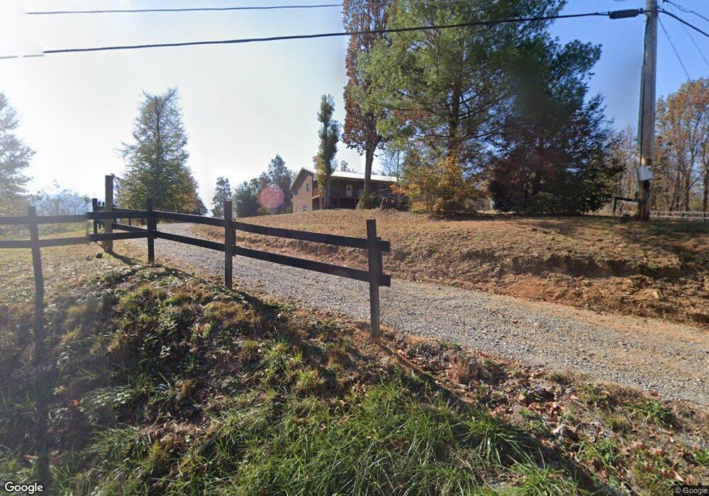
550 S Water Fork Rd Greeneville, TN 37743
Estimated Value: $118,000 - $789,417
--
Bed
4
Baths
3,341
Sq Ft
$136/Sq Ft
Est. Value
About This Home
This home is located at 550 S Water Fork Rd, Greeneville, TN 37743 and is currently estimated at $453,709, approximately $135 per square foot. 550 S Water Fork Rd is a home located in Greene County with nearby schools including Camp Creek Elementary School, South Greene Middle School, and South Greene High School.
Ownership History
Date
Name
Owned For
Owner Type
Purchase Details
Closed on
Oct 6, 2017
Sold by
Harrison Barbara Faye
Bought by
Harrison Raymond Scott
Current Estimated Value
Purchase Details
Closed on
Jun 8, 2009
Sold by
Harrison Rex Ray
Bought by
Harrison Raymond Scott
Purchase Details
Closed on
Oct 16, 2006
Sold by
Harrison Flora
Bought by
Harrison Rex Ray
Purchase Details
Closed on
May 8, 2006
Sold by
Harrison Rex R
Bought by
Harrison Raymond Scott
Create a Home Valuation Report for This Property
The Home Valuation Report is an in-depth analysis detailing your home's value as well as a comparison with similar homes in the area
Home Values in the Area
Average Home Value in this Area
Purchase History
| Date | Buyer | Sale Price | Title Company |
|---|---|---|---|
| Harrison Raymond Scott | $22,800 | None Available | |
| Harrison Raymond Scott | $40,000 | -- | |
| Harrison Rex Ray | -- | -- | |
| Harrison Raymond Scott | $2,000 | -- |
Source: Public Records
Tax History Compared to Growth
Tax History
| Year | Tax Paid | Tax Assessment Tax Assessment Total Assessment is a certain percentage of the fair market value that is determined by local assessors to be the total taxable value of land and additions on the property. | Land | Improvement |
|---|---|---|---|---|
| 2024 | $2,183 | $132,300 | $48,475 | $83,825 |
| 2023 | $2,183 | $132,300 | $0 | $0 |
| 2022 | $179,400 | $89,050 | $40,350 | $48,700 |
| 2021 | $1,810 | $89,825 | $41,700 | $48,125 |
| 2020 | $1,810 | $89,825 | $41,700 | $48,125 |
| 2019 | $1,523 | $89,825 | $41,700 | $48,125 |
| 2018 | $382 | $18,975 | $17,375 | $1,600 |
| 2017 | $382 | $19,375 | $17,875 | $1,500 |
| 2016 | $363 | $19,375 | $17,875 | $1,500 |
| 2015 | $363 | $19,375 | $17,875 | $1,500 |
| 2014 | $363 | $19,375 | $17,875 | $1,500 |
Source: Public Records
Map
Nearby Homes
- 310 Laws Rd
- 355 Jay Fanning Rd
- 647 & 645 Seaton Rd
- 625 Seaton Rd
- 570 Bill Jones Rd
- 1510 Greystone Rd
- 300 Peavine Way
- 1151 John Bird Rd
- 280 Camp Creek Rd
- Lots 11&12 107 Cutoff
- Tbd Bill Martin Rd
- 456 Greystone Rd
- 285 Greystone Rd
- Lot 43 Belle Arden Dr
- 296 Belle Arden Dr
- 1070 Bill Martin Rd
- 96 Belle Arden Dr
- 6110 Jones Bridge Rd
- 613 Waterstone Cir
- 397 Jennings Ln
- 485 S Water Fork Rd
- 622 S Water Fork Rd
- 155 Runion Way
- Tbd S Water Fork Rd
- 00 S Water Fork Rd
- Lot 6 - 8 S Water Fork Rd
- 13 Runion Way
- 305 S Water Fork Rd
- 206 Runion Way
- 170 Runion Way
- 185 S Water Fork Rd
- 36 Forked Deer Rd
- 815 S Water Fork Rd
- 240 Deerwood Rd
- 230 Plum Tree Ln
- 70 S Water Fork Rd
- 00 Deerwood Ln
- 1050 Mccoy Rd
- 870 Mccoy Rd
- 660 Mccoy Rd