5501 Rogue River Dr Eagle Point, OR 97524
Estimated Value: $697,183 - $762,000
4
Beds
3
Baths
2,603
Sq Ft
$280/Sq Ft
Est. Value
About This Home
This home is located at 5501 Rogue River Dr, Eagle Point, OR 97524 and is currently estimated at $729,592, approximately $280 per square foot. 5501 Rogue River Dr is a home located in Jackson County with nearby schools including Shady Cove School, Eagle Point Middle School, and White Mountain Middle School.
Ownership History
Date
Name
Owned For
Owner Type
Purchase Details
Closed on
Sep 19, 2002
Sold by
Hay Terry D and Hay Teresa J
Bought by
Marx Gregory P and Marx Dorothy L
Current Estimated Value
Home Financials for this Owner
Home Financials are based on the most recent Mortgage that was taken out on this home.
Original Mortgage
$220,000
Outstanding Balance
$89,262
Interest Rate
6.24%
Estimated Equity
$640,330
Purchase Details
Closed on
Dec 15, 2000
Sold by
Sullivan Edward L and Sullivan Brenda
Bought by
Hay Terry D and Hay Teresa J
Create a Home Valuation Report for This Property
The Home Valuation Report is an in-depth analysis detailing your home's value as well as a comparison with similar homes in the area
Purchase History
| Date | Buyer | Sale Price | Title Company |
|---|---|---|---|
| Marx Gregory P | $310,000 | Multiple | |
| Hay Terry D | -- | -- |
Source: Public Records
Mortgage History
| Date | Status | Borrower | Loan Amount |
|---|---|---|---|
| Open | Marx Gregory P | $220,000 |
Source: Public Records
Tax History
| Year | Tax Paid | Tax Assessment Tax Assessment Total Assessment is a certain percentage of the fair market value that is determined by local assessors to be the total taxable value of land and additions on the property. | Land | Improvement |
|---|---|---|---|---|
| 2026 | $5,246 | $485,400 | -- | -- |
| 2025 | $5,120 | $471,270 | $223,730 | $247,540 |
| 2024 | $5,120 | $457,550 | $217,220 | $240,330 |
| 2023 | $4,946 | $444,230 | $210,890 | $233,340 |
| 2022 | $4,812 | $444,230 | $210,890 | $233,340 |
| 2021 | $4,683 | $431,300 | $204,740 | $226,560 |
| 2020 | $5,085 | $418,740 | $198,770 | $219,970 |
| 2019 | $5,022 | $394,710 | $187,350 | $207,360 |
| 2018 | $4,907 | $383,220 | $181,880 | $201,340 |
| 2017 | $4,512 | $383,220 | $181,880 | $201,340 |
| 2016 | $4,366 | $361,230 | $171,450 | $189,780 |
| 2015 | $4,212 | $361,230 | $171,450 | $189,780 |
| 2014 | $3,994 | $340,500 | $161,610 | $178,890 |
Source: Public Records
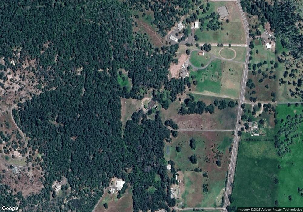
Map
Nearby Homes
- 363 Kitty Dr
- 218 Long Branch Rd
- 5845 Rhodes Ln
- 104 Hart Cir
- 20455 Highway 62
- 78 Maple Dr
- 20055 Highway 62 Unit 1
- 20055 Highway 62 Unit 49
- 330 Penny Ln
- 536 Rogue Air Dr
- 176 Cindy Way
- 20140 Highway 62
- 21 Brophy Way Unit 17
- 461 Sawyer Rd
- 7266 Rogue River Dr
- 0 Cabetowne Way Unit 220200666
- 120 Birch St
- 209 White Oak Way
- 103 Summit Dr
- 22071 Highway 62 Unit 54
- 5615 Rogue River Dr
- 5477 Rogue River Dr
- 5683 Rogue River Dr
- 5355 Rogue River Dr
- 5494 Rogue River Dr
- 5333 Rogue River Dr
- 0 Rogue River Tl700 Dr Unit 102970551
- 5151 Rogue River Dr
- 185 Kitty Dr
- 130 Kitty Dr
- 5662 Rogue River Dr
- 5175 Rogue River Dr
- 203 Kitty Dr
- 375 Kitty Dr
- 166 Kitty Dr
- 5167 Rogue River Dr
- 200 Kitty Dr
- 222 Kitty Dr
- 225 Kitty Dr
- 5787 Rogue River Dr
Your Personal Tour Guide
Ask me questions while you tour the home.