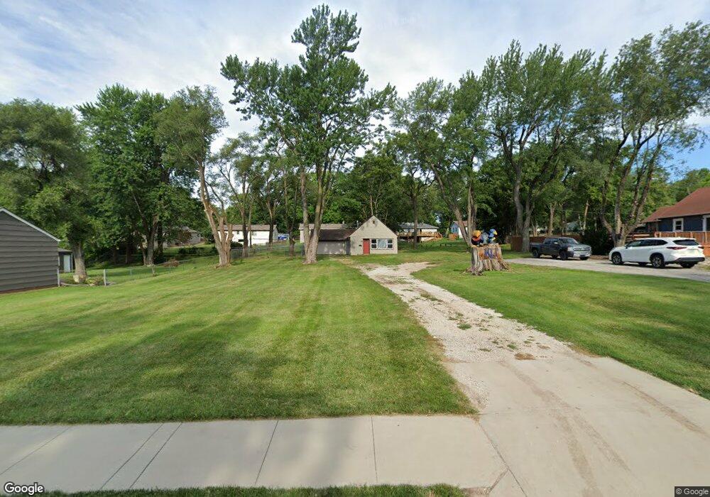
5506 Nieman Rd Shawnee, KS 66203
Estimated Value: $240,000 - $275,000
2
Beds
1
Bath
940
Sq Ft
$266/Sq Ft
Est. Value
About This Home
This home is located at 5506 Nieman Rd, Shawnee, KS 66203 and is currently estimated at $249,708, approximately $265 per square foot. 5506 Nieman Rd is a home located in Johnson County with nearby schools including Bluejacket / Flint Elementary, Hocker Grove Middle School, and Shawnee Mission North High School.
Ownership History
Date
Name
Owned For
Owner Type
Purchase Details
Closed on
Aug 17, 2023
Sold by
Bingham Linda E
Bought by
Davidson Travis M C and Murthy Meena
Current Estimated Value
Purchase Details
Closed on
Sep 27, 2002
Sold by
Johns Cheryl P and Pruitt Cheryl
Bought by
Johns Carl
Purchase Details
Closed on
Feb 4, 2002
Sold by
Johns Carl G and Johns Cheryl P
Bought by
Johns Cheryl P
Create a Home Valuation Report for This Property
The Home Valuation Report is an in-depth analysis detailing your home's value as well as a comparison with similar homes in the area
Home Values in the Area
Average Home Value in this Area
Purchase History
| Date | Buyer | Sale Price | Title Company |
|---|---|---|---|
| Davidson Travis M C | -- | Stewart Title Company | |
| Johns Carl | -- | -- | |
| Johns Cheryl P | -- | -- |
Source: Public Records
Tax History Compared to Growth
Tax History
| Year | Tax Paid | Tax Assessment Tax Assessment Total Assessment is a certain percentage of the fair market value that is determined by local assessors to be the total taxable value of land and additions on the property. | Land | Improvement |
|---|---|---|---|---|
| 2024 | $2,431 | $23,368 | $4,894 | $18,474 |
| 2023 | $2,281 | $21,378 | $4,894 | $16,484 |
| 2022 | $2,082 | $19,435 | $4,440 | $14,995 |
| 2021 | $2,041 | $17,698 | $3,858 | $13,840 |
| 2020 | $1,815 | $15,513 | $3,514 | $11,999 |
| 2019 | $1,729 | $14,755 | $2,933 | $11,822 |
| 2018 | $1,558 | $13,225 | $2,675 | $10,550 |
| 2017 | $1,548 | $12,938 | $2,675 | $10,263 |
| 2016 | $1,403 | $11,558 | $2,675 | $8,883 |
| 2015 | $1,274 | $11,052 | $2,675 | $8,377 |
| 2013 | -- | $10,569 | $2,675 | $7,894 |
Source: Public Records
Map
Nearby Homes
- 11002 W 55th Terrace
- 5308 Mcanany Dr
- Ashwood Plan at Bristol Highlands - North
- The Fleetwood Plan at Bristol Highlands - The Villas
- Cypress II Plan at Bristol Highlands - North
- The Fleetwood Plan at Bristol Highlands - The Manors
- The Brentwood Plan at Bristol Highlands - The Villas
- Yorkshire V Plan at Bristol Highlands - North
- The Kirkwood Plan at Bristol Highlands - The Villas
- 8013 Payne St
- The Rockwood Plan at Bristol Highlands - The Villas
- Magnolia Plan at Bristol Highlands - North
- 11403 W 51st Terrace
- 11815 W 53rd St
- 5407 Halsey St
- 5504 Monrovia St
- 10116 W 52nd Terrace
- 13126 W 52nd Terrace
- 13134 W 52nd Terrace
- 13130 W 52nd Terrace
- 5504 Nieman Rd
- 5515 Barton Ln
- 5509 Barton Ln
- 5518 Nieman Rd
- 5521 Barton Ln
- 5503 Barton Ln
- 5524 Nieman Rd
- 5527 Barton Ln
- 5530 Nieman Rd
- 5533 Barton Ln
- 11115 W 55th St
- 11030 W 55th Terrace
- 5505 Nieman Rd
- 5515 Nieman Rd
- 5516 Barton Ln
- 5506 Barton Ln
- 5536 Nieman Rd
- 5539 Barton Ln
- 5514 Barton Ln
- 5508 Barton Ln