551 Anchorage Ave Unit 120 Carlsbad, CA 92011
South Beach NeighborhoodEstimated Value: $1,632,000 - $1,707,000
4
Beds
3
Baths
2,220
Sq Ft
$747/Sq Ft
Est. Value
About This Home
This home is located at 551 Anchorage Ave Unit 120, Carlsbad, CA 92011 and is currently estimated at $1,659,110, approximately $747 per square foot. 551 Anchorage Ave Unit 120 is a home located in San Diego County with nearby schools including Pacific Rim Elementary, Aviara Oaks Middle, and Carlsbad High School.
Ownership History
Date
Name
Owned For
Owner Type
Purchase Details
Closed on
Mar 31, 2000
Sold by
K Hovnanian At Ocean Walk Inc
Bought by
Vanbeeck Joseph John and Vanbeeck Anita
Current Estimated Value
Home Financials for this Owner
Home Financials are based on the most recent Mortgage that was taken out on this home.
Original Mortgage
$200,000
Interest Rate
7.75%
Mortgage Type
Purchase Money Mortgage
Create a Home Valuation Report for This Property
The Home Valuation Report is an in-depth analysis detailing your home's value as well as a comparison with similar homes in the area
Home Values in the Area
Average Home Value in this Area
Purchase History
| Date | Buyer | Sale Price | Title Company |
|---|---|---|---|
| Vanbeeck Joseph John | $355,000 | First American Title |
Source: Public Records
Mortgage History
| Date | Status | Borrower | Loan Amount |
|---|---|---|---|
| Closed | Vanbeeck Joseph John | $200,000 |
Source: Public Records
Tax History Compared to Growth
Tax History
| Year | Tax Paid | Tax Assessment Tax Assessment Total Assessment is a certain percentage of the fair market value that is determined by local assessors to be the total taxable value of land and additions on the property. | Land | Improvement |
|---|---|---|---|---|
| 2025 | $6,249 | $545,344 | $289,710 | $255,634 |
| 2024 | $6,249 | $534,652 | $284,030 | $250,622 |
| 2023 | $6,218 | $524,169 | $278,461 | $245,708 |
| 2022 | $6,130 | $513,892 | $273,001 | $240,891 |
| 2021 | $6,087 | $503,817 | $267,649 | $236,168 |
| 2020 | $6,050 | $498,652 | $264,905 | $233,747 |
| 2019 | $5,950 | $488,875 | $259,711 | $229,164 |
| 2018 | $5,722 | $479,290 | $254,619 | $224,671 |
| 2017 | $91 | $469,893 | $249,627 | $220,266 |
| 2016 | $5,432 | $460,681 | $244,733 | $215,948 |
| 2015 | $5,412 | $453,762 | $241,057 | $212,705 |
| 2014 | $5,330 | $444,875 | $236,336 | $208,539 |
Source: Public Records
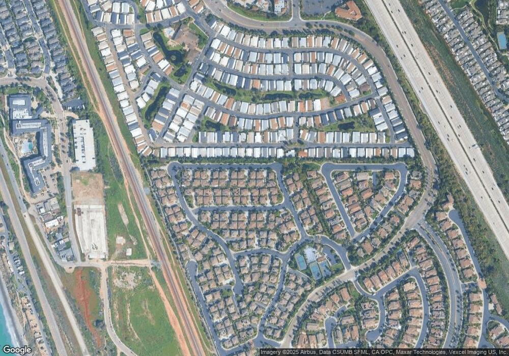
Map
Nearby Homes
- 7313 San Luis St Unit 236
- 7236 San Benito St Unit 355
- 7233 San Bartolo St Unit 376
- 7305 San Bartolo St Unit 374
- 7241 San Luis St
- 7313 Santa Barbara St Unit 294
- 7317 Santa Barbara St Unit 292
- 7025 San Bartolo St Unit 42
- 7232 Santa Barbara St Unit 318
- 7207 Santa Barbara St Unit 154
- 7008 San Bartolo St Unit 27
- 7002 San Bartolo St Unit 30
- 7205 Santa Barbara St Unit 153
- 7027 San Bartolo St Unit 43
- 7024 San Bartolo St Unit 19
- 7023 San Bartolo St Unit 41
- 7144 Santa Rosa St Unit 86
- 7004 San Bartolo St
- 7066 Leeward St Unit 95
- 7013 Lavender Way
- 565 Anchorage Ave
- 569 Anchorage Ave Unit 126
- 550 Dew Point Ave Unit 139
- 549 Anchorage Ave Unit 119
- 537 Anchorage Ave Unit 118
- 539 Anchorage Ave
- 553 Anchorage Ave Unit 122
- 555 Anchorage Ave
- 552 Dew Point Ave Unit 141
- 538 Dew Point Ave
- 534 Dew Point Ave Unit 135
- 535 Anchorage Ave
- 554 Dew Point Ave Unit 140
- 567 Anchorage Ave Unit 124
- 533 Anchorage Ave
- 566 Dew Point Ave Unit 143
- 521 Anchorage Ave
- 522 Dew Point Ave
- 564 Dew Point Ave Unit 142
- 548 Dew Point Ave Unit 138