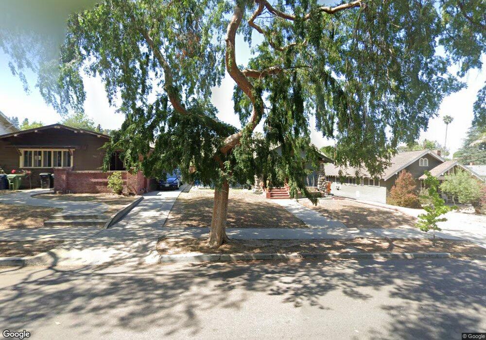
5519 Atlas St Los Angeles, CA 90032
El Sereno NeighborhoodEstimated Value: $1,072,000 - $1,295,902
4
Beds
2
Baths
1,228
Sq Ft
$951/Sq Ft
Est. Value
About This Home
This home is located at 5519 Atlas St, Los Angeles, CA 90032 and is currently estimated at $1,167,226, approximately $950 per square foot. 5519 Atlas St is a home located in Los Angeles County with nearby schools including Sierra Vista Elementary School, El Sereno Middle School, and Abraham Lincoln High School.
Ownership History
Date
Name
Owned For
Owner Type
Purchase Details
Closed on
Oct 6, 2004
Sold by
Quintero Martha Villarreal and Torres Gloria Villarreal
Bought by
Arida Jorge L and Chavez Marisela R
Current Estimated Value
Home Financials for this Owner
Home Financials are based on the most recent Mortgage that was taken out on this home.
Original Mortgage
$340,800
Outstanding Balance
$145,606
Interest Rate
3.75%
Mortgage Type
Purchase Money Mortgage
Estimated Equity
$1,021,620
Create a Home Valuation Report for This Property
The Home Valuation Report is an in-depth analysis detailing your home's value as well as a comparison with similar homes in the area
Home Values in the Area
Average Home Value in this Area
Purchase History
| Date | Buyer | Sale Price | Title Company |
|---|---|---|---|
| Arida Jorge L | $426,000 | Ticor Title Company Fullerto |
Source: Public Records
Mortgage History
| Date | Status | Borrower | Loan Amount |
|---|---|---|---|
| Open | Arida Jorge L | $340,800 | |
| Closed | Arida Jorge L | $42,600 |
Source: Public Records
Tax History Compared to Growth
Tax History
| Year | Tax Paid | Tax Assessment Tax Assessment Total Assessment is a certain percentage of the fair market value that is determined by local assessors to be the total taxable value of land and additions on the property. | Land | Improvement |
|---|---|---|---|---|
| 2025 | $8,878 | $724,471 | $432,243 | $292,228 |
| 2024 | $8,878 | $710,267 | $423,768 | $286,499 |
| 2023 | $8,709 | $696,341 | $415,459 | $280,882 |
| 2022 | $8,310 | $682,688 | $407,313 | $275,375 |
| 2021 | $8,203 | $669,303 | $399,327 | $269,976 |
| 2019 | $7,960 | $649,453 | $387,484 | $261,969 |
| 2018 | $7,825 | $636,720 | $379,887 | $256,833 |
| 2016 | $7,470 | $611,998 | $365,137 | $246,861 |
| 2015 | $7,071 | $578,400 | $384,800 | $193,600 |
| 2014 | $7,235 | $578,400 | $384,800 | $193,600 |
Source: Public Records
Map
Nearby Homes
- 4506 Maycrest Ave
- 2070 Meridian Ave
- 4343 Stillwell Ave
- 5262 Remstoy Dr
- 4501 Richard Dr
- 4206 Lowell Ave
- 1130 Pine St
- 4211 Lowell Ave
- 1257 Huntington Dr Unit A
- 5219 Lathrop St
- 1218 Pine St
- 4200 Barrett Rd
- 838 Braewood Ct
- 431 La Terraza St
- 1810 Ramona Ave Unit 36
- 3949 Stockbridge Ave
- 868 Braewood Ct
- 1301 Spruce St
- 228 Hampden Terrace
- 5390 Huntington Dr S
- 5513 Atlas St
- 5523 Atlas St
- 5509 Atlas St
- 5529 Atlas St
- 5520 Kendall Ave
- 5503 Atlas St
- 5516 Kendall Ave
- 4511 Berkshire Ave
- 5524 Kendall Ave
- 5510 Kendall Ave
- 4515 Berkshire Ave
- 4501 Berkshire Ave
- 5512 Atlas St
- 5518 Atlas St
- 5522 Atlas St
- 5506 Atlas St
- 4425 Berkshire Ave
- 4527 Berkshire Ave
- 5500 Atlas St
- 4421 Berkshire Ave