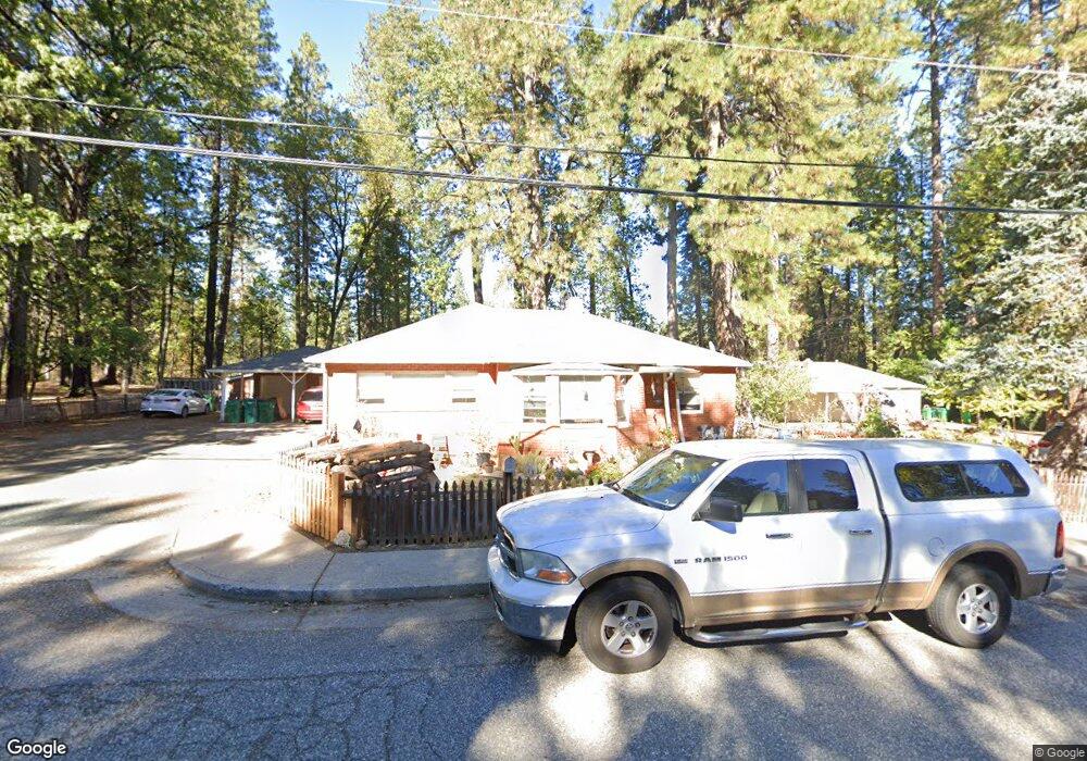
552 Brock Rd Nevada City, CA 95959
Estimated Value: $631,000 - $951,322
--
Bed
--
Bath
--
Sq Ft
0.5
Acres
About This Home
This home is located at 552 Brock Rd, Nevada City, CA 95959 and is currently estimated at $805,581. 552 Brock Rd is a home located in Nevada County with nearby schools including Deer Creek Elementary School, Seven Hills Intermediate School, and Nevada City Charter School.
Ownership History
Date
Name
Owned For
Owner Type
Purchase Details
Closed on
Nov 13, 2009
Sold by
Baker Bowman Jr Thomas James and Baker Bowman Carol
Bought by
Bowman Thomas J and Bowman Carol B
Current Estimated Value
Purchase Details
Closed on
May 24, 2002
Sold by
Minasian Stanley C
Bought by
Baker Bowman Jr Timothy James and Baker Bowman Carol
Home Financials for this Owner
Home Financials are based on the most recent Mortgage that was taken out on this home.
Original Mortgage
$173,600
Outstanding Balance
$73,098
Interest Rate
6.89%
Estimated Equity
$732,483
Create a Home Valuation Report for This Property
The Home Valuation Report is an in-depth analysis detailing your home's value as well as a comparison with similar homes in the area
Home Values in the Area
Average Home Value in this Area
Purchase History
| Date | Buyer | Sale Price | Title Company |
|---|---|---|---|
| Bowman Thomas J | -- | None Available | |
| Baker Bowman Jr Timothy James | $434,000 | Placer Title Company |
Source: Public Records
Mortgage History
| Date | Status | Borrower | Loan Amount |
|---|---|---|---|
| Open | Baker Bowman Jr Timothy James | $173,600 |
Source: Public Records
Tax History Compared to Growth
Tax History
| Year | Tax Paid | Tax Assessment Tax Assessment Total Assessment is a certain percentage of the fair market value that is determined by local assessors to be the total taxable value of land and additions on the property. | Land | Improvement |
|---|---|---|---|---|
| 2025 | $6,820 | $641,131 | $295,451 | $345,680 |
| 2024 | $6,698 | $628,560 | $289,658 | $338,902 |
| 2023 | $6,698 | $616,236 | $283,979 | $332,257 |
| 2022 | $6,567 | $604,154 | $278,411 | $325,743 |
| 2021 | $6,374 | $592,308 | $272,952 | $319,356 |
| 2020 | $6,365 | $586,236 | $270,154 | $316,082 |
| 2019 | $6,241 | $574,742 | $264,857 | $309,885 |
| 2018 | $0 | $563,473 | $259,664 | $303,809 |
| 2017 | $6,012 | $552,425 | $254,573 | $297,852 |
| 2016 | $5,797 | $541,594 | $249,582 | $292,012 |
| 2015 | $5,719 | $533,460 | $245,834 | $287,626 |
| 2014 | $5,635 | $523,011 | $241,019 | $281,992 |
Source: Public Records
Map
Nearby Homes
- 104 Perseverance Mine Ct
- 327 Bridge Way
- 447 Zion St
- 342 Bridge Way
- 336 Bridge Way
- 16970 Old Downieville Hwy
- 12766 Nevada City Hwy
- 181 Bost Ave
- 327 Drummond St
- 631 Chief Kelly Dr
- 651 Chief Kelly Dr
- 520 Lost Hill Ct
- 210 Mill St
- 214 Mill St
- 500 Factory St
- 660 Chief Kelly Dr
- 202 Gold Flat Rd
- 421 Broad St
- 11772 Marjon Dr
- 11220 Marjon Dr
- 532 Brock Rd Unit 532
- 549 Brock Rd
- 533 Brock Rd
- 439 Brock Rd
- 4 Providence Mine Rd
- 450 Providence Mine Rd
- 2 Providence Mine Rd
- 433 Brock Rd
- 410 Brock Rd
- 351 Providence Mine Rd
- 352 Providence Mine Rd
- 401 Brock Rd
- 349 Brock Rd
- 350 Providence Mine Rd
- 356 Providence Mine Rd Unit D
- 353 Providence Mine Rd
- 356 Providence Mine Rd
- 356 Providence Mine Rd