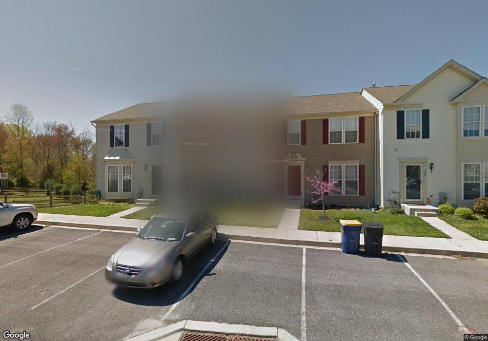
552 Greens Branch Ln Smyrna, DE 19977
Estimated Value: $276,000 - $329,000
3
Beds
2
Baths
1,364
Sq Ft
$216/Sq Ft
Est. Value
About This Home
This home is located at 552 Greens Branch Ln, Smyrna, DE 19977 and is currently estimated at $295,229, approximately $216 per square foot. 552 Greens Branch Ln is a home located in Kent County with nearby schools including North Smyrna Elementary School, John Bassett Moore Intermediate School, and Smyrna Middle School.
Ownership History
Date
Name
Owned For
Owner Type
Purchase Details
Closed on
May 9, 2008
Sold by
Nvr Inc
Bought by
Akeredolu Adetinuke M and Akeredolu Mikaila O
Current Estimated Value
Home Financials for this Owner
Home Financials are based on the most recent Mortgage that was taken out on this home.
Original Mortgage
$169,099
Outstanding Balance
$107,369
Interest Rate
5.93%
Mortgage Type
FHA
Estimated Equity
$187,860
Purchase Details
Closed on
Feb 21, 2008
Sold by
Eagle View Associates Llc
Bought by
Nvr Inc
Create a Home Valuation Report for This Property
The Home Valuation Report is an in-depth analysis detailing your home's value as well as a comparison with similar homes in the area
Home Values in the Area
Average Home Value in this Area
Purchase History
| Date | Buyer | Sale Price | Title Company |
|---|---|---|---|
| Akeredolu Adetinuke M | $171,788 | None Available | |
| Nvr Inc | $201,000 | None Available |
Source: Public Records
Mortgage History
| Date | Status | Borrower | Loan Amount |
|---|---|---|---|
| Open | Akeredolu Adetinuke M | $169,099 |
Source: Public Records
Tax History Compared to Growth
Tax History
| Year | Tax Paid | Tax Assessment Tax Assessment Total Assessment is a certain percentage of the fair market value that is determined by local assessors to be the total taxable value of land and additions on the property. | Land | Improvement |
|---|---|---|---|---|
| 2025 | $981 | $232,600 | $61,400 | $171,200 |
| 2024 | $981 | $232,600 | $61,400 | $171,200 |
| 2023 | $850 | $32,000 | $3,000 | $29,000 |
| 2022 | $811 | $32,000 | $3,000 | $29,000 |
| 2021 | $795 | $32,000 | $3,000 | $29,000 |
| 2020 | $694 | $32,000 | $3,000 | $29,000 |
| 2019 | $701 | $32,000 | $3,000 | $29,000 |
| 2018 | $701 | $32,000 | $3,000 | $29,000 |
| 2017 | $699 | $32,000 | $0 | $0 |
| 2016 | $709 | $32,000 | $0 | $0 |
| 2015 | $712 | $32,000 | $0 | $0 |
| 2014 | $666 | $32,000 | $0 | $0 |
Source: Public Records
Map
Nearby Homes
- 107 Summer Dr
- 652 W Glenwood Ave
- 722 W Glenwood Ave
- 333 Arctic Ln
- 38 Trala St
- 361 Eagle Way
- 89 Wheeler Cir
- 417 Paul Dr
- 87 Foxwood Dr
- 13 N Howard St
- 5087 Wheatleys Pond Rd
- 95 Spelt Dr
- 212 Nugent Loop
- 456 Ronald Ln
- 118 N New St
- 38 S Carter Rd
- 381 Duck Creek Pkwy
- 103 Smyrna Ave
- 341 W Commerce St
- 2 Kenton Cir
- 550 Greens Branch Ln
- 554 Greens Branch Ln
- 548 Greens Branch Ln
- 546 Greens Branch Ln
- 544 Greens Branch Ln
- 402 Horizon Ln
- 540 Greens Branch Ln
- 549 Greens Branch Ln
- 547 Greens Branch Ln
- 538 Greens Branch Ln
- 406 Horizon Ln
- 410 Horizon Ln
- 545 Greens Branch Ln
- 543 Greens Branch Ln
- 536 Greens Branch Ln
- 412 Horizon Ln
- 539 Greens Branch Ln
- 534 Greens Branch Ln
- 537 Greens Branch Ln
- 401 Horizon Ln