552 Millers Mill Rd Stockbridge, GA 30281
Estimated Value: $255,000 - $311,000
3
Beds
1
Bath
1,740
Sq Ft
$164/Sq Ft
Est. Value
About This Home
This home is located at 552 Millers Mill Rd, Stockbridge, GA 30281 and is currently estimated at $284,584, approximately $163 per square foot. 552 Millers Mill Rd is a home located in Henry County with nearby schools including Pleasant Grove Elementary School, Woodland Middle School, and Woodland High School.
Ownership History
Date
Name
Owned For
Owner Type
Purchase Details
Closed on
Aug 12, 2005
Sold by
Knight John R
Bought by
Knight John R and Knight Sally
Current Estimated Value
Home Financials for this Owner
Home Financials are based on the most recent Mortgage that was taken out on this home.
Original Mortgage
$88,000
Outstanding Balance
$45,960
Interest Rate
5.57%
Mortgage Type
New Conventional
Estimated Equity
$238,624
Create a Home Valuation Report for This Property
The Home Valuation Report is an in-depth analysis detailing your home's value as well as a comparison with similar homes in the area
Home Values in the Area
Average Home Value in this Area
Purchase History
| Date | Buyer | Sale Price | Title Company |
|---|---|---|---|
| Knight John R | -- | -- | |
| Knight John R | $110,000 | -- |
Source: Public Records
Mortgage History
| Date | Status | Borrower | Loan Amount |
|---|---|---|---|
| Open | Knight John R | $88,000 | |
| Closed | Knight John R | $16,500 |
Source: Public Records
Tax History Compared to Growth
Tax History
| Year | Tax Paid | Tax Assessment Tax Assessment Total Assessment is a certain percentage of the fair market value that is determined by local assessors to be the total taxable value of land and additions on the property. | Land | Improvement |
|---|---|---|---|---|
| 2024 | $3,179 | $106,000 | $14,720 | $91,280 |
| 2023 | $2,695 | $104,280 | $14,200 | $90,080 |
| 2022 | $2,538 | $78,400 | $13,080 | $65,320 |
| 2021 | $2,180 | $65,000 | $11,240 | $53,760 |
| 2020 | $2,064 | $60,240 | $10,600 | $49,640 |
| 2019 | $1,805 | $53,080 | $10,040 | $43,040 |
| 2018 | $1,926 | $56,240 | $9,280 | $46,960 |
| 2016 | $1,563 | $46,760 | $8,200 | $38,560 |
| 2015 | $1,348 | $40,360 | $9,440 | $30,920 |
| 2014 | $1,176 | $35,760 | $9,440 | $26,320 |
Source: Public Records
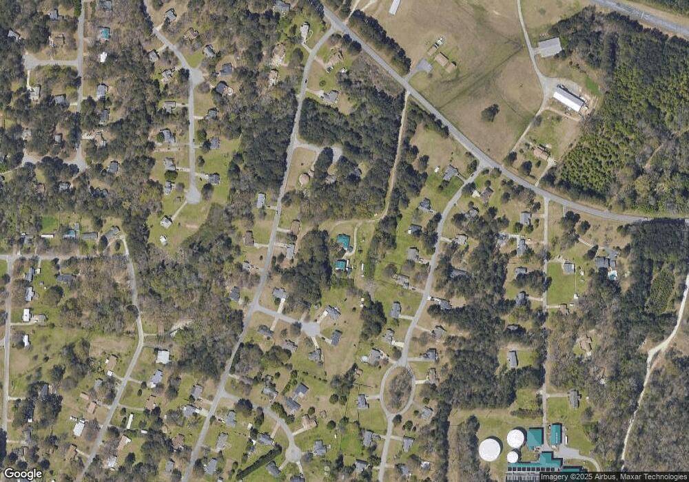
Map
Nearby Homes
- 116 Lakepointe Ct
- 839 Taurus Dr
- 171 Country Mill Ln
- 454 Acacia Dr
- 160 Country Mill Ln
- 10 Caroline Dr
- 1316 Sycamore St
- 280 Highland Cir
- 125 Highland Cir
- 105 Highland Cir
- 129 Talon Place
- Hayden Plan at The Reserve at Calcutta
- Penwell Plan at The Reserve at Calcutta
- Hanover Plan at The Reserve at Calcutta
- 8 Dixie Dr
- 50 Rhonda Dr
- 205 Montgomery Dr
- 588 Whitman Ln
- 627 Whitman Ln
- 596 Whitman Ln
- 79 Water View Dr
- 99 Waterview Dr
- 99 Water View Dr
- 16 Pond Ct
- 117 Lakepointe Ct Unit 1
- 45 Lakewood Ct
- 123 Lakepointe Ct Unit 1
- 25 Lakewood Ct
- 111 Lakepointe Ct
- 111 Lakepointe Ct Unit 1
- 0 Pond Ct Unit 7452623
- 0 Pond Ct Unit 7031332
- 0 Pond Ct Unit 7445244
- 0 Pond Ct Unit 7327068
- 0 Pond Ct Unit 3276678
- 0 Pond Ct Unit 7303208
- 0 Pond Ct
- 10 Pond Ct
- 21 Pond Ct
- 105 Lakepointe Ct