5527 Merkel Rd Dexter, MI 48130
Estimated Value: $432,000 - $631,000
3
Beds
3
Baths
1,668
Sq Ft
$339/Sq Ft
Est. Value
About This Home
This home is located at 5527 Merkel Rd, Dexter, MI 48130 and is currently estimated at $565,691, approximately $339 per square foot. 5527 Merkel Rd is a home located in Washtenaw County with nearby schools including Bates Elementary School, Creekside Intermediate School, and Anchor Elementary School.
Ownership History
Date
Name
Owned For
Owner Type
Purchase Details
Closed on
Jul 15, 2011
Sold by
Wiggins Layne Kent and Wiggins Paula
Bought by
Wiggins Layne Kent and Wiggins Paula
Current Estimated Value
Purchase Details
Closed on
Jun 10, 2011
Sold by
Federal Home Loan Mortgage Corporation
Bought by
Wiggins Layne Kent
Purchase Details
Closed on
Aug 12, 2010
Sold by
Wilhelm Robert W and Wilhelm Elizabeth K
Bought by
Federal Home Loan Mortgage Corp
Create a Home Valuation Report for This Property
The Home Valuation Report is an in-depth analysis detailing your home's value as well as a comparison with similar homes in the area
Home Values in the Area
Average Home Value in this Area
Purchase History
| Date | Buyer | Sale Price | Title Company |
|---|---|---|---|
| Wiggins Layne Kent | -- | None Available | |
| Wiggins Layne Kent | $185,500 | Attorneys Title Agency Llc | |
| Federal Home Loan Mortgage Corp | $301,629 | None Available |
Source: Public Records
Tax History
| Year | Tax Paid | Tax Assessment Tax Assessment Total Assessment is a certain percentage of the fair market value that is determined by local assessors to be the total taxable value of land and additions on the property. | Land | Improvement |
|---|---|---|---|---|
| 2025 | $1,874 | $257,900 | $0 | $0 |
| 2024 | $1,820 | $241,200 | $0 | $0 |
| 2023 | $1,734 | $214,600 | $0 | $0 |
| 2022 | $5,702 | $198,900 | $0 | $0 |
| 2021 | $5,542 | $193,200 | $0 | $0 |
| 2020 | $5,475 | $188,000 | $0 | $0 |
| 2019 | $5,443 | $176,800 | $176,800 | $0 |
| 2018 | $5,334 | $171,700 | $0 | $0 |
| 2017 | $5,108 | $169,000 | $0 | $0 |
| 2016 | $1,491 | $140,263 | $0 | $0 |
| 2015 | -- | $139,844 | $0 | $0 |
| 2014 | -- | $135,475 | $0 | $0 |
| 2013 | -- | $135,475 | $0 | $0 |
Source: Public Records
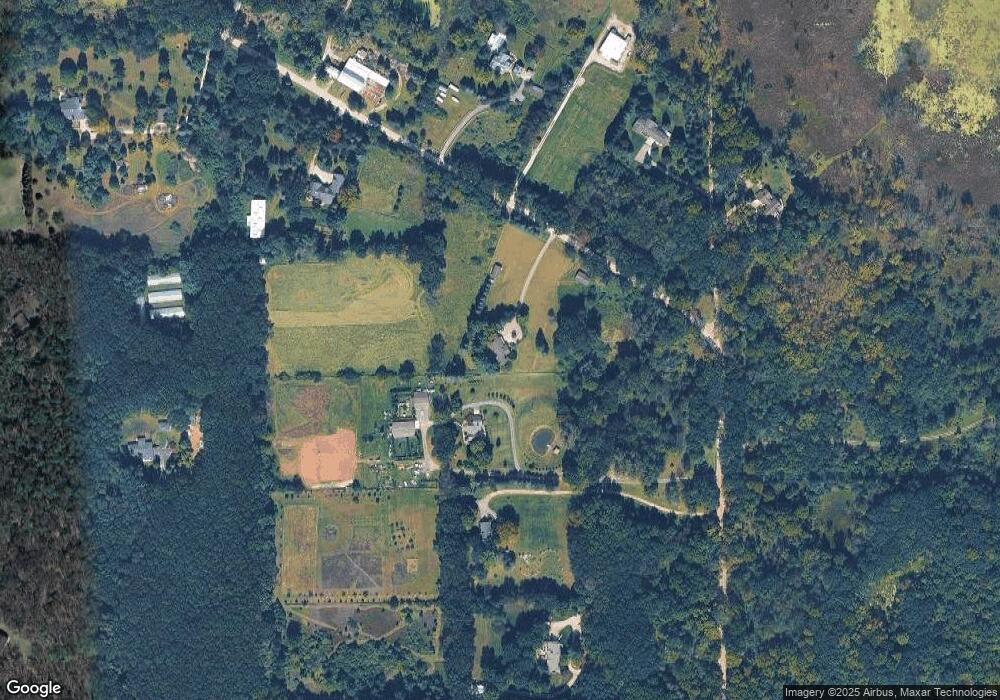
Map
Nearby Homes
- 7468 Webster Church Rd
- 9380 Dinser Ln
- 4297 Dinser Ln
- 7343 Lucy Dr
- 6336 Mast Rd
- 7433 Walsh Rd
- 7412 Black Forest Dr Unit 21
- 8045 Trail Ridge
- 8814 Pellett Dr
- 5696 Trail Side Ln Unit 3
- 5725 Trail Side Ln
- 5824 Trail Side Ln
- 5660 Trailside Ln Unit 4
- 7700 Chamberlin Rd
- 6170 Gregory Rd
- 11565 Locust Ln
- Lot 1 Dunlavy Ln
- 11205 Redberry Ct
- 5557 Cobble Ln Unit 3
- 11663 Colangelo Ln
Your Personal Tour Guide
Ask me questions while you tour the home.