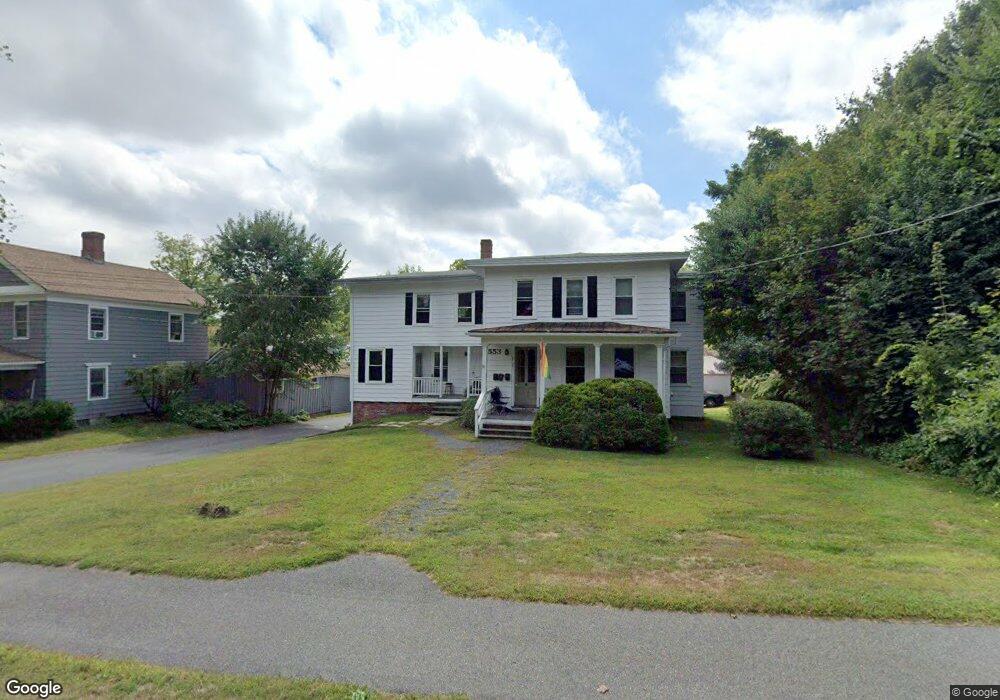
553 Main St Amherst, MA 01002
Estimated Value: $716,000 - $931,000
6
Beds
3
Baths
2,834
Sq Ft
$286/Sq Ft
Est. Value
About This Home
This home is located at 553 Main St, Amherst, MA 01002 and is currently estimated at $811,333, approximately $286 per square foot. 553 Main St is a home located in Hampshire County with nearby schools including Fort River Elementary School, Amherst Regional Middle School, and Amherst Regional High School.
Create a Home Valuation Report for This Property
The Home Valuation Report is an in-depth analysis detailing your home's value as well as a comparison with similar homes in the area
Home Values in the Area
Average Home Value in this Area
Tax History
| Year | Tax Paid | Tax Assessment Tax Assessment Total Assessment is a certain percentage of the fair market value that is determined by local assessors to be the total taxable value of land and additions on the property. | Land | Improvement |
|---|---|---|---|---|
| 2025 | $105 | $583,400 | $183,900 | $399,500 |
| 2024 | $10,262 | $554,400 | $173,500 | $380,900 |
| 2023 | $9,753 | $485,200 | $157,700 | $327,500 |
| 2022 | $9,506 | $446,900 | $143,300 | $303,600 |
| 2021 | $9,522 | $436,400 | $132,800 | $303,600 |
| 2020 | $9,304 | $436,400 | $132,800 | $303,600 |
| 2019 | $8,993 | $412,500 | $132,800 | $279,700 |
| 2018 | $8,720 | $412,500 | $132,800 | $279,700 |
| 2017 | $8,577 | $392,900 | $126,500 | $266,400 |
| 2016 | $8,337 | $392,900 | $126,500 | $266,400 |
| 2015 | $8,070 | $392,900 | $126,500 | $266,400 |
Source: Public Records
Map
Nearby Homes
- 48 Gray St
- 0 Main St
- 0 Red Gate Ln Unit 73348273
- 242 N East St Unit 24
- 174 Lincoln Ave
- 50 Mount Pleasant
- 75 Amity Place Unit 75
- 63 Amity Place Unit 63
- 310 Belchertown Rd
- 0 Heatherstone Rd
- 24 Greenleaves Dr Unit 418
- 0 Amherst Rd
- 26 Greenleaves Dr Unit 635
- 26 Greenleaves Dr Unit 624
- 27 Greenleaves Dr Unit 726
- 30 Greenleaves Dr
- 204 Aubinwood Rd
- 23 Greenleaves Dr Unit 107
- 53 Pine Grove Unit 53
- 67 Pine Grove Unit 67
Your Personal Tour Guide
Ask me questions while you tour the home.