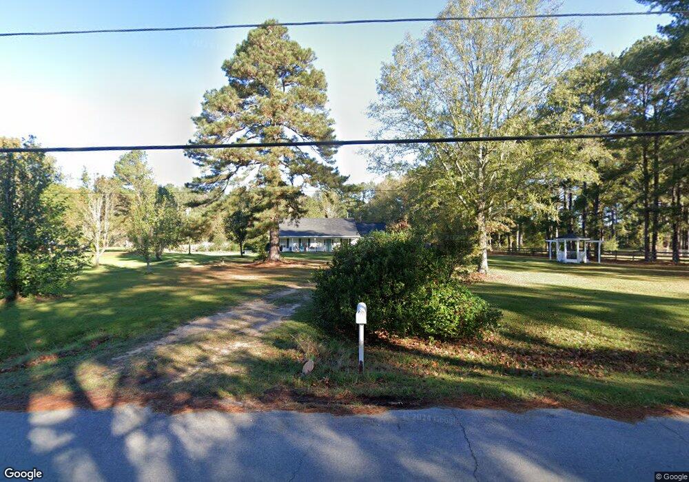
553 Oak Ridge Rd Brandon, MS 39042
Estimated Value: $268,364 - $399,000
--
Bed
--
Bath
2,226
Sq Ft
$152/Sq Ft
Est. Value
About This Home
This home is located at 553 Oak Ridge Rd, Brandon, MS 39042 and is currently estimated at $338,121, approximately $151 per square foot. 553 Oak Ridge Rd is a home located in Rankin County with nearby schools including McLaurin Elementary School.
Ownership History
Date
Name
Owned For
Owner Type
Purchase Details
Closed on
Dec 19, 2019
Sold by
Christmans Timothy L
Bought by
Christmas Dena and Christmas Timothy L
Current Estimated Value
Purchase Details
Closed on
Jun 17, 2010
Sold by
Lori S Lori S
Bought by
Christmas Timothy L
Create a Home Valuation Report for This Property
The Home Valuation Report is an in-depth analysis detailing your home's value as well as a comparison with similar homes in the area
Home Values in the Area
Average Home Value in this Area
Purchase History
| Date | Buyer | Sale Price | Title Company |
|---|---|---|---|
| Christmas Dena | -- | None Available | |
| Christmas Timothy L | -- | -- |
Source: Public Records
Tax History Compared to Growth
Tax History
| Year | Tax Paid | Tax Assessment Tax Assessment Total Assessment is a certain percentage of the fair market value that is determined by local assessors to be the total taxable value of land and additions on the property. | Land | Improvement |
|---|---|---|---|---|
| 2024 | $911 | $12,271 | $0 | $0 |
| 2023 | $808 | $11,230 | $0 | $0 |
| 2022 | $1,637 | $16,845 | $0 | $0 |
| 2021 | $1,601 | $16,470 | $0 | $0 |
| 2020 | $1,601 | $16,470 | $0 | $0 |
| 2019 | $1,461 | $14,618 | $0 | $0 |
| 2018 | $1,432 | $14,618 | $0 | $0 |
| 2017 | $805 | $9,745 | $0 | $0 |
| 2016 | $762 | $9,807 | $0 | $0 |
| 2015 | $762 | $9,807 | $0 | $0 |
| 2014 | $741 | $9,807 | $0 | $0 |
| 2013 | -- | $9,807 | $0 | $0 |
Source: Public Records
Map
Nearby Homes
- 110 Hawks Nest Cove
- 0 Easy St
- 1264 Shell Oil Rd
- 1100 Rock Hill Rd
- J05 Red Light Rd
- 4167 Highway 18
- 0 Peter McAfee Dr
- 3826 Mississippi 18
- 1175 Sanctuary Dr
- 0 Bill Hubbard Rd
- 0 Donna Ashley St
- 0 Joe Davis Dr
- Scott St
- Scott St
- 0 Clara Foote Rd
- 309 Stronghold Dr
- 213 New Haven Ln
- 307 Stronghold Dr
- 221 New Haven Ln
- 217 New Haven Ln
- 553 Oak Ridge Rd
- 547 Oak Ridge Rd
- 547 Oak Ridge Way Unit (Lot 129)
- 563 Oak Ridge Rd
- 563 Oak Ridge Rd
- 558 Oak Ridge Rd
- 571 Oak Ridge Rd
- 568 Oak Ridge Rd
- 568 Oak Ridge Rd Unit (Lot 201)
- 102 May Lake Cove
- 309 Louise Ln
- 303 Louise Ln
- 315 Louise Ln
- 315 Louise Ln Unit 9
- 313 Louise Ln
- 529 Oak Ridge Rd
- 583 Oak Ridge Rd
- 583 Oak Ridge Rd
- 583 Oak Ridge Rd Unit (Lot272)
- 583 Oak Ridge Rd