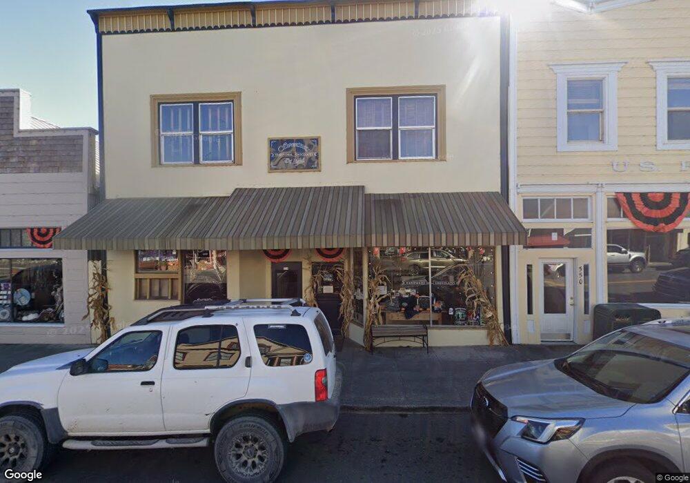
554 Main St Ferndale, CA 95536
Estimated Value: $652,070
Studio
4
Baths
4,540
Sq Ft
$144/Sq Ft
Est. Value
About This Home
This home is located at 554 Main St, Ferndale, CA 95536 and is currently estimated at $652,070, approximately $143 per square foot. 554 Main St is a home located in Humboldt County with nearby schools including Ferndale Elementary School, Ferndale High School, and Moore Academy.
Ownership History
Date
Name
Owned For
Owner Type
Purchase Details
Closed on
Feb 21, 2018
Sold by
Wolford Robert B and Mary Beth Wolford Trust
Bought by
Renner Thomas J
Current Estimated Value
Purchase Details
Closed on
Oct 11, 2005
Sold by
Wolford Mary Beth
Bought by
Wolford Mary Beth and Mary Beth Wolford Trust Of 200
Purchase Details
Closed on
Aug 27, 2004
Sold by
Katri Dennis B and Katri Dennis B
Bought by
Wolford Mary Beth
Home Financials for this Owner
Home Financials are based on the most recent Mortgage that was taken out on this home.
Original Mortgage
$200,000
Interest Rate
5.72%
Mortgage Type
Seller Take Back
Purchase Details
Closed on
Apr 15, 1999
Sold by
Katri Dennis B and Katri Candace E
Bought by
Katri Dennis B and Katri Candace E
Create a Home Valuation Report for This Property
The Home Valuation Report is an in-depth analysis detailing your home's value as well as a comparison with similar homes in the area
Purchase History
| Date | Buyer | Sale Price | Title Company |
|---|---|---|---|
| Renner Thomas J | $435,000 | Humboldt Land Title Company | |
| Wolford Mary Beth | -- | -- | |
| Wolford Mary Beth | $380,000 | Fidelity National | |
| Katri Dennis B | -- | -- |
Source: Public Records
Mortgage History
| Date | Status | Borrower | Loan Amount |
|---|---|---|---|
| Previous Owner | Wolford Mary Beth | $200,000 |
Source: Public Records
Tax History
| Year | Tax Paid | Tax Assessment Tax Assessment Total Assessment is a certain percentage of the fair market value that is determined by local assessors to be the total taxable value of land and additions on the property. | Land | Improvement |
|---|---|---|---|---|
| 2025 | $9,110 | $494,949 | $170,671 | $324,278 |
| 2024 | $9,110 | $485,245 | $167,325 | $317,920 |
| 2023 | $8,883 | $475,732 | $164,045 | $311,687 |
| 2022 | $8,808 | $466,405 | $160,829 | $305,576 |
| 2021 | $8,707 | $457,261 | $157,676 | $299,585 |
| 2020 | $8,669 | $452,574 | $156,060 | $296,514 |
| 2019 | $7,853 | $443,700 | $153,000 | $290,700 |
| 2018 | $6,453 | $280,000 | $90,000 | $190,000 |
| 2017 | $7,586 | $280,000 | $90,000 | $190,000 |
| 2016 | $6,980 | $280,000 | $90,000 | $190,000 |
| 2015 | -- | $280,000 | $90,000 | $190,000 |
| 2014 | -- | $280,000 | $90,000 | $190,000 |
Source: Public Records
Map
Nearby Homes
- 389 Berding St
- 1025 Dewey Ave
- 1234 Rose Ave
- 1289 Madison St
- 0 Mattole Rd
- 984 Tennyson Ave
- 0 Ambrosini Ln
- 1395/1392 Port Kenyon Rd
- 1700 Clay Ave
- 000 Williams Creek Rd
- 500 Sage Rd
- 2835 Centerville Rd
- 0 Church St Unit 326015012
- 0 Church St Unit 271562
- 275 Church St
- 105 Annahy Dr
- 711 Franklin Ave
- 781 Tompkins Hill Rd
- 85 Shadowbrook St
- 125 Shadowbrook St
Your Personal Tour Guide
Ask me questions while you tour the home.