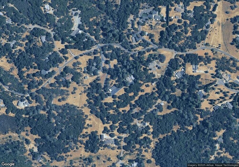
5544 Silver Lode Dr Placerville, CA 95667
Estimated Value: $427,000 - $1,262,000
3
Beds
3
Baths
2,003
Sq Ft
$380/Sq Ft
Est. Value
About This Home
This home is located at 5544 Silver Lode Dr, Placerville, CA 95667 and is currently estimated at $761,943, approximately $380 per square foot. 5544 Silver Lode Dr is a home located in El Dorado County with nearby schools including Herbert C. Green Middle School, Indian Creek Elementary School, and Union Mine High School.
Ownership History
Date
Name
Owned For
Owner Type
Purchase Details
Closed on
Oct 4, 2013
Sold by
Powell Wesley and Powell Belva D
Bought by
Powell Wesley J and Powell Belva D
Current Estimated Value
Purchase Details
Closed on
Mar 25, 2003
Sold by
Martin James L and Martin Christy J
Bought by
Martin James L and Martin Christy J
Home Financials for this Owner
Home Financials are based on the most recent Mortgage that was taken out on this home.
Original Mortgage
$283,400
Interest Rate
5.72%
Purchase Details
Closed on
May 16, 2002
Sold by
Martin James L and Martin Christy J
Bought by
Martin James L and Martin Christy J
Purchase Details
Closed on
Apr 22, 1998
Sold by
Lucas Gerald L and Lucas Judy Y
Bought by
Martin James L and Martin Christy J
Home Financials for this Owner
Home Financials are based on the most recent Mortgage that was taken out on this home.
Original Mortgage
$220,000
Interest Rate
7.06%
Create a Home Valuation Report for This Property
The Home Valuation Report is an in-depth analysis detailing your home's value as well as a comparison with similar homes in the area
Home Values in the Area
Average Home Value in this Area
Purchase History
| Date | Buyer | Sale Price | Title Company |
|---|---|---|---|
| Powell Wesley J | -- | None Available | |
| Martin James L | -- | Placer Title Co | |
| Martin James L | -- | -- | |
| Martin James L | $275,000 | Placer Title Company |
Source: Public Records
Mortgage History
| Date | Status | Borrower | Loan Amount |
|---|---|---|---|
| Closed | Martin James L | $283,400 | |
| Closed | Martin James L | $220,000 |
Source: Public Records
Tax History
| Year | Tax Paid | Tax Assessment Tax Assessment Total Assessment is a certain percentage of the fair market value that is determined by local assessors to be the total taxable value of land and additions on the property. | Land | Improvement |
|---|---|---|---|---|
| 2025 | $4,664 | $457,157 | $143,693 | $313,464 |
| 2024 | $4,664 | $448,194 | $140,876 | $307,318 |
| 2023 | $4,552 | $439,407 | $138,114 | $301,293 |
| 2022 | $4,500 | $430,792 | $135,406 | $295,386 |
| 2021 | $4,436 | $422,346 | $132,751 | $289,595 |
| 2020 | $4,376 | $418,016 | $131,390 | $286,626 |
| 2019 | $4,306 | $409,820 | $128,814 | $281,006 |
| 2018 | $4,182 | $401,786 | $126,289 | $275,497 |
| 2017 | $4,091 | $393,909 | $123,813 | $270,096 |
| 2016 | $4,041 | $386,186 | $121,386 | $264,800 |
| 2015 | $3,830 | $380,386 | $119,563 | $260,823 |
| 2014 | $3,830 | $372,937 | $117,222 | $255,715 |
Source: Public Records
Map
Nearby Homes
- 0 Echo Ln Unit 226012331
- 4627 El Dorado Rd
- 4117 El Dorado Rd
- 6371 Mother Lode Dr
- 3904 Sunshine Ct
- 6300 Longview Dr
- 6387 Mother Lode Dr Unit 71
- 6387 Mother Lode Dr Unit 115
- 6540 Serendipity Ln
- 6433 Mother Lode Dr
- 4111 Badger Ln
- 5520 Mother Lode Dr
- 2 Shinn Ranch Rd
- 3 Shinn Ranch Rd
- 4460 Fawn St
- 6069 Pleasant Valley Rd
- 6290 El Dorado St
- 4818 Fall St
- 3366 Greenwood Ln
- 4160 Oro Ln Unit 7
- 5511 Silver Lode Dr
- 0 Silver Lode Dr
- 5500 Silver Lode Dr
- 4040 Emerald Ln
- 4167 Emerald Ln
- 5581 Silver Lode Dr
- 4190 Emerald Ln
- 5639 Silver Lode Dr
- 5531 Silver Lode Dr
- 4081 Emerald Ln
- 5481 Silver Lode Dr
- 4201 Emerald Ln
- 5641 Silverlode Dr
- 5641 Silver Lode Dr
- 3041 Silver Lode Ct
- 4421 Sonja Ct
- 4420 Sonja Ct
- 5451 Silver Lode Dr
- 4080 Swan Ln
- 5661 Silver Lode Dr
