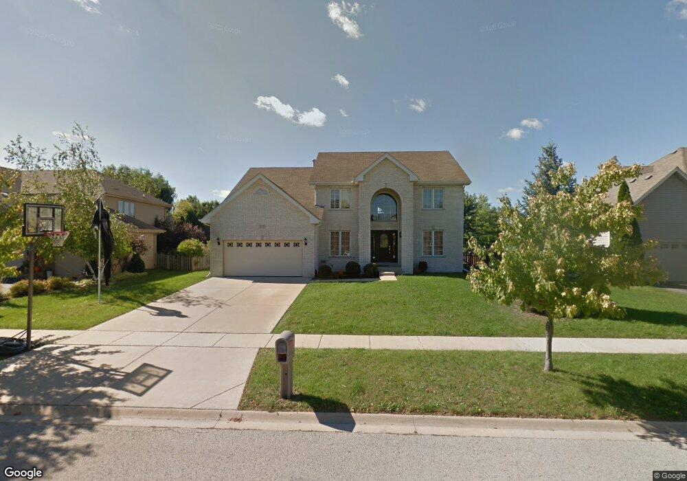
555 Danbury Dr Oswego, IL 60543
South Oswego NeighborhoodEstimated Value: $487,803 - $533,000
4
Beds
3
Baths
2,885
Sq Ft
$180/Sq Ft
Est. Value
About This Home
This home is located at 555 Danbury Dr, Oswego, IL 60543 and is currently estimated at $520,701, approximately $180 per square foot. 555 Danbury Dr is a home located in Kendall County with nearby schools including Prairie Point Elementary School, Traughber Junior High School, and Oswego High School.
Ownership History
Date
Name
Owned For
Owner Type
Purchase Details
Closed on
Nov 25, 2003
Sold by
Rice Gary R and Rice Dorene E
Bought by
Conklin Christopher and Conklin Kathy L
Current Estimated Value
Purchase Details
Closed on
May 8, 2001
Sold by
Castletown Homes Inc
Bought by
Rice Gary R and Rice Dorene E
Home Financials for this Owner
Home Financials are based on the most recent Mortgage that was taken out on this home.
Original Mortgage
$217,600
Interest Rate
7.02%
Create a Home Valuation Report for This Property
The Home Valuation Report is an in-depth analysis detailing your home's value as well as a comparison with similar homes in the area
Home Values in the Area
Average Home Value in this Area
Purchase History
| Date | Buyer | Sale Price | Title Company |
|---|---|---|---|
| Conklin Christopher | $302,000 | Ticor Title | |
| Rice Gary R | $272,000 | Chicago Title Insurance Co |
Source: Public Records
Mortgage History
| Date | Status | Borrower | Loan Amount |
|---|---|---|---|
| Previous Owner | Rice Gary R | $217,600 |
Source: Public Records
Tax History
| Year | Tax Paid | Tax Assessment Tax Assessment Total Assessment is a certain percentage of the fair market value that is determined by local assessors to be the total taxable value of land and additions on the property. | Land | Improvement |
|---|---|---|---|---|
| 2024 | $11,200 | $145,177 | $28,486 | $116,691 |
| 2023 | $10,006 | $128,475 | $25,209 | $103,266 |
| 2022 | $10,006 | $116,795 | $22,917 | $93,878 |
| 2021 | $9,653 | $109,154 | $21,418 | $87,736 |
| 2020 | $9,546 | $107,014 | $20,998 | $86,016 |
| 2019 | $9,457 | $104,509 | $20,998 | $83,511 |
| 2018 | $9,812 | $106,432 | $18,948 | $87,484 |
| 2017 | $9,583 | $99,469 | $17,708 | $81,761 |
| 2016 | $9,420 | $96,572 | $17,192 | $79,380 |
| 2015 | $9,674 | $94,679 | $16,855 | $77,824 |
| 2014 | -- | $91,921 | $16,364 | $75,557 |
| 2013 | -- | $91,921 | $16,364 | $75,557 |
Source: Public Records
Map
Nearby Homes
- 524 Sudbury Cir
- 538 Sudbury Cir
- 483 Deerfield Dr
- 482 Deerfield Dr
- 291 Morgan Valley Dr
- 509 Marty Ln
- 676 Cumberland Ln
- 668 Cumberland Ln
- 673 Cumberland Ln
- 851 Claridge Dr
- 770 Dartmouth Ln
- 777 Dartmouth Ln
- 875 Claridge Dr
- 395 Danforth Dr
- 616 Briarwood Ln
- 4215 Southerland Dr
- 204 Dorset Ave
- 2249 Riesling Rd
- 612 Murdock Place
- 2319 Hirsch Dr
- 553 Danbury Dr
- 557 Danbury Dr Unit 3
- 408 Camden Cir
- 404 Camden Cir
- 551 Danbury Dr
- 559 Danbury Dr Unit 3
- 554 Danbury Dr
- 552 Danbury Dr
- 410 Camden Cir
- 556 Danbury Dr
- 550 Danbury Dr
- 549 Danbury Dr
- 558 Danbury Dr
- 414 Camden Cir
- 454 Camden Cir
- 424 Camden Cir
- 405 Camden Cir
- 407 Camden Cir
- 440 Camden Cir
- 438 Camden Cir