555 N 520 E Providence, UT 84332
Estimated Value: $716,000 - $874,383
6
Beds
4
Baths
3,600
Sq Ft
$221/Sq Ft
Est. Value
About This Home
This home is located at 555 N 520 E, Providence, UT 84332 and is currently estimated at $797,096, approximately $221 per square foot. 555 N 520 E is a home located in Cache County with nearby schools including Providence School, Spring Creek Middle School, and South Cache Middle School.
Ownership History
Date
Name
Owned For
Owner Type
Purchase Details
Closed on
Mar 5, 2020
Sold by
Dyer Trever B
Bought by
Dyer Trever B and Dyer Kristin H
Current Estimated Value
Home Financials for this Owner
Home Financials are based on the most recent Mortgage that was taken out on this home.
Original Mortgage
$372,000
Outstanding Balance
$328,677
Interest Rate
3.6%
Mortgage Type
New Conventional
Estimated Equity
$468,419
Purchase Details
Closed on
Aug 5, 2019
Sold by
Pickett Jed Stewart and Pickett Corey Ellen
Bought by
Pickett Jed S
Purchase Details
Closed on
Sep 21, 2017
Sold by
Pickett Jed and Pickett Corey
Bought by
Pickett Jed Stewart and Pickett Corey Ellen
Purchase Details
Closed on
Oct 19, 2016
Sold by
500 North Llc
Bought by
Pickett Jed and Pickett Corey
Create a Home Valuation Report for This Property
The Home Valuation Report is an in-depth analysis detailing your home's value as well as a comparison with similar homes in the area
Home Values in the Area
Average Home Value in this Area
Purchase History
| Date | Buyer | Sale Price | Title Company |
|---|---|---|---|
| Dyer Trever B | -- | American Secure Ttl Tremonto | |
| Dyer Trever B | -- | Cache Title Logan | |
| Pickett Jed S | -- | Cache Title Logan | |
| Pickett Jed Stewart | -- | -- | |
| Pickett Jed | -- | Cache Title Company |
Source: Public Records
Mortgage History
| Date | Status | Borrower | Loan Amount |
|---|---|---|---|
| Open | Dyer Trever B | $372,000 |
Source: Public Records
Tax History Compared to Growth
Tax History
| Year | Tax Paid | Tax Assessment Tax Assessment Total Assessment is a certain percentage of the fair market value that is determined by local assessors to be the total taxable value of land and additions on the property. | Land | Improvement |
|---|---|---|---|---|
| 2025 | $3,397 | $476,255 | $0 | $0 |
| 2024 | $3,625 | $472,835 | $0 | $0 |
| 2023 | $4,101 | $503,965 | $0 | $0 |
| 2022 | $3,954 | $458,865 | $0 | $0 |
| 2021 | $4,128 | $734,060 | $88,000 | $646,060 |
| 2020 | $3,940 | $649,792 | $88,000 | $561,792 |
| 2019 | $4,162 | $649,792 | $88,000 | $561,792 |
| 2018 | $3,698 | $589,600 | $88,000 | $501,600 |
| 2017 | $1,031 | $87,000 | $0 | $0 |
| 2016 | $1,042 | $60,900 | $0 | $0 |
Source: Public Records
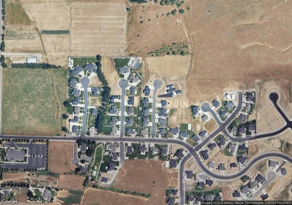
Map
Nearby Homes
- 556 N 520 E
- 720 E 525 N Unit 32
- 680 E 525 N
- Cedar Ridge Plan at Shoreline Estates
- Strata Plan at Shoreline Estates
- Hamilton Plan at Shoreline Estates
- Manhattan Plan at Shoreline Estates
- Huntington Plan at Shoreline Estates
- Viewside Plan at Shoreline Estates
- Fairway Plan at Shoreline Estates
- Armani Plan at Shoreline Estates
- Navigator Plan at Shoreline Estates
- Chamberlain Plan at Shoreline Estates
- Jefferson Plan at Shoreline Estates
- 602 E 300 N
- Ashland Plan at Homes on the Knoll
- 730 E 400 N Unit 13
- Lyndhurst Plan at Vineyard - Providence
- Fairview Plan at Vineyard - Providence
- Auburn Plan at Vineyard - Providence
- 555 N 520 E Unit 17
- 573 N 520 E
- 558 N 470 E
- 576 N 470 E
- 574 N 520 E
- 505 E 500 N
- 511 N 520 E Unit 14
- 557 N 470 E
- 485 E 500 N Unit 13
- 542 N 520 E
- 512 N 520 E
- 435 E Spring Creek Pkwy
- 592 N 470 E
- 529 N 470 E
- 504 E 500 N
- 522 E 500 N Unit 27
- 618 E 525 N Unit 7
- 538 E Spring Creek Pkwy
- 546 N 400 E
- 487 N 470 E