555 W John Ln Safford, AZ 85546
Estimated Value: $510,000 - $817,393
Studio
--
Bath
3,144
Sq Ft
$207/Sq Ft
Est. Value
About This Home
This home is located at 555 W John Ln, Safford, AZ 85546 and is currently estimated at $651,798, approximately $207 per square foot. 555 W John Ln is a home located in Graham County with nearby schools including Dorothy Stinson School, Ruth Powell Elementary School, and Lafe Nelson School.
Ownership History
Date
Name
Owned For
Owner Type
Purchase Details
Closed on
Jan 11, 2007
Sold by
John Daniel Paul and John Margie Jeanette
Bought by
Yentsch Richard J and Yenstch Jolie D
Current Estimated Value
Create a Home Valuation Report for This Property
The Home Valuation Report is an in-depth analysis detailing your home's value as well as a comparison with similar homes in the area
Purchase History
| Date | Buyer | Sale Price | Title Company |
|---|---|---|---|
| Yentsch Richard J | -- | Accommodation |
Source: Public Records
Tax History
| Year | Tax Paid | Tax Assessment Tax Assessment Total Assessment is a certain percentage of the fair market value that is determined by local assessors to be the total taxable value of land and additions on the property. | Land | Improvement |
|---|---|---|---|---|
| 2026 | $3,860 | -- | -- | -- |
| 2025 | $3,860 | $64,833 | $6,656 | $58,177 |
| 2024 | $4,040 | $59,583 | $4,909 | $54,674 |
| 2023 | $4,040 | $47,689 | $4,570 | $43,119 |
| 2022 | $3,947 | $42,733 | $3,580 | $39,153 |
| 2021 | $4,340 | $0 | $0 | $0 |
| 2020 | $4,271 | $0 | $0 | $0 |
| 2019 | $5,563 | $0 | $0 | $0 |
| 2018 | $5,250 | $0 | $0 | $0 |
| 2017 | $5,063 | $0 | $0 | $0 |
| 2016 | $5,245 | $0 | $0 | $0 |
| 2015 | $4,688 | $0 | $0 | $0 |
Source: Public Records
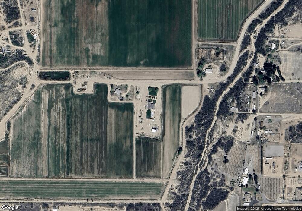
Map
Nearby Homes
- 223 Calle de Buena Vista
- TBD Calle de Buena Vista Unit 6
- 650 E Corto Senda Unit 5
- .37ac Apache & Navajo Dr Unit 43
- .21ac Yavapai & Kiva Dr Unit 195
- 8615 S Thunderbird Dr
- TBD #2 Mohawk Dr
- TBD #1 Mohawk Dr
- 8583 S Thunderbird Dr
- 0.23ac Yavapai Dr Unit 272
- 8495 Navajo Dr
- 8420 S Ute Cir
- TBD Navajo
- TBD Tbd S Hwy 191 Unit 3
- TBD Tbd S Hwy 191 Unit 4
- TBD Dakota Dr
- TBD Tbd Hwy 191 S Unit 2
- TBD Tbd Hwy 191 S Unit 1
- TBD #5 Tbd S Hwy 191 Unit 5
- 596 Clearview Dr
- 253 W Rawhide Ln
- 10766 S Rawhide Ln
- 10750 S Us Highway 191
- 10936 S Us Highway 191
- 10936 S Us Hwy 191 --
- 10936 S Us Highway 191
- 11006 S Us Highway 191
- 10240 S Us Highway 191
- 700 W Quatro Cerros Rd
- 10968 S Us Highway 191
- 400 W Quatro Cerros Rd
- 10996 S Us Highway 191
- 11018 S Us Highway 191
- TBD E Artesia 2 Acres Rd
- TBD E Artesia 3 Acres Rd
- TBD E Artesia 2 Acres (New) Rd
- 690 W Quatro Cerros Rd
- 26126 S Us Highway 191
- 10406 S Us Highway 191
Your Personal Tour Guide
Ask me questions while you tour the home.