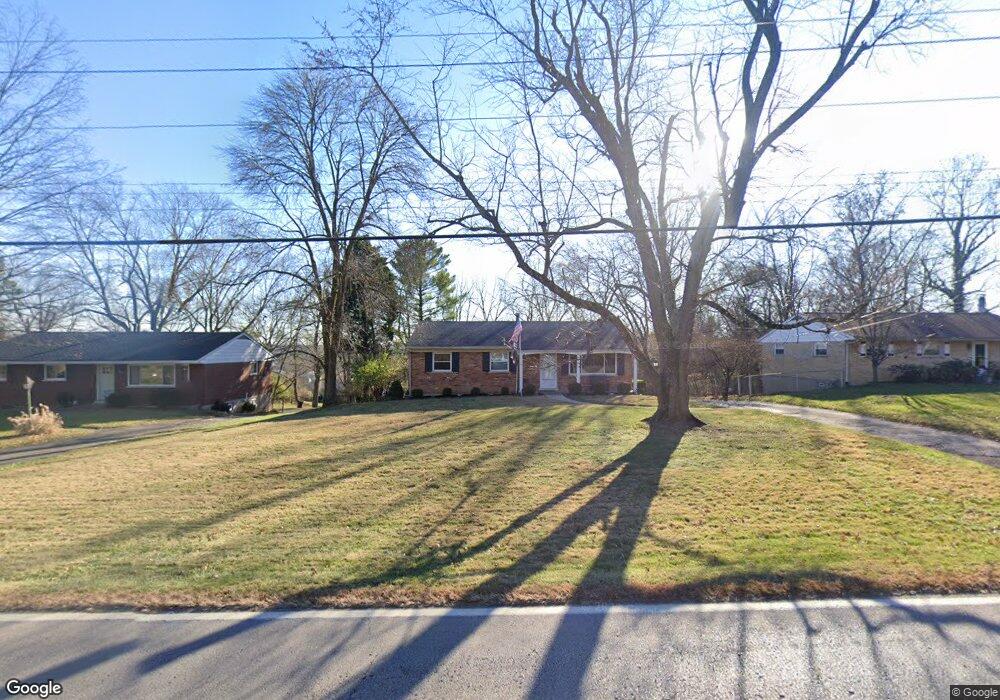
5551 W Fork Rd Cincinnati, OH 45247
West Monfort Heights NeighborhoodEstimated Value: $296,637 - $362,000
3
Beds
3
Baths
2,025
Sq Ft
$167/Sq Ft
Est. Value
About This Home
This home is located at 5551 W Fork Rd, Cincinnati, OH 45247 and is currently estimated at $338,659, approximately $167 per square foot. 5551 W Fork Rd is a home located in Hamilton County with nearby schools including Monfort Heights Elementary School, White Oak Middle School, and Colerain High School.
Create a Home Valuation Report for This Property
The Home Valuation Report is an in-depth analysis detailing your home's value as well as a comparison with similar homes in the area
Home Values in the Area
Average Home Value in this Area
Tax History
| Year | Tax Paid | Tax Assessment Tax Assessment Total Assessment is a certain percentage of the fair market value that is determined by local assessors to be the total taxable value of land and additions on the property. | Land | Improvement |
|---|---|---|---|---|
| 2025 | $4,642 | $85,572 | $14,259 | $71,313 |
| 2024 | $4,539 | $85,572 | $14,259 | $71,313 |
| 2023 | $4,559 | $85,572 | $14,259 | $71,313 |
| 2022 | $3,744 | $57,348 | $13,829 | $43,519 |
| 2021 | $3,433 | $57,348 | $13,829 | $43,519 |
| 2020 | $3,467 | $57,348 | $13,829 | $43,519 |
| 2019 | $3,417 | $51,205 | $12,348 | $38,857 |
| 2018 | $3,044 | $51,205 | $12,348 | $38,857 |
| 2017 | $2,876 | $51,205 | $12,348 | $38,857 |
| 2016 | $2,995 | $52,529 | $12,226 | $40,303 |
| 2015 | $3,022 | $52,529 | $12,226 | $40,303 |
| 2014 | $3,027 | $52,529 | $12,226 | $40,303 |
| 2013 | $2,860 | $53,057 | $12,348 | $40,709 |
Source: Public Records
Map
Nearby Homes
- 5563 Haft Rd
- 5804 Cedaridge Dr
- 5015 Nighthawk Dr
- 5801 W Fork Rd
- 4491 W Fork Rd
- 6044 Eden Roc Place
- 6051 Shelrich Ct
- 4252 Runningfawn Dr
- 3899 Ridgedale Dr
- 4044 W Fork Rd
- 5221 Clearlake Dr
- 6195 Squirrelwoods Ln
- 5753 Boomer Rd
- 4575 Boomer Rd
- 5104 Jonkard Ln
- 5225 Ivy Rose Ln
- 5165 Rowan Dr
- 6130 Wilmer Rd
- 5320 Meadow Walk Ln
- Magnolia Plan at Ivy Rose - Designer Collection