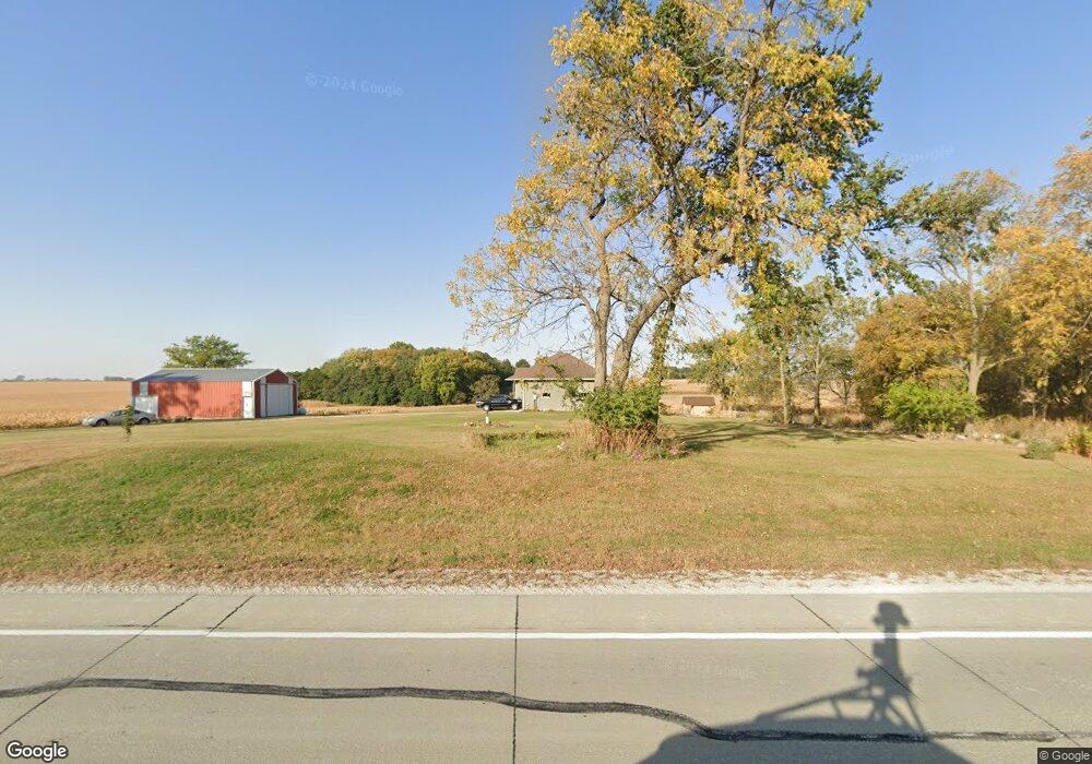
5554 N Center Point Rd Walker, IA 52352
Estimated Value: $258,000 - $423,000
3
Beds
2
Baths
1,720
Sq Ft
$212/Sq Ft
Est. Value
About This Home
This home is located at 5554 N Center Point Rd, Walker, IA 52352 and is currently estimated at $365,050, approximately $212 per square foot. 5554 N Center Point Rd is a home located in Linn County with nearby schools including North Linn Elementary School, North-Linn Middle School, and North-Linn Senior High School.
Ownership History
Date
Name
Owned For
Owner Type
Purchase Details
Closed on
Jul 22, 2010
Sold by
Cook Molly C
Bought by
Cook Martin D
Current Estimated Value
Home Financials for this Owner
Home Financials are based on the most recent Mortgage that was taken out on this home.
Original Mortgage
$176,500
Interest Rate
4.81%
Mortgage Type
New Conventional
Create a Home Valuation Report for This Property
The Home Valuation Report is an in-depth analysis detailing your home's value as well as a comparison with similar homes in the area
Home Values in the Area
Average Home Value in this Area
Purchase History
| Date | Buyer | Sale Price | Title Company |
|---|---|---|---|
| Cook Martin D | -- | None Available |
Source: Public Records
Mortgage History
| Date | Status | Borrower | Loan Amount |
|---|---|---|---|
| Closed | Cook Martin D | $176,500 |
Source: Public Records
Tax History Compared to Growth
Tax History
| Year | Tax Paid | Tax Assessment Tax Assessment Total Assessment is a certain percentage of the fair market value that is determined by local assessors to be the total taxable value of land and additions on the property. | Land | Improvement |
|---|---|---|---|---|
| 2025 | $3,994 | $361,700 | $60,000 | $301,700 |
| 2024 | $3,730 | $347,700 | $60,000 | $287,700 |
| 2023 | $3,730 | $347,700 | $60,000 | $287,700 |
| 2022 | $3,720 | $279,000 | $60,000 | $219,000 |
| 2021 | $3,304 | $279,000 | $60,000 | $219,000 |
| 2020 | $3,304 | $241,900 | $40,500 | $201,400 |
| 2019 | $3,184 | $226,400 | $40,500 | $185,900 |
| 2018 | $3,218 | $226,400 | $40,500 | $185,900 |
| 2017 | $3,402 | $227,400 | $40,500 | $186,900 |
| 2016 | $3,502 | $227,400 | $40,500 | $186,900 |
| 2015 | $3,562 | $227,400 | $40,500 | $186,900 |
| 2014 | $3,426 | $227,400 | $40,500 | $186,900 |
| 2013 | $3,342 | $227,400 | $40,500 | $186,900 |
Source: Public Records
Map
Nearby Homes
- 14 Ely St
- 302 Maple Ln
- 4617 Durow Rd
- 0 54th Street Trail
- 0 51st St Ln Unit 2508608
- 00 Stewart Ave
- 0 Stewart Ave
- 1010 Northview Dr
- 1120 Central Ave
- 1208 Franklin St
- 508 Vine St
- 920 E Washington St
- 702 Central Ave
- 4505 Urbana Rd Unit West Parcel
- 4505 Urbana Rd Unit East Parcel
- 4505 Urbana Rd
- 316 E Washington St
- 103 North St
- 507 Maplewood Dr
- 132 Green St
- 5510 N Center Point Rd
- 5656 N Center Point Rd
- 5534 Bettys Grove Rd
- 4400 Bauer Ln
- 5621 Bettys Grove Rd
- 5501 Bettys Grove Rd
- 5650 Bettys Grove Rd
- 5705 N Center Point Rd
- 4361 Wileys Rd
- 4461 Bice Blvd
- 5449 Bettys Grove Rd
- 5721 N Center Point Rd
- 5446 Bettys Grove Rd
- 4146 Campfire Rd
- 4147 Campfire Rd
- 5390 N Center Point Rd
- 4370 Wileys Rd
- 5689 Bettys Grove Rd
- 4374 Wileys Rd
- 50 Prairie Dr