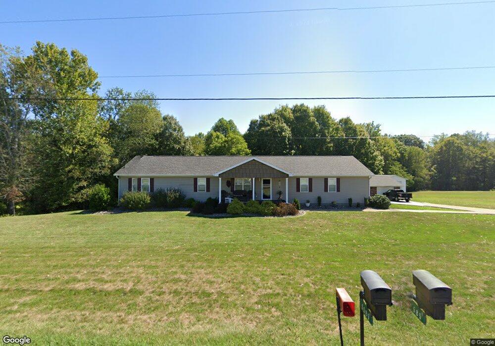
5560 State Route 339 Vincent, OH 45784
Estimated Value: $291,182 - $351,000
4
Beds
2
Baths
2,016
Sq Ft
$163/Sq Ft
Est. Value
About This Home
This home is located at 5560 State Route 339, Vincent, OH 45784 and is currently estimated at $328,546, approximately $162 per square foot. 5560 State Route 339 is a home with nearby schools including Warren High School.
Ownership History
Date
Name
Owned For
Owner Type
Purchase Details
Closed on
Aug 28, 2012
Sold by
Warfield Jeffrey T
Bought by
Warfield Tina M
Current Estimated Value
Home Financials for this Owner
Home Financials are based on the most recent Mortgage that was taken out on this home.
Original Mortgage
$111,500
Outstanding Balance
$77,044
Interest Rate
3.54%
Mortgage Type
New Conventional
Estimated Equity
$251,502
Purchase Details
Closed on
Jun 2, 2003
Bought by
Warfield Jeffrey T and Warfield Tin
Create a Home Valuation Report for This Property
The Home Valuation Report is an in-depth analysis detailing your home's value as well as a comparison with similar homes in the area
Home Values in the Area
Average Home Value in this Area
Purchase History
| Date | Buyer | Sale Price | Title Company |
|---|---|---|---|
| Warfield Tina M | -- | Mjm Title | |
| Warfield Jeffrey T | $35,000 | -- |
Source: Public Records
Mortgage History
| Date | Status | Borrower | Loan Amount |
|---|---|---|---|
| Open | Warfield Tina M | $111,500 |
Source: Public Records
Tax History Compared to Growth
Tax History
| Year | Tax Paid | Tax Assessment Tax Assessment Total Assessment is a certain percentage of the fair market value that is determined by local assessors to be the total taxable value of land and additions on the property. | Land | Improvement |
|---|---|---|---|---|
| 2024 | $2,572 | $66,420 | $7,190 | $59,230 |
| 2023 | $2,572 | $66,420 | $7,190 | $59,230 |
| 2022 | $2,541 | $66,420 | $7,190 | $59,230 |
| 2021 | $2,278 | $56,850 | $6,440 | $50,410 |
| 2020 | $2,276 | $56,850 | $6,440 | $50,410 |
| 2019 | $2,244 | $56,850 | $6,440 | $50,410 |
| 2018 | $2,171 | $53,370 | $5,150 | $48,220 |
| 2017 | $2,143 | $53,370 | $5,150 | $48,220 |
| 2016 | $2,717 | $53,370 | $5,150 | $48,220 |
| 2015 | $1,684 | $46,560 | $5,060 | $41,500 |
| 2014 | $2,396 | $46,560 | $5,060 | $41,500 |
| 2013 | $1,613 | $46,560 | $5,060 | $41,500 |
Source: Public Records
Map
Nearby Homes
- 735 Timberline Dr
- 135 Knob Dr
- 120 Fleming Dr
- 265 James Ln
- 1015 Brackenridge Rd
- 545 Lewis Pointe Dr
- 0 Brackenridge Rd Unit 23885979
- 0 Brackenridge Rd Unit 23885976
- 6570 State Route 339
- 0 Layman Rd Unit 5162075
- 0 Layman Rd Unit 5162072
- 1556 Mcgill Rd
- 2425 Rocky Point Rd
- 28 Mcgill Rd
- 8045 Veto Rd
- 10270 Ohio 550
- 15 Oakmont Dr
- 2207 Veto Rd
- 0 Ohio 550
- 130 Maze Rd
- 5550 State Route 339
- 5585 State Route 339
- 5530 State Route 339
- 540 Brackenridge Rd
- 5680 State Route 339
- 5490 State Route 339
- 5480 Ohio 339
- 560 Brackenridge Rd
- 590 Brackenridge Rd
- 5680 Ohio 339
- 525 Brackenridge Rd
- 525 Brackenridge Rd
- 5480 State Route 339
- 80 Linden Ct
- 565 Brackenridge Rd
- 655 Timberline Dr
- 20 Linden Ct
- 60 Timberline Dr
- 85 Linden Ct
- 25 A-C Lakeview Dr