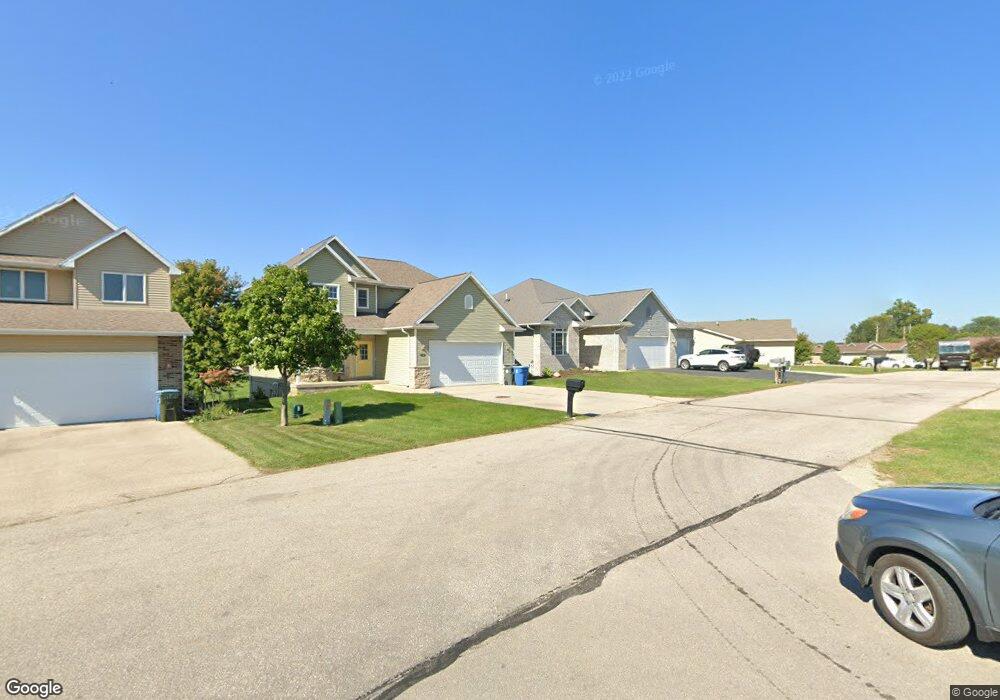
5562 Summerland Dr Waterloo, IA 50701
Estimated Value: $326,000 - $394,000
3
Beds
3
Baths
2,550
Sq Ft
$147/Sq Ft
Est. Value
About This Home
This home is located at 5562 Summerland Dr, Waterloo, IA 50701 and is currently estimated at $374,110, approximately $146 per square foot. 5562 Summerland Dr is a home located in Black Hawk County with nearby schools including Orange Elementary School, Hoover Middle School, and West High School.
Ownership History
Date
Name
Owned For
Owner Type
Purchase Details
Closed on
May 15, 2015
Sold by
Kenitzer Matthew R and Kenitzer Emily
Bought by
Luck Toni L and Luck Troy L
Current Estimated Value
Purchase Details
Closed on
Apr 29, 2010
Sold by
Rose Robert W and Rose Joan M
Bought by
Kenitzer Matthew R
Home Financials for this Owner
Home Financials are based on the most recent Mortgage that was taken out on this home.
Original Mortgage
$24,900
Interest Rate
5.16%
Mortgage Type
Credit Line Revolving
Create a Home Valuation Report for This Property
The Home Valuation Report is an in-depth analysis detailing your home's value as well as a comparison with similar homes in the area
Home Values in the Area
Average Home Value in this Area
Purchase History
| Date | Buyer | Sale Price | Title Company |
|---|---|---|---|
| Luck Toni L | $250,000 | None Available | |
| Kenitzer Matthew R | $249,000 | None Available |
Source: Public Records
Mortgage History
| Date | Status | Borrower | Loan Amount |
|---|---|---|---|
| Previous Owner | Kenitzer Matthew R | $24,900 | |
| Previous Owner | Kenitzer Matthew R | $199,200 |
Source: Public Records
Tax History Compared to Growth
Tax History
| Year | Tax Paid | Tax Assessment Tax Assessment Total Assessment is a certain percentage of the fair market value that is determined by local assessors to be the total taxable value of land and additions on the property. | Land | Improvement |
|---|---|---|---|---|
| 2024 | $6,928 | $337,990 | $39,100 | $298,890 |
| 2023 | $5,646 | $337,990 | $39,100 | $298,890 |
| 2022 | $5,494 | $269,350 | $39,100 | $230,250 |
| 2021 | $5,460 | $269,350 | $39,100 | $230,250 |
| 2020 | $5,366 | $252,940 | $34,210 | $218,730 |
| 2019 | $5,366 | $252,940 | $34,210 | $218,730 |
| 2018 | $5,370 | $252,940 | $34,210 | $218,730 |
| 2017 | $5,538 | $252,940 | $34,210 | $218,730 |
| 2016 | $5,466 | $252,940 | $34,210 | $218,730 |
| 2015 | $5,466 | $252,940 | $34,210 | $218,730 |
| 2014 | $5,648 | $252,940 | $34,210 | $218,730 |
Source: Public Records
Map
Nearby Homes
- 2903 Cohen Ln
- 5508 Summerland Dr
- 5804 Summerland Dr
- 3010 Violet Dr
- 56 Acres Hwy 218
- +/- 3.88 Acres E Shaulis Rd
- 2225 E Shaulis Rd
- 5451 Foulk Rd
- 35 acres North Ave
- 124 Ruby Dr
- 306 Southcrest Dr
- 860 Juniper Dr
- 408 Crestridge Dr
- 315 Belle St
- 4.07 acres E Orange Rd
- 5119 Southfork Ln
- Lot 5 Crossroads
- 4326 E Washburn Rd
- 4118 Omaha Ave
- 4230 Mourning Dove Dr
- 5568 Summerland Dr
- 5548 Summerland Dr
- 5602 Summerland Dr
- 5546 Summerland Dr
- 5608 Summerland Dr
- 5538 Summerland Dr
- 5553 Summerland Dr
- 5565 Summerland Dr
- 5563 Summerland Dr
- 5557 Summerland Dr
- 5612 Summerland Dr
- 5532 Summerland Dr
- 5609 Summerland Dr
- 5618 Summerland Dr
- 5547 Summerland Dr
- 5611 Summerland Dr
- 5545 Summerland Dr Unit 5547
- 5528 Summerland Dr
- 5541 Summerland Dr
- 5535 Summerland Dr