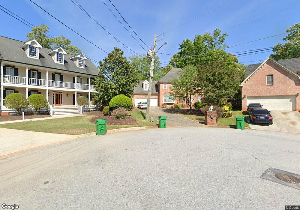
5566 Wilderness Trace Stone Mountain, GA 30087
Estimated Value: $318,000 - $446,000
3
Beds
3
Baths
2,799
Sq Ft
$128/Sq Ft
Est. Value
About This Home
This home is located at 5566 Wilderness Trace, Stone Mountain, GA 30087 and is currently estimated at $358,260, approximately $127 per square foot. 5566 Wilderness Trace is a home located in DeKalb County with nearby schools including Shadow Rock Elementary School, Redan Middle School, and Redan High School.
Ownership History
Date
Name
Owned For
Owner Type
Purchase Details
Closed on
Mar 20, 2019
Sold by
Collins Sylvia B
Bought by
Collins Sylvia Black
Current Estimated Value
Purchase Details
Closed on
Mar 19, 2019
Sold by
Collins Sylvia Black
Bought by
Collins Sylvia Black and Collins Diarra Kimani
Purchase Details
Closed on
Mar 18, 2019
Sold by
Collins Larry Joseph Estate
Bought by
Collins Sylvia Black
Create a Home Valuation Report for This Property
The Home Valuation Report is an in-depth analysis detailing your home's value as well as a comparison with similar homes in the area
Home Values in the Area
Average Home Value in this Area
Purchase History
| Date | Buyer | Sale Price | Title Company |
|---|---|---|---|
| Collins Sylvia Black | $178,000 | -- | |
| Collins Sylvia Black | $178,000 | -- | |
| Collins Sylvia Black | $178,000 | -- |
Source: Public Records
Tax History
| Year | Tax Paid | Tax Assessment Tax Assessment Total Assessment is a certain percentage of the fair market value that is determined by local assessors to be the total taxable value of land and additions on the property. | Land | Improvement |
|---|---|---|---|---|
| 2025 | $1,073 | $138,640 | $16,200 | $122,440 |
| 2024 | $1,171 | $144,120 | $16,200 | $127,920 |
| 2023 | $1,171 | $137,880 | $11,880 | $126,000 |
Source: Public Records
Map
Nearby Homes
- 743 Mountain Meadow Walk
- 5694 Southland Dr
- 5651 Wells Cir
- 5743 Wells Cir
- 5713 Wells Cir
- 5707 Wells Cir
- 5607 Stonington Trace Pkwy
- 5691 Wells Cir
- 758 S Stone Mountain Lithonia Rd
- 5594 Stonington Trace Pkwy
- 759 Greenhedge Dr
- 703 Kingsgate Ridge
- 708 Greenhedge Dr Unit 3A
- 5450 Hedgeflower Ct
- 826 Greenhedge Way Unit 2
- 447 Sherwood Cir
- 5450 Fox Haven Trail
- 482 Maid Marion Ln Unit 1
- 5802 Simone Dr Unit 4
- 5729 Masters Ct
- 5570 Wilderness Trace Unit 3
- 5565 Wilderness Trace
- 5565 Manassas Run
- 5573 Manassas Run
- 5567 Wilderness Trace
- 5576 Wilderness Trace Unit 10
- 5576 Wilderness Trace
- 5573 Wilderness Trace
- 4744 Manassas Run
- 5584 Wilderness Trace Unit 3
- 5581 Manassas Run
- 5568 Southland Dr
- 5581 Wilderness Trace
- 5566 Manassas Run
- 5574 Southland Dr Unit 1
- 5589 Manassas Run
- 5574 Manassas Run
- 5592 Wilderness Trace Unit 3
- 667 King Rd
- 5589 Wilderness Trace Unit 3
Your Personal Tour Guide
Ask me questions while you tour the home.