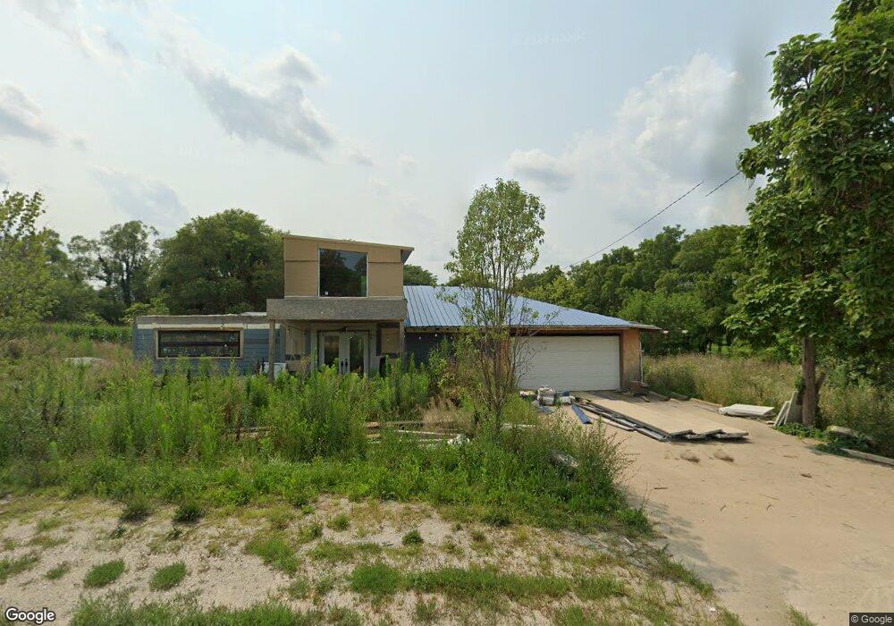
5568 R57 Hwy Norwalk, IA 50211
Warren County NeighborhoodEstimated Value: $172,000 - $262,000
2
Beds
1
Bath
1,044
Sq Ft
$203/Sq Ft
Est. Value
About This Home
This home is located at 5568 R57 Hwy, Norwalk, IA 50211 and is currently estimated at $212,306, approximately $203 per square foot. 5568 R57 Hwy is a home located in Warren County with nearby schools including Oviatt Elementary School, Orchard Hills Elementary School, and Lakewood Elementary School.
Ownership History
Date
Name
Owned For
Owner Type
Purchase Details
Closed on
Apr 29, 2020
Sold by
Mrl Enterprises Llc
Bought by
Delgado Heriberto and Arriaga Lucia Robin
Current Estimated Value
Purchase Details
Closed on
Mar 11, 2020
Sold by
Federal Home Loan Mortgage Corporation
Bought by
Mrl Enterprises Llc
Purchase Details
Closed on
Jan 23, 2020
Sold by
Renner Leslie A
Bought by
Federal Home Loan Mortgage Corporation
Purchase Details
Closed on
Jan 17, 2006
Sold by
Matera Leslie A and Renner Leslie A
Bought by
Renner Leslie A
Create a Home Valuation Report for This Property
The Home Valuation Report is an in-depth analysis detailing your home's value as well as a comparison with similar homes in the area
Home Values in the Area
Average Home Value in this Area
Purchase History
| Date | Buyer | Sale Price | Title Company |
|---|---|---|---|
| Delgado Heriberto | -- | None Available | |
| Mrl Enterprises Llc | $83,500 | Servicelink Llc | |
| Federal Home Loan Mortgage Corporation | -- | None Available | |
| Renner Leslie A | -- | None Available |
Source: Public Records
Tax History Compared to Growth
Tax History
| Year | Tax Paid | Tax Assessment Tax Assessment Total Assessment is a certain percentage of the fair market value that is determined by local assessors to be the total taxable value of land and additions on the property. | Land | Improvement |
|---|---|---|---|---|
| 2025 | $1,680 | $92,800 | $47,300 | $45,500 |
| 2024 | $1,694 | $125,500 | $48,200 | $77,300 |
| 2023 | $1,748 | $125,500 | $48,200 | $77,300 |
| 2022 | $1,736 | $113,100 | $47,200 | $65,900 |
| 2021 | $1,802 | $113,100 | $47,200 | $65,900 |
| 2020 | $1,802 | $108,400 | $47,200 | $61,200 |
| 2019 | $1,608 | $108,400 | $47,200 | $61,200 |
| 2018 | $1,638 | $0 | $0 | $0 |
| 2017 | $1,620 | $0 | $0 | $0 |
| 2016 | $1,602 | $90,700 | $0 | $0 |
| 2015 | $1,602 | $0 | $0 | $0 |
| 2014 | $1,608 | $90,900 | $0 | $0 |
Source: Public Records
Map
Nearby Homes
- 5379 94th Ln
- 6480 64th Ln
- 5981 Highway 28
- 0000 Delaware and Sunset Dr Dr
- 333 Cormorant Dr
- 337 Cormorant Dr
- 341 Cormorant Dr
- 345 Cormorant Dr
- 6245 61st Ln
- 400 Quetzal Dr
- 5698 61st Ln
- 400 Kingfisher Dr
- 401 Kingfisher Dr
- 7291 70th Ave
- 403 Quetzal Dr
- Harmony Plan at Brody's Landing
- Woodcrest (Singe Family) Plan at Brody's Landing
- 504 Quetzal Dr
- Wayne Plan at Brody's Landing
- Caldwell Plan at Brody's Landing