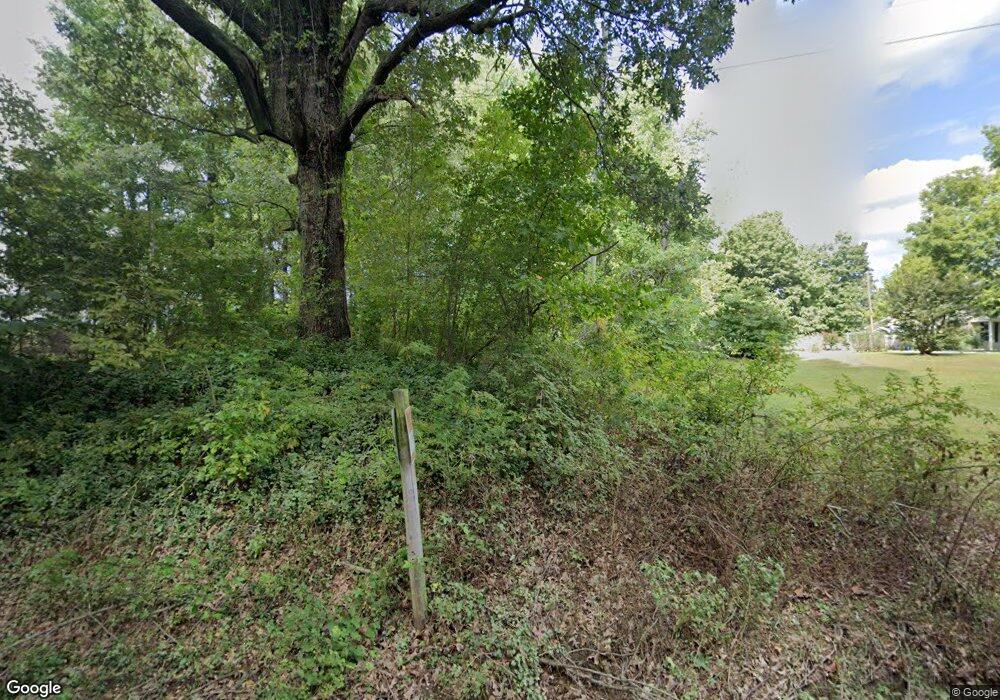
5569 Mount Olive Rd Union City, TN 38261
Estimated Value: $291,000 - $745,529
--
Bed
2
Baths
1,872
Sq Ft
$277/Sq Ft
Est. Value
About This Home
This home is located at 5569 Mount Olive Rd, Union City, TN 38261 and is currently estimated at $518,265, approximately $276 per square foot. 5569 Mount Olive Rd is a home located in Obion County.
Ownership History
Date
Name
Owned For
Owner Type
Purchase Details
Closed on
Oct 20, 2003
Bought by
Hutchison George Edward and Hutchison Jane Anita
Current Estimated Value
Purchase Details
Closed on
Oct 23, 1998
Bought by
Hutchison George Edward and Hutchison Jane Anita
Purchase Details
Closed on
Jul 16, 1990
Purchase Details
Closed on
Nov 3, 1975
Bought by
Hutchison George Edward and Jane Anit
Purchase Details
Closed on
Oct 21, 1950
Purchase Details
Closed on
Jan 1, 1950
Create a Home Valuation Report for This Property
The Home Valuation Report is an in-depth analysis detailing your home's value as well as a comparison with similar homes in the area
Home Values in the Area
Average Home Value in this Area
Purchase History
| Date | Buyer | Sale Price | Title Company |
|---|---|---|---|
| Hutchison George Edward | -- | -- | |
| Hutchison George Edward | $2,000 | -- | |
| -- | $15,800 | -- | |
| Hutchison George Edward | $58,100 | -- | |
| -- | -- | -- | |
| -- | -- | -- |
Source: Public Records
Tax History Compared to Growth
Tax History
| Year | Tax Paid | Tax Assessment Tax Assessment Total Assessment is a certain percentage of the fair market value that is determined by local assessors to be the total taxable value of land and additions on the property. | Land | Improvement |
|---|---|---|---|---|
| 2025 | $1,509 | $109,325 | $0 | $0 |
| 2024 | $1,509 | $109,325 | $73,450 | $35,875 |
| 2023 | $1,509 | $109,325 | $73,450 | $35,875 |
| 2022 | $1,502 | $79,075 | $64,525 | $14,550 |
| 2021 | $1,502 | $79,075 | $64,525 | $14,550 |
| 2020 | $1,502 | $79,075 | $64,525 | $14,550 |
| 2019 | $1,502 | $79,075 | $64,525 | $14,550 |
| 2018 | $1,507 | $79,075 | $64,525 | $14,550 |
| 2017 | $1,294 | $64,575 | $50,625 | $13,950 |
| 2016 | $1,294 | $64,575 | $50,625 | $13,950 |
| 2015 | $1,294 | $64,575 | $50,625 | $13,950 |
| 2014 | $1,294 | $64,575 | $50,625 | $13,950 |
Source: Public Records
Map
Nearby Homes
- Tract 1 Walter Whipple Rd
- 4744 N Clayton Antioch Rd
- 4478 Crystal Rd
- 3272 St Rt 925
- 5030 Rogers Marshall Rd
- 1559 Ella Groom Rd
- 560 Todd Thomas Rd
- 0 Denson Rd
- 0 Burrus Rd
- 317 W Highway 22
- 72 W Highway 22
- 1127 W Shawtown Rd
- 2310 S 7th St
- 105 Cherry Laurel Ln
- 2011 Myron Cory Dr
- 3694 Pete Gray Rd
- 1535 Lattus Ln
- 1405 Myron Cory Dr
- 3105 Rock Springs Extended Rd
- 370 S Thompson St
