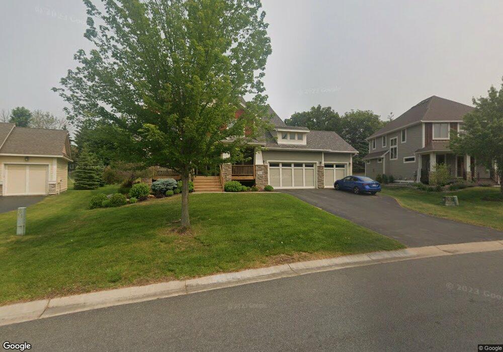
557 Spruce St Saint Paul, MN 55123
Estimated Value: $733,000 - $819,000
5
Beds
4
Baths
3,044
Sq Ft
$256/Sq Ft
Est. Value
About This Home
This home is located at 557 Spruce St, Saint Paul, MN 55123 and is currently estimated at $779,756, approximately $256 per square foot. 557 Spruce St is a home located in Dakota County with nearby schools including Red Pine Elementary School, Dakota Hills Middle School, and Eagan Senior High School.
Ownership History
Date
Name
Owned For
Owner Type
Purchase Details
Closed on
Jun 30, 2008
Sold by
Manley Kevin and Manley Janet Lynn
Bought by
Tschetter Jay and Tschetter Vanessa
Current Estimated Value
Home Financials for this Owner
Home Financials are based on the most recent Mortgage that was taken out on this home.
Original Mortgage
$384,000
Outstanding Balance
$251,346
Interest Rate
6.36%
Mortgage Type
New Conventional
Estimated Equity
$528,410
Purchase Details
Closed on
Jan 3, 2008
Sold by
Spruce Coylin Llc
Bought by
Manley Kevin and Manley Kurtis
Purchase Details
Closed on
Mar 14, 2006
Sold by
Manley Brothers Construction Inc
Bought by
Fleischmann Holdings Llc
Home Financials for this Owner
Home Financials are based on the most recent Mortgage that was taken out on this home.
Original Mortgage
$546,000
Interest Rate
6.33%
Mortgage Type
Purchase Money Mortgage
Create a Home Valuation Report for This Property
The Home Valuation Report is an in-depth analysis detailing your home's value as well as a comparison with similar homes in the area
Home Values in the Area
Average Home Value in this Area
Purchase History
| Date | Buyer | Sale Price | Title Company |
|---|---|---|---|
| Tschetter Jay | $493,508 | -- | |
| Manley Kevin | $140,000 | -- | |
| Fleischmann Holdings Llc | $134,900 | -- |
Source: Public Records
Mortgage History
| Date | Status | Borrower | Loan Amount |
|---|---|---|---|
| Open | Tschetter Jay | $384,000 | |
| Previous Owner | Fleischmann Holdings Llc | $546,000 |
Source: Public Records
Tax History Compared to Growth
Tax History
| Year | Tax Paid | Tax Assessment Tax Assessment Total Assessment is a certain percentage of the fair market value that is determined by local assessors to be the total taxable value of land and additions on the property. | Land | Improvement |
|---|---|---|---|---|
| 2024 | $8,024 | $695,300 | $186,800 | $508,500 |
| 2023 | $8,024 | $702,300 | $187,400 | $514,900 |
| 2022 | $6,766 | $655,900 | $186,900 | $469,000 |
| 2021 | $6,826 | $586,200 | $162,600 | $423,600 |
| 2020 | $7,082 | $578,300 | $154,800 | $423,500 |
| 2019 | $6,706 | $583,400 | $147,400 | $436,000 |
| 2018 | $5,966 | $581,000 | $140,400 | $440,600 |
| 2017 | $6,023 | $511,000 | $133,800 | $377,200 |
| 2016 | $6,140 | $493,600 | $127,400 | $366,200 |
| 2015 | $6,038 | $498,800 | $127,400 | $371,400 |
| 2014 | -- | $498,800 | $123,900 | $374,900 |
| 2013 | -- | $442,500 | $112,400 | $330,100 |
Source: Public Records
Map
Nearby Homes
- 4902 Brooklyn Ln
- 4868 Avery Ct
- 4921 Avery Ct
- 4837 Avery Ct
- 625 Remington Ct
- 11735 Azure Cir
- 11668 Azure Ct
- 4829 Redpoll Ct
- 11732 Azure Cir
- 11700 Azure Ln
- 635 Parkside Ct
- 636 Parkside Ct
- 11784 Azure Ln
- 11798 Azure Ln
- 4928 Parkside Cir
- 4955 Parkside Cir
- 4927 Parkside Cir
- 4938 Parkside Cir
- 4944 Parkside Cir
- 4950 Parkside Cir