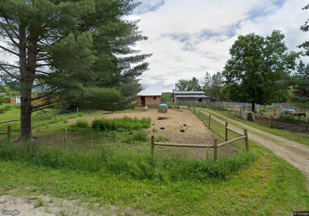
557 W Salisbury Rd Salisbury, NH 03268
Estimated Value: $351,000 - $404,000
3
Beds
1
Bath
1,483
Sq Ft
$257/Sq Ft
Est. Value
About This Home
This home is located at 557 W Salisbury Rd, Salisbury, NH 03268 and is currently estimated at $381,433, approximately $257 per square foot. 557 W Salisbury Rd is a home located in Merrimack County with nearby schools including Salisbury Elementary School, Merrimack Valley Middle School, and Merrimack Valley High School.
Ownership History
Date
Name
Owned For
Owner Type
Purchase Details
Closed on
May 9, 2017
Sold by
Mason Matthew and Sula Jennifer
Bought by
Propertie Grazing Goat
Current Estimated Value
Purchase Details
Closed on
Nov 25, 1998
Sold by
Brundrett Sue
Bought by
Mason Matthew C
Home Financials for this Owner
Home Financials are based on the most recent Mortgage that was taken out on this home.
Original Mortgage
$87,400
Interest Rate
6.83%
Create a Home Valuation Report for This Property
The Home Valuation Report is an in-depth analysis detailing your home's value as well as a comparison with similar homes in the area
Home Values in the Area
Average Home Value in this Area
Purchase History
| Date | Buyer | Sale Price | Title Company |
|---|---|---|---|
| Propertie Grazing Goat | -- | -- | |
| Mason Matthew C | $92,000 | -- |
Source: Public Records
Mortgage History
| Date | Status | Borrower | Loan Amount |
|---|---|---|---|
| Previous Owner | Mason Matthew C | $180,445 | |
| Previous Owner | Mason Matthew C | $87,400 |
Source: Public Records
Tax History Compared to Growth
Tax History
| Year | Tax Paid | Tax Assessment Tax Assessment Total Assessment is a certain percentage of the fair market value that is determined by local assessors to be the total taxable value of land and additions on the property. | Land | Improvement |
|---|---|---|---|---|
| 2024 | $4,951 | $305,400 | $83,600 | $221,800 |
| 2023 | $4,959 | $306,100 | $83,600 | $222,500 |
| 2022 | $4,885 | $306,100 | $83,600 | $222,500 |
| 2021 | $4,282 | $180,300 | $46,100 | $134,200 |
| 2020 | $4,435 | $180,300 | $46,100 | $134,200 |
| 2019 | $4,172 | $180,300 | $46,100 | $134,200 |
| 2018 | $4,194 | $180,300 | $46,100 | $134,200 |
| 2017 | $4,289 | $178,700 | $46,100 | $132,600 |
| 2016 | $3,682 | $149,900 | $40,300 | $109,600 |
| 2015 | $3,632 | $149,900 | $40,300 | $109,600 |
| 2014 | $3,493 | $149,900 | $40,300 | $109,600 |
| 2012 | $3,623 | $150,000 | $40,300 | $109,700 |
Source: Public Records
Map
Nearby Homes
- 516 W Salisbury Rd
- 0 Beech Hill Rd Unit 370 5046361
- 192 Beech Hill Rd
- 151 Beech Hill Rd
- 97 Salisbury Hwy
- 2 Monticello Dr
- 233 Hensmith Rd
- 32 Monticello Dr
- 106 Lead Mine Rd
- 19 Ives
- 0 Putney Rd Unit 433
- 131 Flaghole Rd
- 54 Franklin Rd
- 428 North Rd
- 428 N Rd
- Lot 02 Franklin Hwy
- 18 Cilleyville Rd
- 32 Clubhouse Rd
- 0 Howe Rd Unit 4996459
- 32 Maple St
- 543 W Salisbury Rd
- 543 W Salisbury Rd
- 605 W Salisbury Rd
- 535 W Salisbury Rd
- 1 W Salisbury Rd
- 459 W Salisbury Rd
- 611 W Salisbury Rd
- 507 W Salisbury Rd
- 13 Mountain Rd
- 453 W Salisbury Rd
- 65 Mountain Rd
- 26 Dunlap Rd
- 19 Main St
- 22 Dunlap Rd
- 61 Plains Rd
- 6 Dunlap Rd
- 400 W Salisbury Rd
- 5 Dunlap Rd
- 325 W Salisbury Rd
- 378 W Salisbury Rd