Estimated Value: $295,000 - $703,000
3
Beds
2
Baths
1,343
Sq Ft
$417/Sq Ft
Est. Value
About This Home
This home is located at 5570 N Highway 1 N, Cocoa, FL 32927 and is currently estimated at $559,757, approximately $416 per square foot. 5570 N Highway 1 N is a home located in Brevard County with nearby schools including Fairglen Elementary School, Cocoa High School, and East Atlantic Prep of Brevard County.
Ownership History
Date
Name
Owned For
Owner Type
Purchase Details
Closed on
Apr 14, 2022
Sold by
Terrence Victoria Jeffrey
Bought by
Johnson Angela Christine
Current Estimated Value
Home Financials for this Owner
Home Financials are based on the most recent Mortgage that was taken out on this home.
Original Mortgage
$432,250
Outstanding Balance
$400,896
Interest Rate
3.76%
Mortgage Type
New Conventional
Estimated Equity
$158,861
Purchase Details
Closed on
Apr 1, 2016
Bought by
Victoria Audrean
Purchase Details
Closed on
Feb 27, 2004
Sold by
Cantori Richard and Cantori Josephine
Bought by
Victoria George and Victoria Audrean
Home Financials for this Owner
Home Financials are based on the most recent Mortgage that was taken out on this home.
Original Mortgage
$230,000
Interest Rate
5.68%
Mortgage Type
Purchase Money Mortgage
Purchase Details
Closed on
Apr 15, 2002
Sold by
Brown Christine Gordon and Johnson Arlene D
Bought by
Cantori Richard and Cantori Josephine
Home Financials for this Owner
Home Financials are based on the most recent Mortgage that was taken out on this home.
Original Mortgage
$188,000
Interest Rate
6.89%
Create a Home Valuation Report for This Property
The Home Valuation Report is an in-depth analysis detailing your home's value as well as a comparison with similar homes in the area
Home Values in the Area
Average Home Value in this Area
Purchase History
| Date | Buyer | Sale Price | Title Company |
|---|---|---|---|
| Johnson Angela Christine | $665,000 | Dockside Title | |
| Victoria Audrean | -- | -- | |
| Victoria George | $310,000 | Fidelity National Title Insu | |
| Cantori Richard | $235,000 | -- |
Source: Public Records
Mortgage History
| Date | Status | Borrower | Loan Amount |
|---|---|---|---|
| Open | Johnson Angela Christine | $432,250 | |
| Previous Owner | Victoria George | $230,000 | |
| Previous Owner | Cantori Richard | $188,000 |
Source: Public Records
Tax History
| Year | Tax Paid | Tax Assessment Tax Assessment Total Assessment is a certain percentage of the fair market value that is determined by local assessors to be the total taxable value of land and additions on the property. | Land | Improvement |
|---|---|---|---|---|
| 2025 | $7,131 | $526,960 | -- | -- |
| 2024 | $7,404 | $529,040 | -- | -- |
| 2023 | $7,404 | $538,200 | $351,000 | $187,200 |
| 2022 | $6,928 | $517,820 | $0 | $0 |
| 2021 | $463 | $265,400 | $0 | $0 |
| 2020 | $425 | $261,740 | $0 | $0 |
| 2019 | $369 | $255,860 | $0 | $0 |
| 2018 | $364 | $251,090 | $0 | $0 |
| 2017 | $355 | $245,930 | $0 | $0 |
| 2016 | $349 | $240,880 | $194,400 | $46,480 |
| 2015 | $337 | $239,210 | $194,400 | $44,810 |
| 2014 | $337 | $237,320 | $194,400 | $42,920 |
Source: Public Records
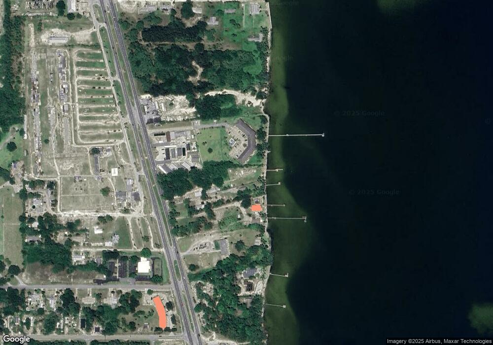
Map
Nearby Homes
- 5660 N Highway 1
- 5400 Edgewater Ct
- 100 Canebreakers Dr Unit 208
- 326 Iris St
- 328 Spring St
- 313 Ronald St
- 350 Akorn St
- 354 Akorn St
- 5350 Monroe Ave
- 399 Broadway Blvd
- 5815 Industrial Dr
- 6340 U S Route 1
- 6340 N Highway 1
- 468 Watermark Dr
- 478 Watermark Dr
- 488 Watermark Dr
- 508 Watermark Dr
- 528 Watermark Dr
- 1164 Aron St
- 1131 Covina St
- 5570 N Highway 1
- 215 Mahi Mahi Ln
- 5530 N Highway 1 Unit A
- 5530 N Highway 1 Unit B
- 215 Mahi Mahi Ln
- 5530 N Highway 1
- 5550 N Highway 1
- 219 Red Fish Ln
- 5540 N Highway 1
- 100 Canebreakers Dr
- 100 Canebreakers Dr Unit 105
- 100 Canebreakers Dr Unit 201
- 100 Canebreakers Dr Unit 203
- 100 Canebreakers Dr Unit 109
- 100 Canebreakers Dr Unit 206
- 100 Canebreakers Dr Unit 210
- 100 Canebreakers Dr Unit 101
- 100 Canebreakers Dr Unit 112
- 100 Canebreakers Dr Unit 212
- 100 Canebreakers Dr Unit 204
Your Personal Tour Guide
Ask me questions while you tour the home.