5571 Durrell Rd Columbus, OH 43229
Forest Park East NeighborhoodEstimated Value: $243,209 - $276,000
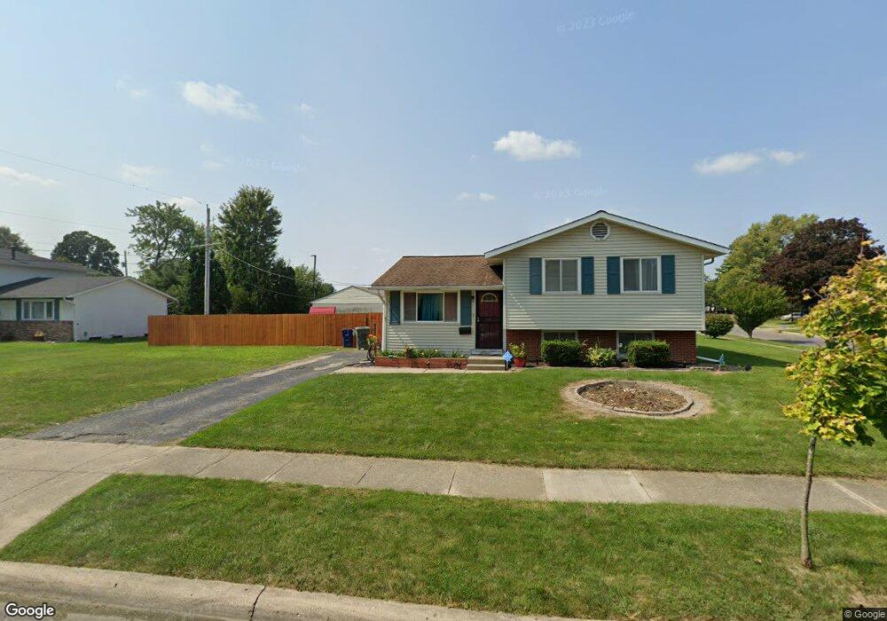
About This Home
This home is located at 5571 Durrell Rd, Columbus, OH 43229 and is currently estimated at $260,302, approximately $212 per square foot. 5571 Durrell Rd is a home located in Franklin County with nearby schools including Forest Park Elementary School, Woodward Park Middle School, and Northland High School.
Ownership History
We collect this data history from publicly available records. To have your information removed, we recommend requesting removal directly through your county’s website.
Purchase Details
Home Financials for this Owner
Home Financials are based on the most recent Mortgage that was taken out on this home.Purchase Details
Home Financials for this Owner
Home Financials are based on the most recent Mortgage that was taken out on this home.Purchase Details
Home Values in the Area
Average Home Value in this Area
Purchase History
We collect this data history from publicly available records. To have your information removed, we recommend requesting removal directly through your county’s website.
| Date | Buyer | Sale Price | Title Company |
|---|---|---|---|
| $105,000 | Attorney | ||
| $96,900 | Title First Agency Inc | ||
| -- | -- |
Mortgage History
We collect this data history from publicly available records. To have your information removed, we recommend requesting removal directly through your county’s website.
| Date | Status | Borrower | Loan Amount |
|---|---|---|---|
| Open | $103,098 | ||
| Previous Owner | $87,200 |
Tax History
We collect this data history from publicly available records. To have your information removed, we recommend requesting removal directly through your county’s website.
| Year | Tax Paid | Tax Assessment Tax Assessment Total Assessment is a certain percentage of the fair market value that is determined by local assessors to be the total taxable value of land and additions on the property. | Land | Improvement |
|---|---|---|---|---|
| 2025 | $2,953 | $65,800 | $21,140 | $44,660 |
| 2024 | $2,953 | $65,800 | $21,140 | $44,660 |
| 2023 | $2,915 | $65,800 | $21,140 | $44,660 |
| 2022 | $2,618 | $50,470 | $16,380 | $34,090 |
| 2021 | $2,622 | $50,470 | $16,380 | $34,090 |
| 2020 | $2,626 | $50,470 | $16,380 | $34,090 |
| 2019 | $2,476 | $37,670 | $12,150 | $25,520 |
| 2018 | $2,233 | $37,670 | $12,150 | $25,520 |
| 2017 | $2,475 | $37,670 | $12,150 | $25,520 |
| 2016 | $2,178 | $30,000 | $9,700 | $20,300 |
| 2015 | $1,995 | $30,000 | $9,700 | $20,300 |
| 2014 | $1,808 | $30,000 | $9,700 | $20,300 |
| 2013 | $939 | $31,570 | $10,220 | $21,350 |
Map
- 5480 Cedarbush Rd
- 5588 Tamarack Blvd
- 5720 Beechcroft Rd Unit B
- 2093 Tupsfield Rd
- 1862 Torchwood Dr
- 2127 Shawbury Ct E
- 5330 Torchwood Loop W
- 5371 Aqua St
- 5446 Blue Ash Rd
- 2227 Lilacwood Ave
- 5885 Beechcroft Rd Unit 306
- 5885 Beechcroft Rd Unit 302
- 5564 Parkshire Dr
- 5970 Sharon Woods Blvd Unit 200
- 5970 Sharon Woods Blvd Unit 203
- 5970 Sharon Woods 100 Bl Blvd Unit 100
- 2294 Teakwood Dr
- 1523 Hempwood Dr
- 1638 Arrowood Loop N
- 2166 Blackoak Ave
- 1951 Brookfield Rd
- 5561 Durrell Rd
- 5551 Durrell Rd
- 1950 Brookfield Rd
- 1958 Brookfield Rd
- 1942 Brookfield Rd
- 1966 Brookfield Rd
- 5543 Durrell Rd
- 5574 Durrell Rd
- 5568 Durrell Rd
- 5610 Beechcroft Rd
- 1974 Brookfield Rd
- 1978 Sumac Dr
- 1982 Brookfield Rd
- 5533 Durrell Rd
- 1961 Brimfield Ct
- 1988 Sumac Dr
- 1967 Brimfield Ct
- 1953 Brimfield Ct
- 1913 Brookfield Rd
Ask me questions while you tour the home.