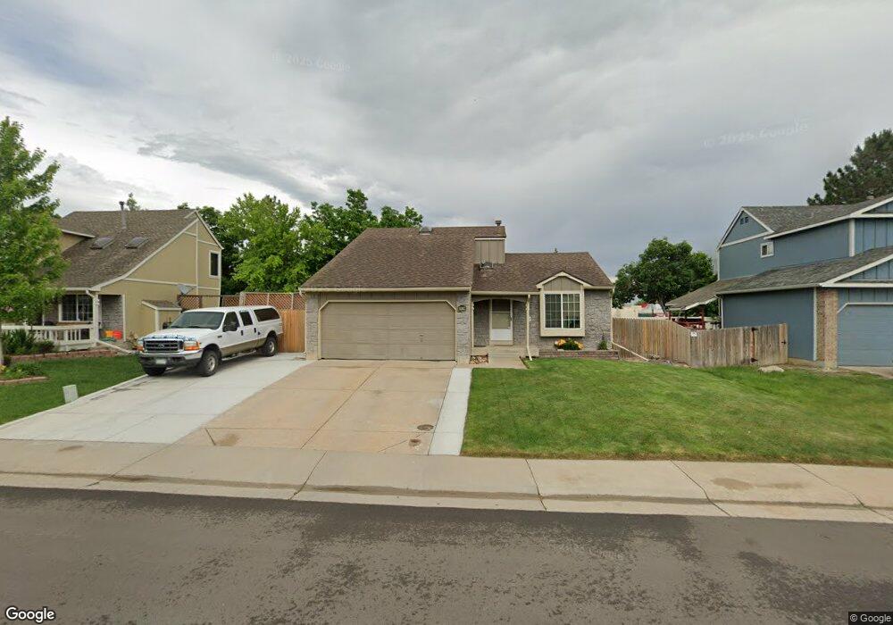
5576 S Simms Way Littleton, CO 80127
Westgold Meadows NeighborhoodEstimated Value: $526,588 - $586,000
3
Beds
2
Baths
1,862
Sq Ft
$302/Sq Ft
Est. Value
About This Home
This home is located at 5576 S Simms Way, Littleton, CO 80127 and is currently estimated at $561,397, approximately $301 per square foot. 5576 S Simms Way is a home located in Jefferson County with nearby schools including Mount Carbon Elementary School, Summit Ridge Middle School, and Dakota Ridge Senior High School.
Ownership History
Date
Name
Owned For
Owner Type
Purchase Details
Closed on
Aug 13, 2010
Sold by
Abel Linda C
Bought by
Hill Chris L and Hill Leo L
Current Estimated Value
Home Financials for this Owner
Home Financials are based on the most recent Mortgage that was taken out on this home.
Original Mortgage
$172,000
Outstanding Balance
$113,708
Interest Rate
4.54%
Mortgage Type
New Conventional
Estimated Equity
$447,689
Create a Home Valuation Report for This Property
The Home Valuation Report is an in-depth analysis detailing your home's value as well as a comparison with similar homes in the area
Home Values in the Area
Average Home Value in this Area
Purchase History
| Date | Buyer | Sale Price | Title Company |
|---|---|---|---|
| Hill Chris L | $215,000 | First American |
Source: Public Records
Mortgage History
| Date | Status | Borrower | Loan Amount |
|---|---|---|---|
| Open | Hill Chris L | $172,000 |
Source: Public Records
Tax History Compared to Growth
Tax History
| Year | Tax Paid | Tax Assessment Tax Assessment Total Assessment is a certain percentage of the fair market value that is determined by local assessors to be the total taxable value of land and additions on the property. | Land | Improvement |
|---|---|---|---|---|
| 2024 | $2,817 | $28,767 | $9,186 | $19,581 |
| 2023 | $2,817 | $28,767 | $9,186 | $19,581 |
| 2022 | $2,501 | $24,576 | $7,273 | $17,303 |
| 2021 | $2,530 | $25,283 | $7,483 | $17,800 |
| 2020 | $2,435 | $24,397 | $5,665 | $18,732 |
| 2019 | $2,410 | $24,397 | $5,665 | $18,732 |
| 2018 | $2,159 | $21,129 | $6,060 | $15,069 |
| 2017 | $1,972 | $21,129 | $6,060 | $15,069 |
| 2016 | $1,927 | $19,913 | $7,074 | $12,839 |
| 2015 | $1,615 | $19,913 | $7,074 | $12,839 |
| 2014 | $1,615 | $15,639 | $5,570 | $10,069 |
Source: Public Records
Map
Nearby Homes
- 11962 W Long Cir Unit 103
- 11972 W Long Cir Unit 104
- 11963 W Long Cir Unit 101
- 5667 S Urban St Unit 304
- 12233 W Cross Dr Unit 307
- 12158 W Dorado Place Unit 205
- 5813 S Taft Way
- 12208 W Dorado Place Unit 306
- 11152 W Crestline Dr
- 12254 W Arlington Ave
- 12288 W Dorado Place Unit 301
- 12304 W Cross Dr Unit 304
- 5657 S Oak St
- 5790 S Parfet St
- 11278 W Progress Ave
- 11166 W Bowles Place
- 11977 W Bowles Cir
- 10815 W Alamo Place
- 11126 W Bowles Place
- 5903 S Ward St
- 5566 S Simms Way
- 5586 S Simms Way
- 5556 S Simms Way
- 5596 S Simms Way
- 5579 S Simms Way
- 5546 S Simms Way
- 5606 S Simms Way
- 5607 S Simms Way
- 11683 W Powers Ave
- 5536 S Simms Way
- 11692 W Brandt Ave
- 11564 W Berry Place
- 5616 S Simms Way
- 11583 W Berry Place
- 11681 W Brandt Ave
- 5617 S Simms Way
- 11713 W Powers Ave
- 5526 S Simms Way
- 11722 W Brandt Ave
- 11691 W Brandt Ave