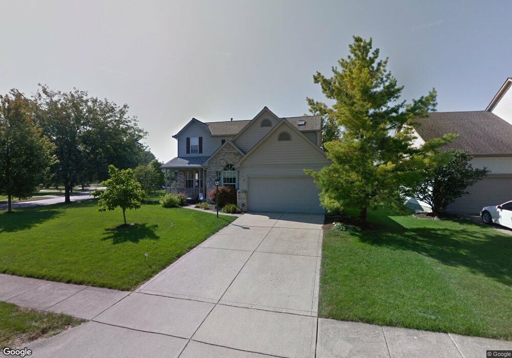
5579 Chapman Ct Hilliard, OH 43026
Cross Creek NeighborhoodEstimated Value: $469,268 - $492,000
4
Beds
3
Baths
2,400
Sq Ft
$200/Sq Ft
Est. Value
About This Home
This home is located at 5579 Chapman Ct, Hilliard, OH 43026 and is currently estimated at $480,317, approximately $200 per square foot. 5579 Chapman Ct is a home located in Franklin County with nearby schools including Hilliard Station Sixth Grade Elementary School, Hilliard Heritage Middle School, and Hilliard Darby High School.
Ownership History
Date
Name
Owned For
Owner Type
Purchase Details
Closed on
Dec 10, 1998
Sold by
Grover David L and Grover Susan K
Bought by
Mcghee Michael W and Mcghee Mary E
Current Estimated Value
Home Financials for this Owner
Home Financials are based on the most recent Mortgage that was taken out on this home.
Original Mortgage
$160,200
Outstanding Balance
$37,144
Interest Rate
7.02%
Estimated Equity
$443,173
Purchase Details
Closed on
Jan 4, 1993
Bought by
Grover David L and Grover Susan K
Purchase Details
Closed on
Sep 3, 1992
Create a Home Valuation Report for This Property
The Home Valuation Report is an in-depth analysis detailing your home's value as well as a comparison with similar homes in the area
Home Values in the Area
Average Home Value in this Area
Purchase History
| Date | Buyer | Sale Price | Title Company |
|---|---|---|---|
| Mcghee Michael W | $189,000 | -- | |
| Grover David L | $146,600 | -- | |
| -- | $202,500 | -- |
Source: Public Records
Mortgage History
| Date | Status | Borrower | Loan Amount |
|---|---|---|---|
| Open | Mcghee Michael W | $160,200 |
Source: Public Records
Tax History Compared to Growth
Tax History
| Year | Tax Paid | Tax Assessment Tax Assessment Total Assessment is a certain percentage of the fair market value that is determined by local assessors to be the total taxable value of land and additions on the property. | Land | Improvement |
|---|---|---|---|---|
| 2024 | $9,349 | $139,580 | $38,500 | $101,080 |
| 2023 | $7,613 | $139,580 | $38,500 | $101,080 |
| 2022 | $6,973 | $101,750 | $17,500 | $84,250 |
| 2021 | $6,969 | $101,750 | $17,500 | $84,250 |
| 2020 | $6,951 | $101,750 | $17,500 | $84,250 |
| 2019 | $6,529 | $81,340 | $14,000 | $67,340 |
| 2018 | $6,264 | $81,340 | $14,000 | $67,340 |
| 2017 | $6,505 | $81,340 | $14,000 | $67,340 |
| 2016 | $6,377 | $73,820 | $14,530 | $59,290 |
| 2015 | $6,023 | $73,820 | $14,530 | $59,290 |
| 2014 | $6,033 | $73,820 | $14,530 | $59,290 |
| 2013 | $2,915 | $70,280 | $13,825 | $56,455 |
Source: Public Records
Map
Nearby Homes
- 2886 Wynneleaf St
- 2880 Wynneleaf St
- 5644 Newington Dr
- 5686 Moonpenny Ln
- 3127 Stouenburgh Dr
- 5341 Hyde Park Dr
- 5414 Bonner Ct
- 5851 Dena Dr
- 2755 Rustling Oak Blvd
- 5488 Whispering Oak Blvd
- 5459 Red Wynne Ln
- 5606 Oldwynne Rd
- 5285 Redlands Dr
- 2657 Amberwick Place
- 5222 Bonner Dr
- 5213 Frisco Dr
- 5293 Williamsburg Cir
- 5208 Springdale Blvd
- 5605 Brickstone Place Unit 75605
- 2657 Village Pier Ln Unit 2657
- 5591 Chapman Ct
- 3075 Bohlen Dr
- 5602 Newland Ct
- 5601 Chapman Ct
- 3088 Bohlen Dr
- 5578 Chapman Ct
- 3065 Bohlen Dr
- 5598 Newland Ct
- 5586 Chapman Ct
- 3074 Bohlen Dr
- 5598 Chapman Ct
- 5615 Chapman Ct
- 5609 Chapman Ct
- 5612 Newland Ct
- 3055 Bohlen Dr
- 3108 Bohlen Dr
- 5606 Chapman Ct
- 3062 Bohlen Dr
- 3077 Bennison Ct
- 5601 Newland Ct