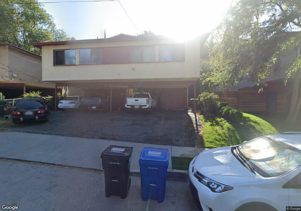
558 Oleander Dr Los Angeles, CA 90042
Estimated Value: $1,028,000 - $1,449,442
4
Beds
2
Baths
1,840
Sq Ft
$676/Sq Ft
Est. Value
About This Home
This home is located at 558 Oleander Dr, Los Angeles, CA 90042 and is currently estimated at $1,244,111, approximately $676 per square foot. 558 Oleander Dr is a home located in Los Angeles County with nearby schools including Annandale Elementary, Luther Burbank Middle School, and Eagle Rock High School.
Ownership History
Date
Name
Owned For
Owner Type
Purchase Details
Closed on
Feb 27, 2014
Sold by
Plascencia Jose and Plascencia Irma
Bought by
The Plascencia Family Trust
Current Estimated Value
Purchase Details
Closed on
Dec 5, 1995
Sold by
Federal National Mortgage Association
Bought by
Plasencia Jose and Plasencia Irma
Home Financials for this Owner
Home Financials are based on the most recent Mortgage that was taken out on this home.
Original Mortgage
$109,650
Outstanding Balance
$2,243
Interest Rate
7.37%
Mortgage Type
Seller Take Back
Estimated Equity
$1,241,868
Purchase Details
Closed on
Mar 17, 1995
Sold by
Ong Pedro and Totaan Evelyn R
Bought by
Federal National Mortgage Association
Create a Home Valuation Report for This Property
The Home Valuation Report is an in-depth analysis detailing your home's value as well as a comparison with similar homes in the area
Home Values in the Area
Average Home Value in this Area
Purchase History
| Date | Buyer | Sale Price | Title Company |
|---|---|---|---|
| The Plascencia Family Trust | -- | None Available | |
| Plasencia Jose | $129,000 | American Coast Title | |
| Federal National Mortgage Association | $189,000 | -- |
Source: Public Records
Mortgage History
| Date | Status | Borrower | Loan Amount |
|---|---|---|---|
| Open | Plasencia Jose | $109,650 |
Source: Public Records
Tax History Compared to Growth
Tax History
| Year | Tax Paid | Tax Assessment Tax Assessment Total Assessment is a certain percentage of the fair market value that is determined by local assessors to be the total taxable value of land and additions on the property. | Land | Improvement |
|---|---|---|---|---|
| 2025 | $3,232 | $249,159 | $166,113 | $83,046 |
| 2024 | $3,232 | $244,274 | $162,856 | $81,418 |
| 2023 | $3,174 | $239,485 | $159,663 | $79,822 |
| 2022 | $3,032 | $234,790 | $156,533 | $78,257 |
| 2021 | $2,986 | $230,187 | $153,464 | $76,723 |
| 2019 | $2,901 | $223,362 | $148,913 | $74,449 |
| 2018 | $2,843 | $218,984 | $145,994 | $72,990 |
| 2016 | $2,701 | $210,482 | $140,326 | $70,156 |
| 2015 | $2,664 | $207,322 | $138,219 | $69,103 |
| 2014 | $2,687 | $203,262 | $135,512 | $67,750 |
Source: Public Records
Map
Nearby Homes
- 523 Oleander Dr
- 1124 Highgrove Terrace
- 1465 Washburn Rd
- 6218 Saylin Ln
- 6150 Strickland Ave
- 6134 Strickland Ave
- 355 Kirby St
- 6849 N Figueroa St
- 6119 Strickland Ave
- 6048 Burwood Ave
- 6155 Poppy Peak Dr
- 6050 Burwood Ave
- 6225 Beard St
- 328 Vista Place
- 576 Neva Place
- 6149 Annan Way
- 560 Neva Place
- 935 N Staley Ln
- 1522 N Mercury Dr
- 1450 La Loma Rd
- 562 Oleander Dr
- 552 Oleander Dr
- 564 Oleander Dr
- 564 Oleander Dr Unit 564
- 554 Oleander Dr
- 552 Oleander Dr
- 600 Oleander Dr
- 548 Oleander Dr
- 550 Oleander Dr
- 555 Marie Ave
- 601 Marie Ave
- 608 Oleander Dr
- 549 Marie Ave
- 538 Oleander Dr
- 557 Oleander Dr
- 555 Oleander Dr
- 545 Marie Ave
- 553 Oleander Dr
- 613 Marie Ave
- 612 Oleander Dr