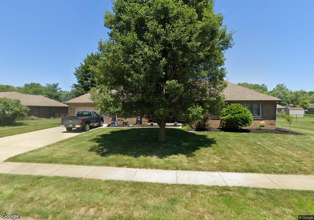
559 Summit Dr Plainfield, IN 46168
Estimated Value: $320,894 - $336,000
3
Beds
2
Baths
1,552
Sq Ft
$211/Sq Ft
Est. Value
About This Home
This home is located at 559 Summit Dr, Plainfield, IN 46168 and is currently estimated at $328,224, approximately $211 per square foot. 559 Summit Dr is a home located in Hendricks County with nearby schools including Central Elementary School, Plainfield Community Middle School, and Plainfield High School.
Ownership History
Date
Name
Owned For
Owner Type
Purchase Details
Closed on
Nov 3, 2017
Sold by
Hamock Robert L and Hamock Judy A
Bought by
Stockton Jessica A
Current Estimated Value
Purchase Details
Closed on
Jul 27, 2007
Sold by
Wertz Darlene A
Bought by
Hamock Robert L and Hamock Judy A
Home Financials for this Owner
Home Financials are based on the most recent Mortgage that was taken out on this home.
Original Mortgage
$57,000
Interest Rate
6.73%
Mortgage Type
New Conventional
Create a Home Valuation Report for This Property
The Home Valuation Report is an in-depth analysis detailing your home's value as well as a comparison with similar homes in the area
Home Values in the Area
Average Home Value in this Area
Purchase History
| Date | Buyer | Sale Price | Title Company |
|---|---|---|---|
| Stockton Jessica A | -- | -- | |
| Hamock Robert L | -- | None Available |
Source: Public Records
Mortgage History
| Date | Status | Borrower | Loan Amount |
|---|---|---|---|
| Previous Owner | Hamock Robert L | $57,000 |
Source: Public Records
Tax History
| Year | Tax Paid | Tax Assessment Tax Assessment Total Assessment is a certain percentage of the fair market value that is determined by local assessors to be the total taxable value of land and additions on the property. | Land | Improvement |
|---|---|---|---|---|
| 2025 | $2,374 | $260,800 | $47,200 | $213,600 |
| 2024 | $2,374 | $258,100 | $34,600 | $223,500 |
| 2023 | $2,272 | $251,400 | $32,900 | $218,500 |
| 2022 | $2,338 | $239,000 | $31,200 | $207,800 |
| 2021 | $1,995 | $207,600 | $29,200 | $178,400 |
| 2020 | $1,924 | $201,500 | $29,200 | $172,300 |
| 2019 | $1,733 | $188,200 | $26,900 | $161,300 |
| 2018 | $1,723 | $183,300 | $26,900 | $156,400 |
| 2017 | $1,719 | $176,800 | $26,100 | $150,700 |
| 2016 | $1,718 | $177,100 | $26,100 | $151,000 |
| 2014 | $1,508 | $158,000 | $24,000 | $134,000 |
Source: Public Records
Map
Nearby Homes
- 214 N Vine St
- 3284 S State Road 267
- 329 Avon Ave
- 1042 W Main St
- 4181 Baranga Dr
- 4538 Redcliff South Ln
- 0 Woodside Dr
- 2198 Galleone Way
- 7683 Fairwood Blvd
- 5942 Juna Ave
- 228 Shaw St
- 5910 Juna Ave
- 4157 Los Gatos Ave
- 5875 Farwell Ave
- 5891 Farwell Ave
- 980 Andico Rd
- 5733 Yorktown Rd
- 3610 Homestead Place
- 5581 E County Road 350 S
- 2720 Bo St W
- 549 Summit Dr
- 569 Summit Dr
- 560 Crestpoint Ln
- 550 Crestpoint Ln
- 554 Summit Dr
- 570 Crestpoint Ln
- 579 Summit Dr
- 529 Summit Dr
- 544 Summit Dr
- 564 Summit Dr
- 540 Crestpoint Ln
- 533 Summit Dr
- 574 Summit Dr
- 580 Crestpoint Ln
- 589 Summit Dr
- 565 Crestpoint Ln
- 519 Summit Dr
- 584 Summit Dr
- 523 Summit Dr
- 541 Windward Ln
Your Personal Tour Guide
Ask me questions while you tour the home.