Estimated Value: $292,000 - $322,000
3
Beds
2
Baths
1,413
Sq Ft
$214/Sq Ft
Est. Value
About This Home
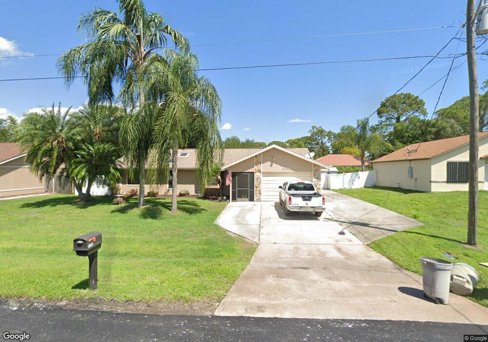
This home is located at 5590 Hemsing St, Cocoa, FL 32927 and is currently estimated at $302,729, approximately $214 per square foot. 5590 Hemsing St is a home located in Brevard County with nearby schools including Enterprise Elementary School, Space Coast Junior/Senior High School, and East Atlantic Prep of Brevard County.
Ownership History
Date
Name
Owned For
Owner Type
Purchase Details
Closed on
Sep 26, 2007
Sold by
Labrie Mark E
Bought by
Labrie Linda E
Current Estimated Value
Purchase Details
Closed on
Aug 4, 1994
Sold by
Hunter Linda E
Bought by
Labrie Linda E
Purchase Details
Closed on
Jul 30, 1993
Sold by
Foulker Dallas James and Foulker Diane L
Bought by
Hunter Linda Elaine
Home Financials for this Owner
Home Financials are based on the most recent Mortgage that was taken out on this home.
Original Mortgage
$67,413
Interest Rate
7.39%
Create a Home Valuation Report for This Property
The Home Valuation Report is an in-depth analysis detailing your home's value as well as a comparison with similar homes in the area
Home Values in the Area
Average Home Value in this Area
Purchase History
| Date | Buyer | Sale Price | Title Company |
|---|---|---|---|
| Labrie Linda E | -- | Attorney | |
| Labrie Linda E | -- | -- | |
| Hunter Linda Elaine | $67,000 | -- |
Source: Public Records
Mortgage History
| Date | Status | Borrower | Loan Amount |
|---|---|---|---|
| Previous Owner | Hunter Linda Elaine | $67,413 |
Source: Public Records
Tax History Compared to Growth
Tax History
| Year | Tax Paid | Tax Assessment Tax Assessment Total Assessment is a certain percentage of the fair market value that is determined by local assessors to be the total taxable value of land and additions on the property. | Land | Improvement |
|---|---|---|---|---|
| 2025 | $1,298 | $93,450 | -- | -- |
| 2024 | $1,262 | $90,820 | -- | -- |
| 2023 | $1,262 | $88,180 | $0 | $0 |
| 2022 | $1,175 | $85,620 | $0 | $0 |
| 2021 | $1,166 | $83,130 | $0 | $0 |
| 2020 | $1,101 | $81,990 | $0 | $0 |
| 2019 | $1,035 | $80,150 | $0 | $0 |
| 2018 | $1,025 | $78,660 | $0 | $0 |
| 2017 | $1,013 | $77,050 | $0 | $0 |
| 2016 | $1,009 | $75,470 | $18,000 | $57,470 |
| 2015 | $1,016 | $74,950 | $15,000 | $59,950 |
| 2014 | $1,021 | $74,360 | $11,000 | $63,360 |
Source: Public Records
Map
Nearby Homes
- 7065 Hundred Acre Dr
- 7230 Venus Ave
- TBD Freeport Rd
- 6760 Cairo Rd
- 5730 Friendly St
- 6615 Dock Ave
- 5165 Patricia St
- 7635 Fringe Place
- 5155 Mayflower St
- 6581 Bancroft Ave
- 6775 Buxton Ave
- 5130 Carter St
- 7358 Crepe Myrtle Ct
- 5575 Curtis Blvd
- 7368 Crepe Myrtle Ct
- 7545 Fringe Place
- 7469 Hackberry Rd
- 5200 Frisco St
- 4650 N Highway 1 Hwy
- 5170 Everett St
- 5580 Hemsing St
- 5600 Hemsing St
- 5595 Graham St
- 5605 Graham St
- 5585 Graham St
- 5570 Hemsing St
- 5610 Hemsing St
- 5595 Hemsing St
- 5585 Hemsing St
- 5605 Hemsing St
- 5575 Graham St
- 5615 Graham St
- 5620 Hemsing St
- 5615 Hemsing St
- 5625 Graham St
- 5565 Graham St
- 6990 Pluto Ave
- 5565 Hemsing St
- 5590 Brandon St
- 5590 Graham St