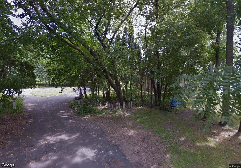
5590 Shore Rd Excelsior, MN 55331
Estimated Value: $2,386,000 - $4,325,000
4
Beds
4
Baths
5,033
Sq Ft
$693/Sq Ft
Est. Value
About This Home
This home is located at 5590 Shore Rd, Excelsior, MN 55331 and is currently estimated at $3,486,822, approximately $692 per square foot. 5590 Shore Rd is a home located in Hennepin County with nearby schools including Excelsior Elementary School, Minnetonka West Middle School, and Minnetonka Senior High School.
Ownership History
Date
Name
Owned For
Owner Type
Purchase Details
Closed on
Dec 7, 2020
Sold by
Friendly Carol P and Friendly Ian R
Bought by
Brandy Holdings Llc
Current Estimated Value
Purchase Details
Closed on
Oct 20, 2020
Sold by
Friendly Lan R and Friendly Carol P
Bought by
Friendly Carol P
Purchase Details
Closed on
Jul 15, 2010
Sold by
Borkon William D and Borkon Deborah A
Bought by
Friendly Ian R and Friendly Carol P
Create a Home Valuation Report for This Property
The Home Valuation Report is an in-depth analysis detailing your home's value as well as a comparison with similar homes in the area
Home Values in the Area
Average Home Value in this Area
Purchase History
| Date | Buyer | Sale Price | Title Company |
|---|---|---|---|
| Brandy Holdings Llc | -- | None Available | |
| Friendly Carol P | -- | None Available | |
| Friendly Ian R | $1,475,000 | -- |
Source: Public Records
Tax History Compared to Growth
Tax History
| Year | Tax Paid | Tax Assessment Tax Assessment Total Assessment is a certain percentage of the fair market value that is determined by local assessors to be the total taxable value of land and additions on the property. | Land | Improvement |
|---|---|---|---|---|
| 2024 | $50,145 | $3,689,900 | $1,624,900 | $2,065,000 |
| 2023 | $48,910 | $3,766,800 | $1,728,000 | $2,038,800 |
| 2022 | $40,323 | $3,391,000 | $1,660,000 | $1,731,000 |
| 2021 | $39,034 | $2,744,000 | $1,339,000 | $1,405,000 |
| 2020 | $41,954 | $2,638,000 | $1,251,000 | $1,387,000 |
| 2019 | $42,277 | $2,699,000 | $1,251,000 | $1,448,000 |
| 2018 | $42,743 | $2,702,000 | $1,233,000 | $1,469,000 |
| 2017 | $22,594 | $1,458,000 | $1,107,000 | $351,000 |
| 2016 | $25,703 | $1,619,000 | $1,200,000 | $419,000 |
| 2015 | $27,245 | $0 | $0 | $0 |
Source: Public Records
Map
Nearby Homes
- 5470 Carrie Ln
- 20472 Radisson Rd
- 20381 Excelsior Blvd
- 19767 Waterford Ct
- 6015 Ridge Rd
- 6060 Ridge Rd
- 20060 Vine St
- 5826 Salisbury Ave
- 5100 Greenwood Cir
- 19500 Silver Lake Trail
- 859 Excelsior Blvd
- 20025 Manor Rd
- 19635 Hillside St
- 21735 Fairview St
- 19700 Hillside St
- 4941 West Ln
- 4667 Bayswater Rd
- 4760 Vine Hill Rd
- 19875 Andover Place
- 18705 Clear View Dr
- 5590 5590 Shore Rd
- xxx Shore Rd
- 5580 Shore Rd
- 5480 Carrie Ln
- 5570 Shore Rd
- 5600 Covington Rd
- 5570 Covington Rd
- 5570 5570 Covington Rd
- 5550 Shore Rd
- 5474 5474 Carrie Ln
- 5474 Carrie Ln
- 5560 Shore Rd
- 5560 Shore Rd
- 20485 Radisson Rd
- 20465 Radisson Rd
- 5476 Carrie Ln
- 5620 Covington Rd
- 20505 Radisson Rd
- 5520 Covington Rd
- 20435 20435 Radisson Rd
