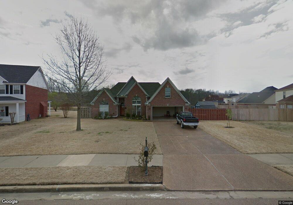
5592 Southbend Ln Olive Branch, MS 38654
Estimated Value: $276,467 - $291,000
4
Beds
2
Baths
2,094
Sq Ft
$135/Sq Ft
Est. Value
About This Home
This home is located at 5592 Southbend Ln, Olive Branch, MS 38654 and is currently estimated at $283,617, approximately $135 per square foot. 5592 Southbend Ln is a home located in DeSoto County with nearby schools including Chickasaw Elementary School, Olive Branch Middle School, and Olive Branch High School.
Ownership History
Date
Name
Owned For
Owner Type
Purchase Details
Closed on
May 21, 2021
Sold by
Donahoe Kevin and Donahoe Alexis
Bought by
Yamasa Co Ltd
Current Estimated Value
Purchase Details
Closed on
Feb 19, 2016
Sold by
Ellison Paul C and Ellison Zula L
Bought by
Donahoe Kevin and Donahoe Alexis
Purchase Details
Closed on
Dec 18, 2009
Sold by
Bean Richard G and Bufkin Jackie
Bought by
Ellison Paul C and Ellison Zula L
Home Financials for this Owner
Home Financials are based on the most recent Mortgage that was taken out on this home.
Original Mortgage
$27,120
Interest Rate
5.01%
Mortgage Type
Future Advance Clause Open End Mortgage
Purchase Details
Closed on
Jul 3, 2007
Sold by
Morris Christopher S and Morris Jennifer G
Bought by
Bean Richard G and Bean Jackie B
Create a Home Valuation Report for This Property
The Home Valuation Report is an in-depth analysis detailing your home's value as well as a comparison with similar homes in the area
Home Values in the Area
Average Home Value in this Area
Purchase History
| Date | Buyer | Sale Price | Title Company |
|---|---|---|---|
| Yamasa Co Ltd | -- | Realty Title & Escrow Co Inc | |
| Donahoe Kevin | -- | None Available | |
| Ellison Paul C | -- | None Available | |
| Bean Richard G | -- | First National Financial Tit |
Source: Public Records
Mortgage History
| Date | Status | Borrower | Loan Amount |
|---|---|---|---|
| Previous Owner | Ellison Paul C | $27,120 |
Source: Public Records
Tax History Compared to Growth
Tax History
| Year | Tax Paid | Tax Assessment Tax Assessment Total Assessment is a certain percentage of the fair market value that is determined by local assessors to be the total taxable value of land and additions on the property. | Land | Improvement |
|---|---|---|---|---|
| 2024 | $1,768 | $12,953 | $2,500 | $10,453 |
| 2023 | $1,768 | $12,953 | $0 | $0 |
| 2022 | $1,768 | $12,953 | $2,500 | $10,453 |
| 2021 | $1,468 | $12,953 | $2,500 | $10,453 |
| 2020 | $1,353 | $12,112 | $2,500 | $9,612 |
| 2019 | $1,353 | $12,112 | $2,500 | $9,612 |
| 2017 | $1,322 | $21,140 | $11,820 | $9,320 |
| 2016 | $664 | $12,337 | $2,500 | $9,837 |
| 2015 | $1,693 | $22,174 | $12,337 | $9,837 |
| 2014 | $664 | $12,337 | $0 | $0 |
| 2013 | $644 | $12,337 | $0 | $0 |
Source: Public Records
Map
Nearby Homes
- 5619 Eagleston Dr
- 5806 Southbend Ln
- 2914 Cypress Lake Dr S
- 9598 Nielsen Dr
- 5195 Mary Ln N
- 5841 Blocker St
- 6032 Robby Cove
- 9653 Trenton Trail
- 0 Hacks Rd Unit 4132565
- 8754 Ln
- 9821 Morgan Manor Dr
- 9930 Sequoia Ln
- 7550 Old Highway 78
- 9893 Cherokee Dr
- 5295 Blocker St
- 9635 Austin Dr
- 10321 Loftin Dr
- 9811 Cherokee Dr
- 9800 Cherokee Dr
- 5427 Highway 305 N
- 5592 Southbend Ln
- 5606 Southbend Ln
- 5642 Michaelson Dr
- 5628 Michaelson Dr
- 5614 Michaelson Dr
- 5670 Michaelson Dr
- 5620 Southbend Ln
- 5605 Southbend Ln
- 5633 Southbend Ln
- 5600 Michaelson Dr
- 5684 Michaelson Dr
- 5634 Southbend Ln
- 5647 Michaelson Dr
- 5586 Michaelson Dr
- 5633 Michaelson Dr
- 5661 Michaelson Dr
- 5647 Southbend Ln
- 5675 Michaelson Dr
- 0 Blocker St
- 5698 Michaelson Dr