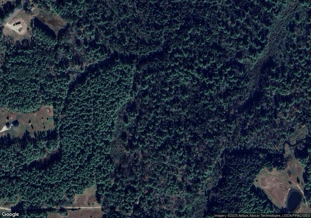
56 Blackhawk Rd Freeport, ME 04032
Estimated Value: $593,000 - $838,000
Studio
--
Bath
--
Sq Ft
5,880,600
Sq Ft Lot
About This Home
This home is located at 56 Blackhawk Rd, Freeport, ME 04032 and is currently estimated at $700,052. 56 Blackhawk Rd is a home located in Cumberland County with nearby schools including Morse Street School, Mast Landing School, and Freeport Middle School.
Create a Home Valuation Report for This Property
The Home Valuation Report is an in-depth analysis detailing your home's value as well as a comparison with similar homes in the area
Home Values in the Area
Average Home Value in this Area
Tax History
| Year | Tax Paid | Tax Assessment Tax Assessment Total Assessment is a certain percentage of the fair market value that is determined by local assessors to be the total taxable value of land and additions on the property. | Land | Improvement |
|---|---|---|---|---|
| 2025 | $6,980 | $504,000 | $294,100 | $209,900 |
| 2024 | $6,571 | $492,200 | $282,300 | $209,900 |
| 2023 | $6,073 | $441,700 | $259,900 | $181,800 |
| 2022 | $5,706 | $418,000 | $236,200 | $181,800 |
| 2021 | $5,582 | $418,100 | $236,300 | $181,800 |
| 2020 | $5,501 | $392,900 | $223,300 | $169,600 |
| 2019 | $5,354 | $374,400 | $213,400 | $161,000 |
| 2018 | $5,322 | $353,600 | $199,900 | $153,700 |
| 2017 | $5,155 | $344,800 | $196,100 | $148,700 |
| 2016 | $5,130 | $324,700 | $187,500 | $137,200 |
| 2015 | $2,822 | $168,000 | $132,300 | $35,700 |
| 2014 | $3,089 | $195,500 | $159,800 | $35,700 |
| 2013 | $2,794 | $176,300 | $145,000 | $31,300 |
Source: Public Records
Map
Nearby Homes
Your Personal Tour Guide
Ask me questions while you tour the home.