56 Doetown Rd Rumney, NH 03266
Estimated Value: $315,000 - $413,000
4
Beds
2
Baths
1,229
Sq Ft
$289/Sq Ft
Est. Value
About This Home
This home is located at 56 Doetown Rd, Rumney, NH 03266 and is currently estimated at $355,322, approximately $289 per square foot. 56 Doetown Rd is a home with nearby schools including Campton Elementary School.
Ownership History
Date
Name
Owned For
Owner Type
Purchase Details
Closed on
May 9, 2003
Sold by
Defelice Edward R
Bought by
Griffiths Michael A
Current Estimated Value
Home Financials for this Owner
Home Financials are based on the most recent Mortgage that was taken out on this home.
Original Mortgage
$114,096
Interest Rate
5.93%
Create a Home Valuation Report for This Property
The Home Valuation Report is an in-depth analysis detailing your home's value as well as a comparison with similar homes in the area
Home Values in the Area
Average Home Value in this Area
Purchase History
| Date | Buyer | Sale Price | Title Company |
|---|---|---|---|
| Griffiths Michael A | $124,900 | -- |
Source: Public Records
Mortgage History
| Date | Status | Borrower | Loan Amount |
|---|---|---|---|
| Open | Griffiths Michael A | $138,750 | |
| Closed | Griffiths Michael A | $114,096 |
Source: Public Records
Tax History
| Year | Tax Paid | Tax Assessment Tax Assessment Total Assessment is a certain percentage of the fair market value that is determined by local assessors to be the total taxable value of land and additions on the property. | Land | Improvement |
|---|---|---|---|---|
| 2025 | $2,497 | $339,300 | $142,900 | $196,400 |
| 2024 | $2,377 | $156,300 | $56,000 | $100,300 |
| 2023 | $2,346 | $156,300 | $56,000 | $100,300 |
| 2022 | $2,373 | $156,300 | $56,000 | $100,300 |
| 2021 | $2,306 | $161,000 | $56,000 | $105,000 |
| 2020 | $2,425 | $161,000 | $56,000 | $105,000 |
| 2019 | $2,367 | $114,700 | $35,200 | $79,500 |
| 2018 | $3,027 | $114,700 | $35,200 | $79,500 |
| 2017 | $2,395 | $114,700 | $35,200 | $79,500 |
| 2016 | $2,276 | $114,700 | $35,200 | $79,500 |
| 2015 | $2,334 | $114,700 | $35,200 | $79,500 |
| 2014 | $2,375 | $119,100 | $31,700 | $87,400 |
| 2013 | $1,906 | $119,100 | $31,700 | $87,400 |
Source: Public Records
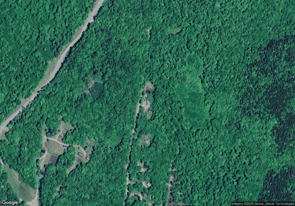
Map
Nearby Homes
- 26 Doetown Rd
- 768 Doetown Rd
- 362 Cross Rd
- 0 Glade Unit 103
- 47 Puckerbrush Rd
- 36 Puckerbrush Rd
- 47 Auguste Rd
- 459 Main St
- Lot 5 E Side Rd
- 0 Bald Mountain Rd Unit 5
- 311 Ellsworth Hill Rd
- 968 Mount Moosilauke Hwy
- 446 New Hampshire 25
- 3039
- 3039 US Route 3
- 4 Seven Sisters Cir
- 139 Turner Rd
- 30 Tuxette Rd
- 0 Melina's Way Unit 12
- 0 Melina's Way Unit 18
- 44 Doetown Rd
- 9 Buzzell Valley Rd
- 14 Doetown Rd
- 2968 Stinson Lake Rd
- 139 Ranch Rd
- 2968 Stinson
- 145 Ranch Rd
- 161 Ranch Rd
- 32 Doetown Rd
- 42 Ranch Rd
- 3533 Stinson Lake Rd
- 2876 Stinson Lake Rd
- 2875 Stinson Lake Rd
- 174 Ranch Rd
- 1041 Doetown Rd
- 194 Ranch Rd
- 3014 Stinson Lake Rd
- 2873 Stinson Lake Rd
- 3157 Stinson Lake Rd
- 3231 Stinson Lake Rd
Your Personal Tour Guide
Ask me questions while you tour the home.