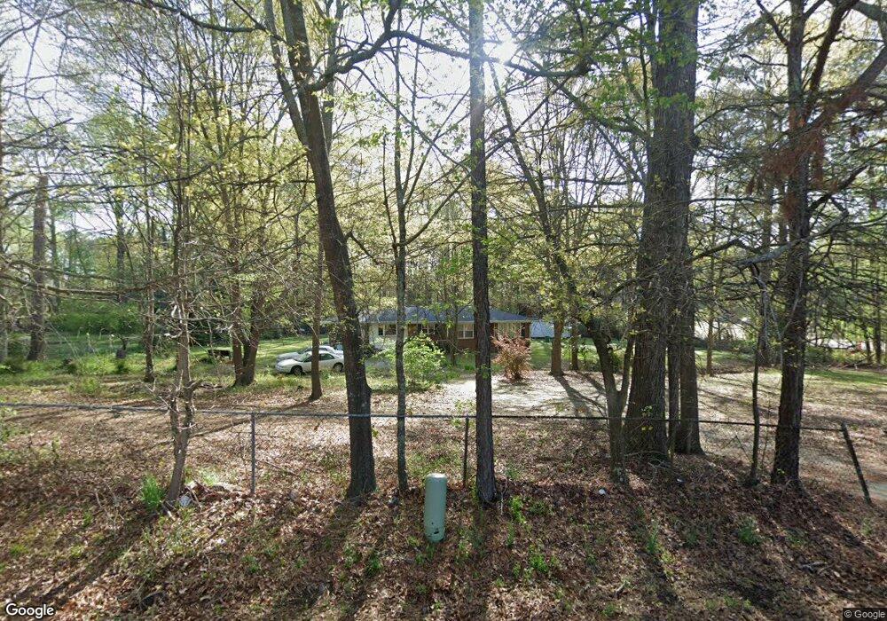
56 Mays Rd Stockbridge, GA 30281
Estimated Value: $209,498 - $237,000
3
Beds
1
Bath
1,182
Sq Ft
$185/Sq Ft
Est. Value
About This Home
This home is located at 56 Mays Rd, Stockbridge, GA 30281 and is currently estimated at $218,625, approximately $184 per square foot. 56 Mays Rd is a home located in Henry County with nearby schools including Cotton Indian Elementary School, Stockbridge Middle School, and Stockbridge High School.
Ownership History
Date
Name
Owned For
Owner Type
Purchase Details
Closed on
Jun 30, 2021
Sold by
Tate Michael E
Bought by
Martin Joel P and Martin Nancy
Current Estimated Value
Home Financials for this Owner
Home Financials are based on the most recent Mortgage that was taken out on this home.
Original Mortgage
$143,015
Outstanding Balance
$129,764
Interest Rate
2.9%
Mortgage Type
VA
Estimated Equity
$88,861
Purchase Details
Closed on
Feb 6, 2001
Sold by
Allen Barbara T
Bought by
Tate Michael E and Tate Chrystal M
Home Financials for this Owner
Home Financials are based on the most recent Mortgage that was taken out on this home.
Original Mortgage
$65,000
Interest Rate
7.03%
Create a Home Valuation Report for This Property
The Home Valuation Report is an in-depth analysis detailing your home's value as well as a comparison with similar homes in the area
Home Values in the Area
Average Home Value in this Area
Purchase History
| Date | Buyer | Sale Price | Title Company |
|---|---|---|---|
| Martin Joel P | $139,800 | -- | |
| Tate Michael E | $65,000 | -- |
Source: Public Records
Mortgage History
| Date | Status | Borrower | Loan Amount |
|---|---|---|---|
| Open | Martin Joel P | $143,015 | |
| Previous Owner | Tate Michael E | $65,000 |
Source: Public Records
Tax History Compared to Growth
Tax History
| Year | Tax Paid | Tax Assessment Tax Assessment Total Assessment is a certain percentage of the fair market value that is determined by local assessors to be the total taxable value of land and additions on the property. | Land | Improvement |
|---|---|---|---|---|
| 2024 | $617 | $94,240 | $13,680 | $80,560 |
| 2023 | $344 | $66,120 | $13,160 | $52,960 |
| 2022 | $480 | $55,920 | $11,184 | $44,736 |
| 2021 | $1,761 | $44,880 | $10,440 | $34,440 |
| 2020 | $1,623 | $41,280 | $9,800 | $31,480 |
| 2019 | $1,465 | $37,160 | $9,320 | $27,840 |
| 2018 | $0 | $32,400 | $8,600 | $23,800 |
| 2016 | $979 | $24,480 | $6,400 | $18,080 |
| 2015 | -- | $20,400 | $7,200 | $13,200 |
| 2014 | -- | $17,200 | $7,200 | $10,000 |
Source: Public Records
Map
Nearby Homes
- 110 Wildwood Rd Unit 2
- 160 Springvalley Cir
- 146 Springvalley Cir
- 270 Mays Rd
- 245 Amanda Ct
- 393 & 381 Old Conyers Rd
- 135 Springvalley Way
- 240 Briarcliff Place Unit 2
- 20 King Place
- 117 Valerie Ct
- 216 Epping St Unit 5
- 4891 SW East Fairview Rd
- 138 Highway E
- 169 Zircon Ln
- 174 Zircon Ln
- 10 Briarcliff Place
- 500 Amethyst Way
- 508 Amethyst Way
- 158 Oakland Blvd
- 300 Shine Dr
- 80 Mays Rd Unit 2
- 88 Mays Rd
- 104 Wildwood Rd
- 108 Wildwood Rd
- 96 Mays Rd
- 120 Mays Rd
- 40 Mays Rd
- 102 Mays Rd
- 102 Wildwood Rd Unit 2
- 112 Wildwood Rd
- 107 Wildwood Rd
- 0 Wildwood Rd Unit 7490225
- 0 Wildwood Rd Unit 8886880
- 0 Wildwood Rd Unit 8151583
- 0 Wildwood Rd Unit 8850036
- 0 Wildwood Rd Unit 8803521
- 114 Mays Rd
- 114 Wildwood Rd
- 0 Mays Rd Unit 8433012
- 0 Mays Rd Unit 7183091