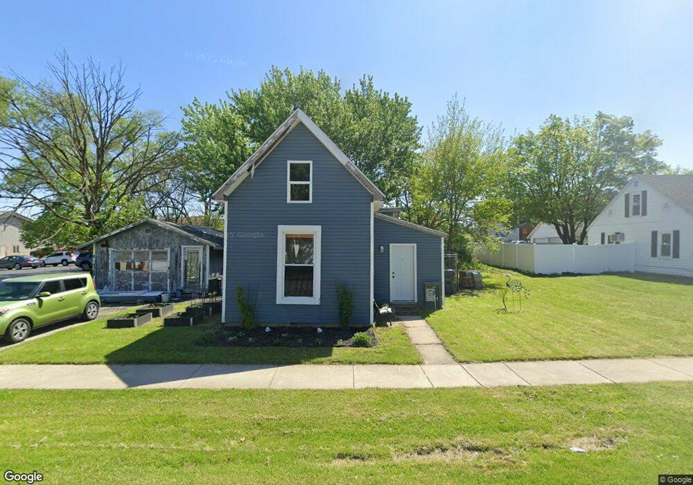
56 N 1st St Upland, IN 46989
Estimated Value: $104,000 - $257,000
2
Beds
1
Bath
1,036
Sq Ft
$143/Sq Ft
Est. Value
About This Home
This home is located at 56 N 1st St, Upland, IN 46989 and is currently estimated at $148,306, approximately $143 per square foot. 56 N 1st St is a home with nearby schools including Eastbrook High School.
Ownership History
Date
Name
Owned For
Owner Type
Purchase Details
Closed on
Mar 21, 2005
Sold by
Dooley Brian
Bought by
Rylo Llc
Current Estimated Value
Purchase Details
Closed on
Jan 25, 2005
Sold by
Sabo John M
Bought by
Dooley Brian
Purchase Details
Closed on
Jun 3, 2002
Sold by
Not Provided
Bought by
Not Provided
Purchase Details
Closed on
Mar 20, 2002
Sold by
Not Provided
Bought by
Not Provided
Purchase Details
Closed on
Aug 16, 2001
Sold by
Not Provided
Bought by
Not Provided
Purchase Details
Closed on
Sep 8, 1998
Sold by
Not Provided
Bought by
Not Provided
Create a Home Valuation Report for This Property
The Home Valuation Report is an in-depth analysis detailing your home's value as well as a comparison with similar homes in the area
Home Values in the Area
Average Home Value in this Area
Purchase History
| Date | Buyer | Sale Price | Title Company |
|---|---|---|---|
| Rylo Llc | -- | None Available | |
| Dooley Brian | -- | None Available | |
| Not Provided | $16,400 | -- | |
| Not Provided | -- | -- | |
| Not Provided | -- | -- | |
| Not Provided | $40,400 | -- |
Source: Public Records
Tax History Compared to Growth
Tax History
| Year | Tax Paid | Tax Assessment Tax Assessment Total Assessment is a certain percentage of the fair market value that is determined by local assessors to be the total taxable value of land and additions on the property. | Land | Improvement |
|---|---|---|---|---|
| 2024 | $971 | $66,900 | $15,700 | $51,200 |
| 2023 | $578 | $39,500 | $15,700 | $23,800 |
| 2022 | $442 | $27,300 | $11,800 | $15,500 |
| 2021 | $436 | $25,500 | $11,800 | $13,700 |
| 2020 | $388 | $24,600 | $11,200 | $13,400 |
| 2019 | $354 | $23,600 | $11,200 | $12,400 |
| 2018 | $308 | $21,800 | $10,200 | $11,600 |
| 2017 | $303 | $21,500 | $10,200 | $11,300 |
| 2016 | $286 | $21,500 | $10,200 | $11,300 |
| 2014 | $265 | $21,100 | $10,200 | $10,900 |
| 2013 | $265 | $22,600 | $10,200 | $12,400 |
Source: Public Records
Map
Nearby Homes
- 134 E Washington St
- 158 W Anson St
- 328 W Jefferson St
- Lot 8 W South St
- Lot 7 W South St
- Lot 9 W South St
- 0 Catalina Dr
- 776 W Harsax Dr
- 281 W Taylor Ave
- 2300 S 8th St
- 11332 E 600 S
- 7960 S 950 E
- 400-500 S 1000 E
- 8567 S 950 E
- 0 S 950 E Unit 202532105
- 3739 S 600 East (Tract 4)
- 6644 E 750 S
- 2866 W State Road 26
- 953 Earl Dr
- 954 Sellers Rd
- 32 N 1st St
- 83 N 1st St
- 33 N 1st St
- 57 N 1st St
- 119 N Main St
- 126 W Railroad St
- 82 W Washington St
- 60 W Washington St
- 169 W Washington St
- 120 W Washington St
- 111 N Main St
- 164 W Railroad St
- 129 E Washington St
- 170 S Second St
- 10 N Main St
- 33 E Washington St
- 133 N Anson St
- 161 W Anson St
- 37 N 2nd St
- 81 N 2nd St