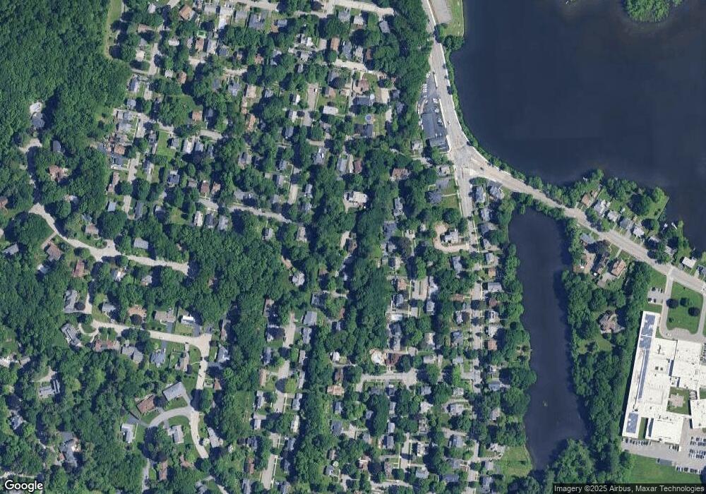
56 Nottingham Rd Worcester, MA 01609
Forest Grove NeighborhoodEstimated Value: $539,868 - $680,000
4
Beds
2
Baths
2,811
Sq Ft
$227/Sq Ft
Est. Value
About This Home
This home is located at 56 Nottingham Rd, Worcester, MA 01609 and is currently estimated at $639,217, approximately $227 per square foot. 56 Nottingham Rd is a home located in Worcester County with nearby schools including Nelson Place Elementary School, Jacob Hiatt Magnet School, and Chandler Magnet.
Create a Home Valuation Report for This Property
The Home Valuation Report is an in-depth analysis detailing your home's value as well as a comparison with similar homes in the area
Home Values in the Area
Average Home Value in this Area
Tax History
| Year | Tax Paid | Tax Assessment Tax Assessment Total Assessment is a certain percentage of the fair market value that is determined by local assessors to be the total taxable value of land and additions on the property. | Land | Improvement |
|---|---|---|---|---|
| 2025 | $5,972 | $452,800 | $125,900 | $326,900 |
| 2024 | $5,871 | $427,000 | $125,900 | $301,100 |
| 2023 | $5,643 | $393,500 | $108,600 | $284,900 |
| 2022 | $5,243 | $344,700 | $87,200 | $257,500 |
| 2021 | $5,156 | $316,700 | $70,100 | $246,600 |
| 2020 | $5,018 | $295,200 | $69,900 | $225,300 |
| 2019 | $5,116 | $284,200 | $67,700 | $216,500 |
| 2018 | $5,100 | $269,700 | $67,700 | $202,000 |
| 2017 | $5,032 | $261,800 | $67,700 | $194,100 |
| 2016 | $5,175 | $251,100 | $57,400 | $193,700 |
| 2015 | $5,040 | $251,100 | $57,400 | $193,700 |
| 2014 | $4,846 | $248,000 | $57,400 | $190,600 |
Source: Public Records
Map
Nearby Homes
Your Personal Tour Guide
Ask me questions while you tour the home.