5606 Ware Point Rd Gloucester, VA 23061
Ware Neck NeighborhoodEstimated Value: $500,524 - $742,000
3
Beds
2
Baths
1,560
Sq Ft
$386/Sq Ft
Est. Value
About This Home
This home is located at 5606 Ware Point Rd, Gloucester, VA 23061 and is currently estimated at $601,881, approximately $385 per square foot. 5606 Ware Point Rd is a home located in Gloucester County with nearby schools including Botetourt Elementary School, Peasley Middle School, and Gloucester High School.
Ownership History
Date
Name
Owned For
Owner Type
Purchase Details
Closed on
Jun 24, 2024
Sold by
Rutter George W and Rutter Deborah W
Bought by
George & Deborah W Rutter Trust and Rutter
Current Estimated Value
Purchase Details
Closed on
Jun 4, 2009
Sold by
Rutter George W
Bought by
Rutter George W and Rutter Deborah W
Home Financials for this Owner
Home Financials are based on the most recent Mortgage that was taken out on this home.
Original Mortgage
$282,500
Interest Rate
4.91%
Mortgage Type
New Conventional
Create a Home Valuation Report for This Property
The Home Valuation Report is an in-depth analysis detailing your home's value as well as a comparison with similar homes in the area
Home Values in the Area
Average Home Value in this Area
Purchase History
| Date | Buyer | Sale Price | Title Company |
|---|---|---|---|
| George & Deborah W Rutter Trust | -- | None Listed On Document | |
| Rutter George W | -- | None Available |
Source: Public Records
Mortgage History
| Date | Status | Borrower | Loan Amount |
|---|---|---|---|
| Previous Owner | Rutter George W | $282,500 |
Source: Public Records
Tax History
| Year | Tax Paid | Tax Assessment Tax Assessment Total Assessment is a certain percentage of the fair market value that is determined by local assessors to be the total taxable value of land and additions on the property. | Land | Improvement |
|---|---|---|---|---|
| 2025 | $2,708 | $440,990 | $183,990 | $257,000 |
| 2024 | $2,708 | $436,070 | $183,990 | $252,080 |
| 2023 | $2,542 | $436,070 | $183,990 | $252,080 |
| 2022 | $3,823 | $527,310 | $296,390 | $230,920 |
| 2021 | $3,665 | $527,310 | $296,390 | $230,920 |
| 2020 | $3,665 | $527,310 | $296,390 | $230,920 |
| 2019 | $3,346 | $481,490 | $296,390 | $185,100 |
| 2017 | $3,346 | $481,490 | $296,390 | $185,100 |
| 2016 | $3,493 | $502,660 | $296,390 | $206,270 |
| 2015 | $3,418 | $620,000 | $358,700 | $261,300 |
| 2014 | $4,030 | $620,000 | $358,700 | $261,300 |
Source: Public Records
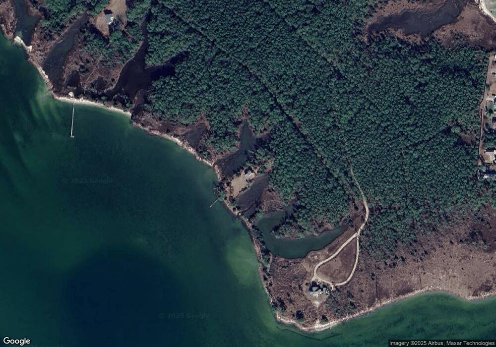
Map
Nearby Homes
- 672 Northwood Cove
- 1AC Ditchley Dr
- 9378 Robins Neck Rd
- 337 Juniper Cove Ln
- 8428 Robins Neck Rd
- 0 Turnpike Rd
- 84 New Little St
- 393 Whites Neck Dr
- 00 Parcel B Turnpike Rd
- 2.5ac N River Rd
- 6777 Ware Neck Rd
- 7692 Cunningham Ln
- 7270 Shadywoods Ln
- TBD Pecan Ln
- 6+ AC Oakland Creek Ln
- 6+AC Oakland Creek Ln
- 3.87ac Cunningham Ln
- 341 Cardinal Rd
- 3340 E River Rd
- 3610 N River Rd
- 5590 Ware Point Rd
- 5655 Ware Point Rd
- 5683 Ware Point Rd
- 5853 Ware Point Rd
- 5853 Ware Point Ln
- 1 ac N Ware Point Ln
- 00 N Ware Point Ln
- 5843 N Ware Point Ln
- 5843 Ware Point Rd
- 5873 Ware Point Rd
- 5853 N Ware Point Ln
- 5885 Ware Point Rd
- 5905 N Ware Point Ln
- 5915 N Ware Point Ln
- 5699 Ware Point Rd
- 5905 Ware Point Rd
- 5915 Ware Point Rd
- 5915 Ware Point Rd Unit LN
- 5915 Ware Point Rd Unit LANE
- 5741 Ware Point Rd
Your Personal Tour Guide
Ask me questions while you tour the home.