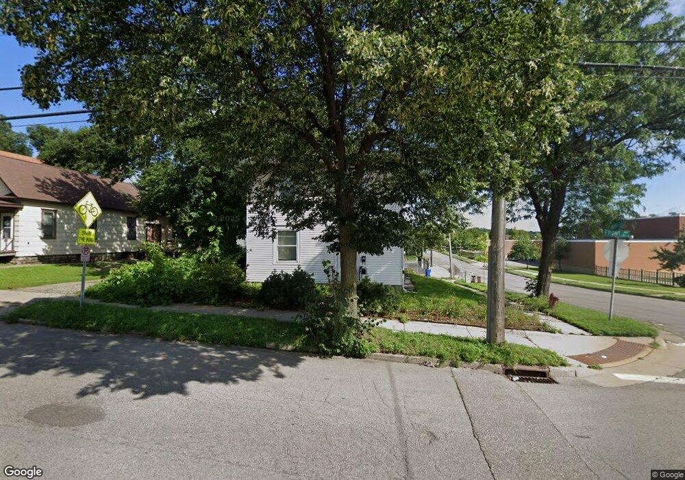
561 Front Ave Saint Paul, MN 55117
North End NeighborhoodEstimated Value: $277,895 - $341,000
3
Beds
2
Baths
2,304
Sq Ft
$132/Sq Ft
Est. Value
About This Home
This home is located at 561 Front Ave, Saint Paul, MN 55117 and is currently estimated at $303,724, approximately $131 per square foot. 561 Front Ave is a home located in Ramsey County with nearby schools including Como Park Elementary School, Murray Middle School, and Como Park Senior High School.
Ownership History
Date
Name
Owned For
Owner Type
Purchase Details
Closed on
Oct 22, 2019
Sold by
Kane Robert J
Bought by
Discenza Patrick
Current Estimated Value
Home Financials for this Owner
Home Financials are based on the most recent Mortgage that was taken out on this home.
Original Mortgage
$181,050
Outstanding Balance
$159,092
Interest Rate
3.65%
Mortgage Type
New Conventional
Estimated Equity
$144,632
Create a Home Valuation Report for This Property
The Home Valuation Report is an in-depth analysis detailing your home's value as well as a comparison with similar homes in the area
Home Values in the Area
Average Home Value in this Area
Purchase History
We collect this data history from publicly available records. To have your information removed, we recommend requesting removal directly through your county’s website.
| Date | Buyer | Sale Price | Title Company |
|---|---|---|---|
| Discenza Patrick | $213,000 | Network Title Inc |
Source: Public Records
Mortgage History
We collect this data history from publicly available records. To have your information removed, we recommend requesting removal directly through your county’s website.
| Date | Status | Borrower | Loan Amount |
|---|---|---|---|
| Open | Discenza Patrick | $181,050 |
Source: Public Records
Tax History
| Year | Tax Paid | Tax Assessment Tax Assessment Total Assessment is a certain percentage of the fair market value that is determined by local assessors to be the total taxable value of land and additions on the property. | Land | Improvement |
|---|---|---|---|---|
| 2025 | $5,354 | $299,200 | $25,000 | $274,200 |
| 2023 | $5,354 | $266,100 | $20,000 | $246,100 |
| 2022 | $3,436 | $228,700 | $20,000 | $208,700 |
| 2021 | $2,962 | $206,900 | $20,000 | $186,900 |
| 2020 | $2,264 | $198,300 | $11,700 | $186,600 |
| 2019 | $1,884 | $147,800 | $11,700 | $136,100 |
| 2018 | $1,738 | $125,000 | $11,700 | $113,300 |
| 2017 | $1,828 | $120,500 | $11,700 | $108,800 |
| 2016 | $1,902 | $0 | $0 | $0 |
| 2015 | $1,104 | $113,200 | $11,700 | $101,500 |
| 2014 | $1,110 | $0 | $0 | $0 |
Source: Public Records
Map
Nearby Homes
- 571 Front Ave
- 593 Front Ave
- 352 Como Ave
- 1048 Dale St N
- 1070 Dale St N
- 700 Edgar Ave
- 1103 Loeb St
- 1104 MacKubin St
- 1008 Grotto St N
- 740 Como Ave
- 397 Burgess St
- 998 Jameson St
- 1044 Cumberland St
- 925 Western Ave N
- 952 Western Ave N
- 1087 Western Ave N
- 990 Como Place
- 342 Front Ave
- 1051 Virginia St
- 366 Topping St
- 577 Front Ave
- 569 Front Ave
- 581 Front Ave
- 581 581 Front-Avenue-
- 579 Front Ave
- 585 Front Ave
- 589 Front Ave
- 599-605 Front Ave
- 576 Front Ave
- 588 Hatch Ave W
- 591 Como Ave
- 596 Hatch Ave
- 605 Como Ave
- 587 Como Ave
- 581 Como Ave
- 600 Hatch Ave
- 569 569 Hatch-Avenue-
- 569 569 Hatch Ave
- 577 Hatch Ave
- 569 Hatch Ave
Your Personal Tour Guide
Ask me questions while you tour the home.