Estimated Value: $252,000 - $283,000
2
Beds
2
Baths
1,224
Sq Ft
$218/Sq Ft
Est. Value
About This Home
This home is located at 561 Maple Ln, Mason, OH 45040 and is currently estimated at $267,293, approximately $218 per square foot. 561 Maple Ln is a home located in Warren County with nearby schools including Mason Intermediate Elementary School, Mason Middle School, and William Mason High School.
Ownership History
Date
Name
Owned For
Owner Type
Purchase Details
Closed on
Sep 26, 2008
Sold by
Rollinger Barry A
Bought by
Rollinger Wendy
Current Estimated Value
Purchase Details
Closed on
Oct 8, 2004
Sold by
Hillard F Brian
Bought by
Rollinger Barry A and Rollinger Wendy
Home Financials for this Owner
Home Financials are based on the most recent Mortgage that was taken out on this home.
Original Mortgage
$113,500
Interest Rate
7.25%
Mortgage Type
Purchase Money Mortgage
Purchase Details
Closed on
Jun 2, 1997
Sold by
Smith Carole R
Bought by
Brian F and Hillard Patricia A
Home Financials for this Owner
Home Financials are based on the most recent Mortgage that was taken out on this home.
Original Mortgage
$97,650
Interest Rate
8.27%
Mortgage Type
Balloon
Purchase Details
Closed on
Mar 10, 1994
Sold by
Curtis Hughes and Curtis P.
Bought by
Smith Smith and Smith Carole R
Purchase Details
Closed on
May 3, 1984
Sold by
Behm Behm and Behm Elizabeth Ann
Bought by
Curtis Hughes and Curtis P.
Purchase Details
Closed on
Jun 12, 1979
Sold by
Crombie Crombie and Crombie John R
Create a Home Valuation Report for This Property
The Home Valuation Report is an in-depth analysis detailing your home's value as well as a comparison with similar homes in the area
Home Values in the Area
Average Home Value in this Area
Purchase History
| Date | Buyer | Sale Price | Title Company |
|---|---|---|---|
| Rollinger Wendy | -- | Attorney | |
| Rollinger Barry A | $113,500 | Mid America Land Title | |
| Brian F | $108,500 | -- | |
| Smith Smith | $71,000 | -- | |
| Curtis Hughes | $78,000 | -- | |
| -- | $61,900 | -- |
Source: Public Records
Mortgage History
| Date | Status | Borrower | Loan Amount |
|---|---|---|---|
| Previous Owner | Rollinger Barry A | $113,500 | |
| Previous Owner | Brian F | $97,650 |
Source: Public Records
Tax History
| Year | Tax Paid | Tax Assessment Tax Assessment Total Assessment is a certain percentage of the fair market value that is determined by local assessors to be the total taxable value of land and additions on the property. | Land | Improvement |
|---|---|---|---|---|
| 2025 | $2,871 | $70,750 | $21,000 | $49,750 |
| 2024 | $2,871 | $70,750 | $21,000 | $49,750 |
| 2023 | $2,428 | $50,554 | $8,260 | $42,294 |
| 2022 | $2,397 | $50,554 | $8,260 | $42,294 |
| 2021 | $2,271 | $50,554 | $8,260 | $42,294 |
| 2020 | $2,244 | $42,844 | $7,000 | $35,844 |
| 2019 | $2,063 | $42,844 | $7,000 | $35,844 |
| 2018 | $2,070 | $42,844 | $7,000 | $35,844 |
| 2017 | $1,865 | $36,022 | $5,985 | $30,037 |
| 2016 | $1,921 | $36,022 | $5,985 | $30,037 |
| 2015 | $1,925 | $36,022 | $5,985 | $30,037 |
| 2014 | $2,065 | $36,020 | $5,990 | $30,040 |
| 2013 | $2,069 | $42,130 | $7,000 | $35,130 |
Source: Public Records
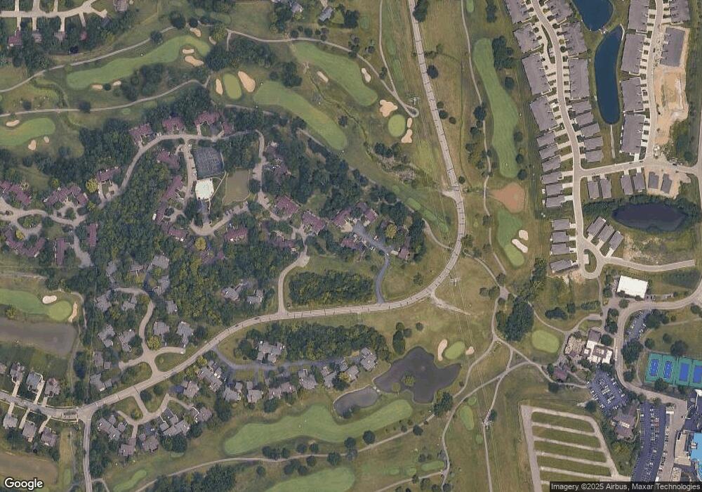
Map
Nearby Homes
- 550 Maple Ln
- 618 Bunker Ln
- 5873 Falling Brook Dr
- 602 Bunker Ln
- 5921 Fairway Dr
- 3634 Pebble Creek Ct
- 5399 Country Ridge Dr
- 5276 Bay Pointe Dr
- 6510 Prestwick Ct
- 5533 Cox-Smith Rd
- 5523 Cox-Smith Rd
- 5513 Cox-Smith Rd
- 5493 Cox-Smith Rd
- 5503 Cox-Smith Rd
- 4109 Old Manchester Ct
- 4019 Fieldsedge Dr
- 200 Lakeview Dr
- 6668 Pondfield Ln
- 6768 Pondfield Ln Unit 271E
- 6764 Pondfield Ln
Your Personal Tour Guide
Ask me questions while you tour the home.