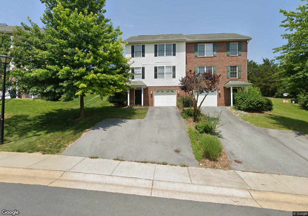
561 Pointe Dr Harrisonburg, VA 22801
Estimated Value: $293,000 - $364,537
2
Beds
3
Baths
2,004
Sq Ft
$161/Sq Ft
Est. Value
About This Home
This home is located at 561 Pointe Dr, Harrisonburg, VA 22801 and is currently estimated at $322,134, approximately $160 per square foot. 561 Pointe Dr is a home located in Harrisonburg City with nearby schools including Bluestone Elementary, Thomas Harrison Middle School, and Harrisonburg High School.
Ownership History
Date
Name
Owned For
Owner Type
Purchase Details
Closed on
Nov 9, 2018
Sold by
Wimer Kathy S
Bought by
Jenkins Chadd Shuler
Current Estimated Value
Home Financials for this Owner
Home Financials are based on the most recent Mortgage that was taken out on this home.
Original Mortgage
$148,550
Outstanding Balance
$130,093
Interest Rate
4.7%
Mortgage Type
New Conventional
Estimated Equity
$192,041
Purchase Details
Closed on
Oct 21, 2016
Sold by
Horne Terry D and Horne Amanda G Wimmer
Bought by
Wimer Kathy S
Create a Home Valuation Report for This Property
The Home Valuation Report is an in-depth analysis detailing your home's value as well as a comparison with similar homes in the area
Purchase History
| Date | Buyer | Sale Price | Title Company |
|---|---|---|---|
| Jenkins Chadd Shuler | $187,000 | Stewart Title Guaranty Co | |
| Wimer Kathy S | $161,000 | Valley Southern Title Ltd |
Source: Public Records
Mortgage History
| Date | Status | Borrower | Loan Amount |
|---|---|---|---|
| Open | Jenkins Chadd Shuler | $148,550 |
Source: Public Records
Tax History
| Year | Tax Paid | Tax Assessment Tax Assessment Total Assessment is a certain percentage of the fair market value that is determined by local assessors to be the total taxable value of land and additions on the property. | Land | Improvement |
|---|---|---|---|---|
| 2025 | $2,866 | $293,900 | $44,000 | $249,900 |
| 2024 | $2,866 | $283,800 | $44,000 | $239,800 |
| 2023 | $2,389 | $248,900 | $43,800 | $205,100 |
| 2022 | $2,097 | $225,500 | $40,000 | $185,500 |
| 2021 | $1,872 | $208,000 | $38,000 | $170,000 |
| 2020 | $1,647 | $189,400 | $38,000 | $151,400 |
| 2019 | $1,514 | $173,900 | $38,000 | $135,900 |
| 2018 | $1,257 | $170,600 | $38,000 | $132,600 |
| 2017 | $1,257 | $168,400 | $38,000 | $130,400 |
| 2016 | $1,257 | $168,400 | $38,000 | $130,400 |
| 2015 | $1,257 | $174,600 | $38,000 | $136,600 |
| 2014 | -- | $169,000 | $40,000 | $129,000 |
Source: Public Records
Map
Nearby Homes
- 573 Pointe Dr
- 386 Hickory Grove Cir
- 745 Wingtip Way
- 618 Zephyr Dr
- 550 Grommet Dr
- 570 Wingtip Way
- 2060 Willow Hill Dr
- 2122 Willow Hill Dr
- 2132 Willow Hill Dr
- 3269 S Main St
- 3313 Impression Ct
- 3322 Debbie Ct
- 1734 Amherst Ct
- 675 Stone Spring Rd
- 3333 Marble Loop
- 105 Granite Rd
- 111 Obsidian Terrace
- 112 Obsidian Terrace
- 3326 Granite Rd
- 3522 Marble Loop
Your Personal Tour Guide
Ask me questions while you tour the home.