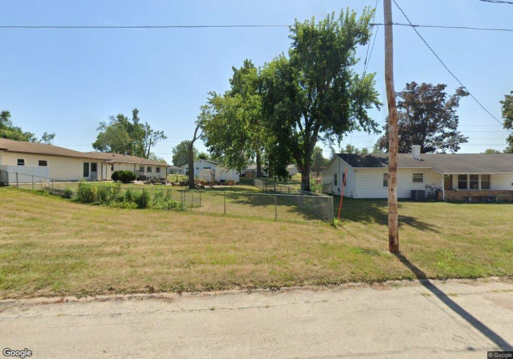
5610 Colorado Dr SW Cedar Rapids, IA 52404
Lincolnway Village NeighborhoodEstimated Value: $168,888 - $189,000
3
Beds
1
Bath
1,040
Sq Ft
$173/Sq Ft
Est. Value
About This Home
This home is located at 5610 Colorado Dr SW, Cedar Rapids, IA 52404 and is currently estimated at $179,972, approximately $173 per square foot. 5610 Colorado Dr SW is a home located in Linn County with nearby schools including Prairie Heights Elementary School, Prairie View Elementary School, and Prairie Crest Elementary School.
Ownership History
Date
Name
Owned For
Owner Type
Purchase Details
Closed on
Aug 3, 2020
Sold by
The Estate Of Dean Clifton Gillis
Bought by
Walter Geraldine S and Walter Geraldine S
Current Estimated Value
Home Financials for this Owner
Home Financials are based on the most recent Mortgage that was taken out on this home.
Original Mortgage
$91,767
Outstanding Balance
$81,554
Interest Rate
3.1%
Mortgage Type
Future Advance Clause Open End Mortgage
Estimated Equity
$98,418
Purchase Details
Closed on
May 4, 2004
Sold by
Johnson Kelly E
Bought by
Gillis Dean C
Home Financials for this Owner
Home Financials are based on the most recent Mortgage that was taken out on this home.
Original Mortgage
$72,000
Interest Rate
5.63%
Mortgage Type
Unknown
Purchase Details
Closed on
Jun 1, 1998
Sold by
Davis Betty M and Davis Thomas C
Bought by
High Jr Phillip Earl and High Becky Alice
Create a Home Valuation Report for This Property
The Home Valuation Report is an in-depth analysis detailing your home's value as well as a comparison with similar homes in the area
Home Values in the Area
Average Home Value in this Area
Purchase History
| Date | Buyer | Sale Price | Title Company |
|---|---|---|---|
| Walter Geraldine S | $70,000 | None Available | |
| Gillis Dean C | $89,500 | -- | |
| High Jr Phillip Earl | -- | -- |
Source: Public Records
Mortgage History
| Date | Status | Borrower | Loan Amount |
|---|---|---|---|
| Open | Walter Geraldine S | $91,767 | |
| Previous Owner | Gillis Dean C | $72,000 |
Source: Public Records
Tax History Compared to Growth
Tax History
| Year | Tax Paid | Tax Assessment Tax Assessment Total Assessment is a certain percentage of the fair market value that is determined by local assessors to be the total taxable value of land and additions on the property. | Land | Improvement |
|---|---|---|---|---|
| 2025 | $2,502 | $146,900 | $30,900 | $116,000 |
| 2024 | $2,432 | $136,400 | $30,900 | $105,500 |
| 2023 | $2,432 | $132,000 | $30,900 | $101,100 |
| 2022 | $2,352 | $109,800 | $26,500 | $83,300 |
| 2021 | $2,008 | $108,200 | $26,500 | $81,700 |
| 2020 | $2,008 | $100,100 | $22,100 | $78,000 |
| 2019 | $1,842 | $93,900 | $22,100 | $71,800 |
| 2018 | $1,786 | $93,900 | $22,100 | $71,800 |
| 2017 | $1,735 | $89,600 | $22,100 | $67,500 |
| 2016 | $1,735 | $83,500 | $22,100 | $61,400 |
| 2015 | $1,907 | $91,931 | $22,090 | $69,841 |
| 2014 | $1,720 | $91,931 | $22,090 | $69,841 |
| 2013 | $1,628 | $91,931 | $22,090 | $69,841 |
Source: Public Records
Map
Nearby Homes
- 5610 Briarwood St SW
- 5750 J St SW
- 62 Oklahoma Ave SW
- 5655 Deerwood St SW
- 6601 Ohio St SW
- 270 Miller Ave SW
- 72 Miller Ave SW Unit 8
- 51 Oklahoma Ave SW
- 6620 Preston Terrace Ct SW
- 7000 Harlan Eddy Dr SW
- 0 6th St & 76th Ave SW Unit 202505956
- 6812 Artesa Bell Dr SW
- 7006 Colpepper Dr SW
- 6612 Artesa Bell Dr SW
- 7113 Chenango Ln SW
- 0 41st Avenue Dr SW Unit 202507355
- 0 41st Avenue Dr SW Unit 1 Ac
- 0 41st Avenue Dr SW Unit 2.25 Ac
- 142 Brighton Cir SW
- 1410 Scarlet Sage Dr SW
- 5620 Colorado Dr SW
- 155 Mayden Ave SW
- 5600 Colorado Dr SW
- 5609 Ohio St SW
- 165 Mayden Ave SW
- 5630 Colorado Dr SW
- 5615 Colorado Dr SW
- 5607 Colorado Dr SW
- 5621 Colorado Dr SW
- 5601 Colorado Dr SW
- 5640 Colorado Dr SW
- 5629 Ohio St SW
- 175 Mayden Ave SW
- 142 Mayden Ave SW
- 5633 Colorado Dr SW
- 5610 Ohio St SW
- 5612 Vermont St SW
- 5618 Vermont St SW
- 134 Mayden Ave SW
- 5650 Colorado Dr SW