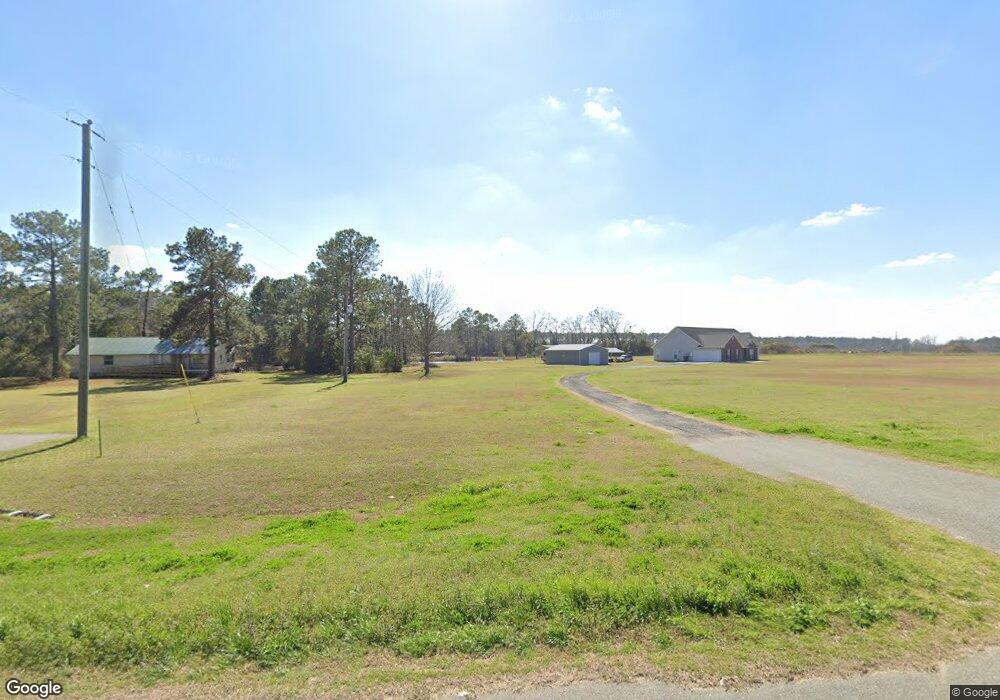
5620 Ga Highway 133 S Moultrie, GA 31788
Estimated Value: $345,000 - $401,443
--
Bed
--
Bath
2,504
Sq Ft
$149/Sq Ft
Est. Value
About This Home
This home is located at 5620 Ga Highway 133 S, Moultrie, GA 31788 and is currently estimated at $372,481, approximately $148 per square foot. 5620 Ga Highway 133 S is a home with nearby schools including Odom Elementary School, Willie J. Williams Middle School, and C.A. Gray Junior High School.
Ownership History
Date
Name
Owned For
Owner Type
Purchase Details
Closed on
Sep 26, 2014
Sold by
Tillman Donna E Estate
Bought by
Hart James Jody
Current Estimated Value
Purchase Details
Closed on
Jul 21, 2011
Sold by
Tillman Ronald
Bought by
Tillman Donna Elizabeth
Purchase Details
Closed on
Aug 5, 2009
Sold by
Tillman Ronald
Bought by
Tillman Donna Elizabeth and Anderson Roanne
Purchase Details
Closed on
Nov 18, 1984
Sold by
Walden Idell Estate
Bought by
Tillman Ronald
Create a Home Valuation Report for This Property
The Home Valuation Report is an in-depth analysis detailing your home's value as well as a comparison with similar homes in the area
Home Values in the Area
Average Home Value in this Area
Purchase History
| Date | Buyer | Sale Price | Title Company |
|---|---|---|---|
| Hart James Jody | -- | -- | |
| Tillman Donna Elizabeth | -- | -- | |
| Tillman Donna Elizabeth | -- | -- | |
| Tillman Ronald | $45,000 | -- |
Source: Public Records
Tax History Compared to Growth
Tax History
| Year | Tax Paid | Tax Assessment Tax Assessment Total Assessment is a certain percentage of the fair market value that is determined by local assessors to be the total taxable value of land and additions on the property. | Land | Improvement |
|---|---|---|---|---|
| 2024 | $2,720 | $124,729 | $15,076 | $109,653 |
| 2023 | $3,068 | $110,328 | $15,076 | $95,252 |
| 2022 | $2,264 | $97,087 | $13,401 | $83,686 |
| 2021 | $2,119 | $89,256 | $13,401 | $75,855 |
| 2020 | $2,157 | $89,256 | $13,401 | $75,855 |
| 2019 | $2,010 | $75,111 | $13,401 | $61,710 |
| 2018 | $1,921 | $75,111 | $13,401 | $61,710 |
| 2017 | $2,224 | $81,720 | $20,010 | $61,710 |
| 2016 | $552 | $20,010 | $20,010 | $0 |
| 2015 | $338 | $20,010 | $20,010 | $0 |
| 2014 | $547 | $20,010 | $20,010 | $0 |
| 2013 | -- | $25,487 | $24,587 | $900 |
Source: Public Records
Map
Nearby Homes
- 5808 Georgia 133
- 313 Langford St
- 410 Railroad St
- 0 Southerland Ave
- 277 Indian Creek Subdivision
- 1114 Cannon Rd
- 8774 Antioch Rd
- 0 Upper Trail Unit 913421
- 0 Upper Trail Unit 913422
- 2262 Sardis Church Rd
- 0 Burton Rd Unit 23760976
- 0 Burton Rd Unit 23669194
- 182 Horseshoe Dr
- 5940 Georgia 37
- 9283 Tallokas Rd Unit 54/13
- 9283 Tallokas Rd
- 0 Sardis Church Rd
- 421 Best Cir
- 124 Flint Dr
- 693 Old Quitman Annex Rd
- 5660 Ga Highway 133 S
- 5754 Ga Highway 133 S
- 5611 Georgia 133
- 5619 Georgia 133
- 5619 Ga Highway 133 S
- 5808 Ga Highway 133 S
- 158 3rd St
- 112 N Langford St
- 5557 Ga Highway 133 S
- 315 N Langford St
- 3rd 3rd St SW
- 134 N Langford St
- 128 3rd St NE
- 165 3rd St NW
- 247 Smith Rd
- 125 3rd St NE
- 160 N Langford St
- 168 N Langford St
- 250 Smith St
- 247 Smith St