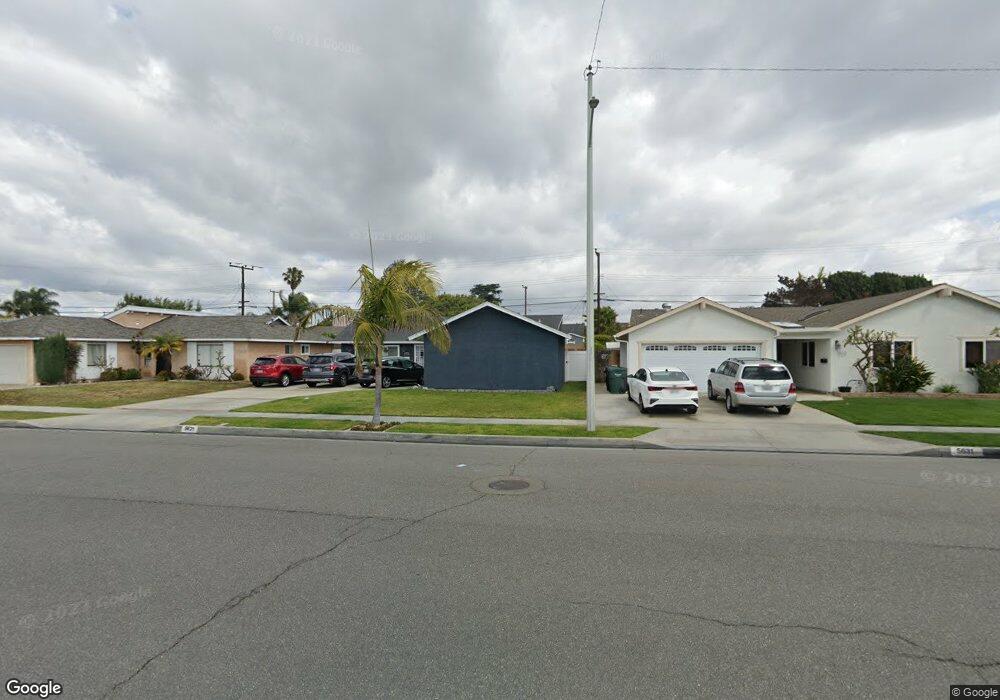
5621 Stardust Dr Huntington Beach, CA 92647
Estimated Value: $964,195 - $1,153,000
3
Beds
2
Baths
1,203
Sq Ft
$907/Sq Ft
Est. Value
About This Home
This home is located at 5621 Stardust Dr, Huntington Beach, CA 92647 and is currently estimated at $1,091,549, approximately $907 per square foot. 5621 Stardust Dr is a home located in Orange County with nearby schools including Schroeder Elementary School, Helen Stacey Intermediate School, and Marina High School.
Ownership History
Date
Name
Owned For
Owner Type
Purchase Details
Closed on
May 12, 2021
Sold by
Worrell Scott P and Worrell Pamela M
Bought by
Worrell Scott P and Worrell Pamela M
Current Estimated Value
Purchase Details
Closed on
Nov 12, 2002
Sold by
Griffiths Gen L and Griffiths Kenneth E
Bought by
Wombold Scott A and Wombold Connie M
Purchase Details
Closed on
Apr 15, 1994
Sold by
Randall Curtis Alan and Randall Deborah Sue
Bought by
Worrell Scott P and Worrell Pamela N
Home Financials for this Owner
Home Financials are based on the most recent Mortgage that was taken out on this home.
Original Mortgage
$180,000
Interest Rate
4.87%
Create a Home Valuation Report for This Property
The Home Valuation Report is an in-depth analysis detailing your home's value as well as a comparison with similar homes in the area
Home Values in the Area
Average Home Value in this Area
Purchase History
| Date | Buyer | Sale Price | Title Company |
|---|---|---|---|
| Worrell Scott P | -- | None Available | |
| Wombold Scott A | $415,000 | Southland Title Corporation | |
| Worrell Scott P | $200,000 | Commonwealth Land Title |
Source: Public Records
Mortgage History
| Date | Status | Borrower | Loan Amount |
|---|---|---|---|
| Previous Owner | Worrell Scott P | $180,000 |
Source: Public Records
Tax History Compared to Growth
Tax History
| Year | Tax Paid | Tax Assessment Tax Assessment Total Assessment is a certain percentage of the fair market value that is determined by local assessors to be the total taxable value of land and additions on the property. | Land | Improvement |
|---|---|---|---|---|
| 2025 | $4,067 | $339,921 | $245,435 | $94,486 |
| 2024 | $4,067 | $333,256 | $240,622 | $92,634 |
| 2023 | $3,928 | $326,722 | $235,904 | $90,818 |
| 2022 | $3,866 | $320,316 | $231,278 | $89,038 |
| 2021 | $3,783 | $314,036 | $226,743 | $87,293 |
| 2020 | $3,736 | $310,816 | $224,418 | $86,398 |
| 2019 | $3,693 | $304,722 | $220,018 | $84,704 |
| 2018 | $3,689 | $298,748 | $215,704 | $83,044 |
| 2017 | $3,548 | $292,891 | $211,475 | $81,416 |
| 2016 | $3,435 | $287,149 | $207,329 | $79,820 |
| 2015 | $3,374 | $282,836 | $204,214 | $78,622 |
| 2014 | $3,295 | $277,296 | $200,214 | $77,082 |
Source: Public Records
Map
Nearby Homes
- 5792 Gloucester Cir
- 5781 Westmoreland Cir
- 14121 Uxbridge St
- 5932 Chinook Dr
- 13966 Chelmsford Walk
- 5102 Piccadilly Cir
- 14422 Birmingham Dr
- 13722 Hammon Place
- 5042 Hampton Ct
- 6101 Jade Cir
- 5781 Vallecito Dr
- 14621 Chalet Ln
- 13671 Springdale St
- 6022 Larchwood Dr
- 13582 Springdale St
- 14862 Sabre Ln
- 13562 Springdale St
- 14281 Edwards St
- 13688 Eastbridge St
- 13371 Springdale St
- 5631 Stardust Dr
- 5611 Stardust Dr
- 5622 Harold Place
- 5632 Harold Place
- 5612 Harold Place
- 5641 Stardust Dr
- 5601 Stardust Dr
- 5642 Harold Place
- 5602 Harold Place
- 14301 Riviera Dr
- 14302 Riviera Dr
- 5651 Stardust Dr
- 5591 Stardust Dr
- 5652 Harold Place
- 5592 Harold Place
- 14302 Nevada Dr
- 14311 Riviera Dr
- 14312 Riviera Dr
- 5661 Stardust Dr
- 5581 Stardust Dr