J
Seller's Agent in 2026
Julia Sheehan
Better Homes & Gardens Real Estate/The Masiello Group
(207) 266-0901
1 in this area
19 Total Sales
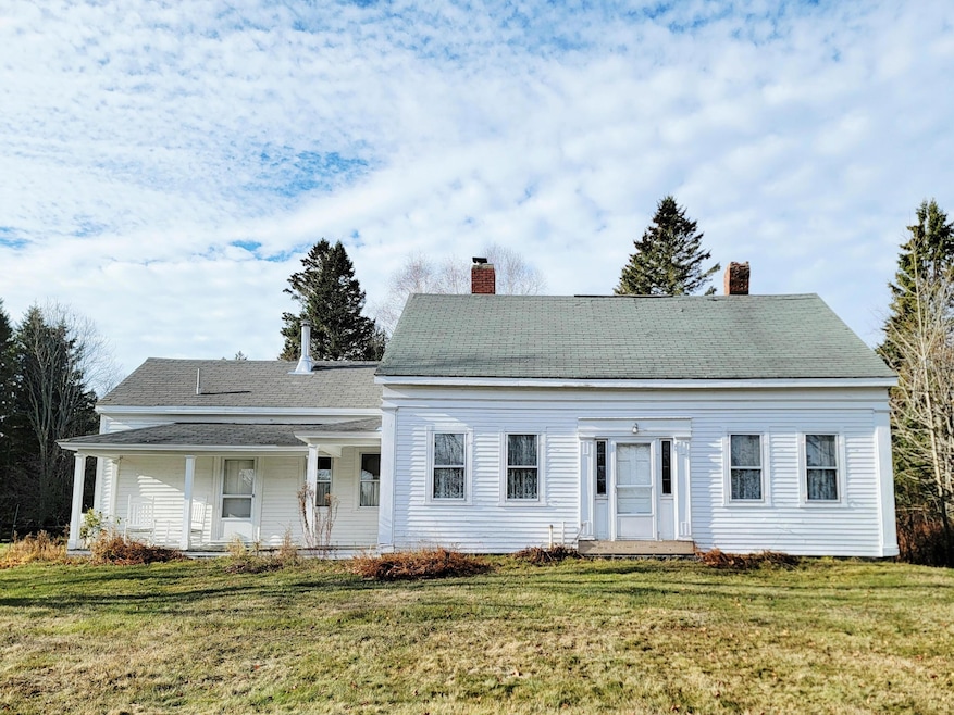
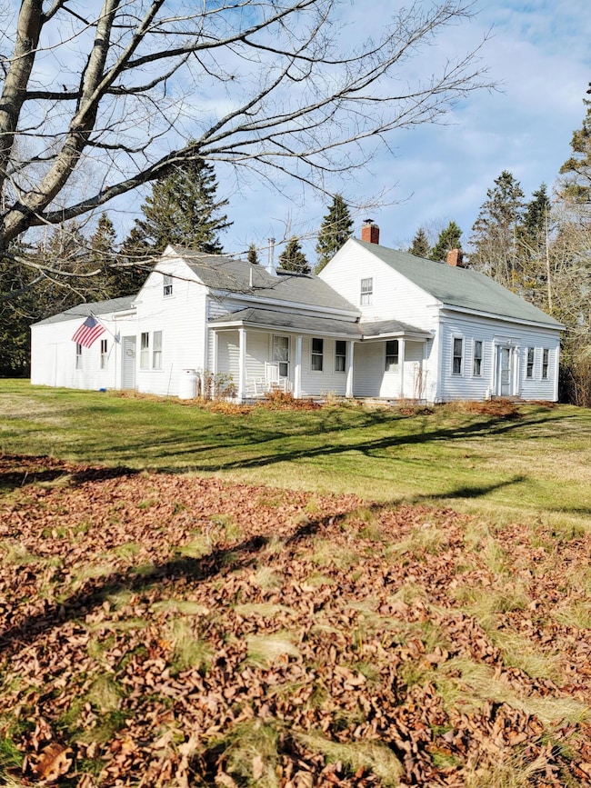
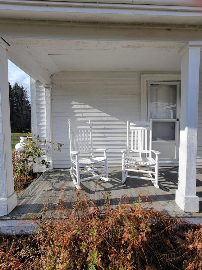
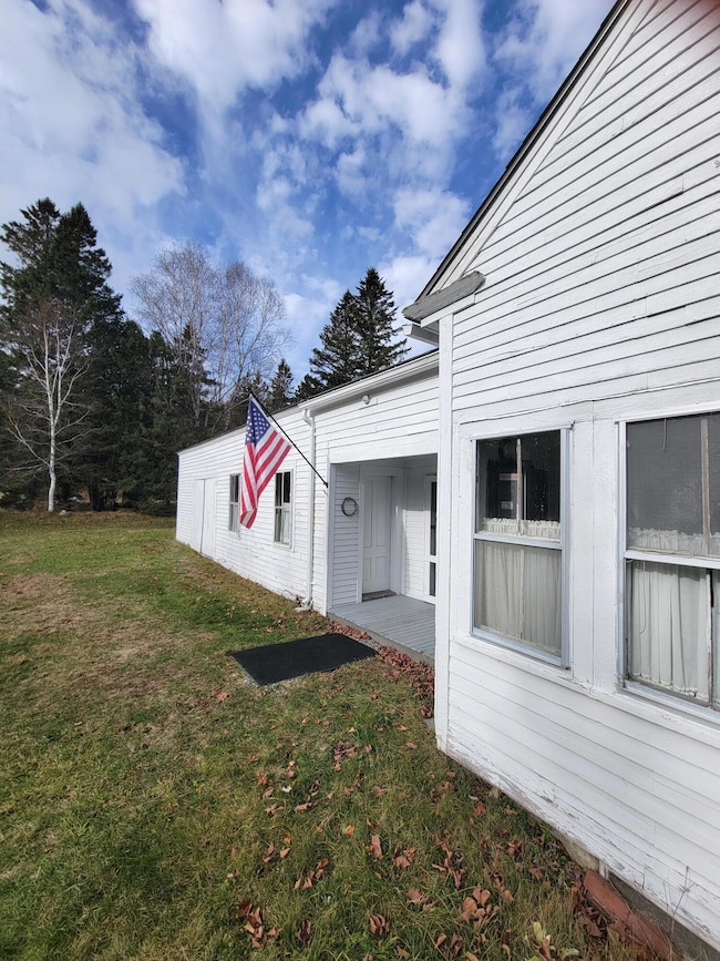
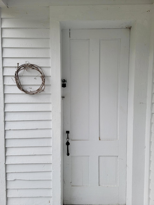
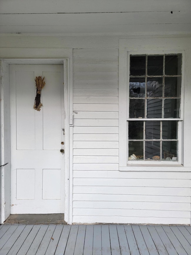
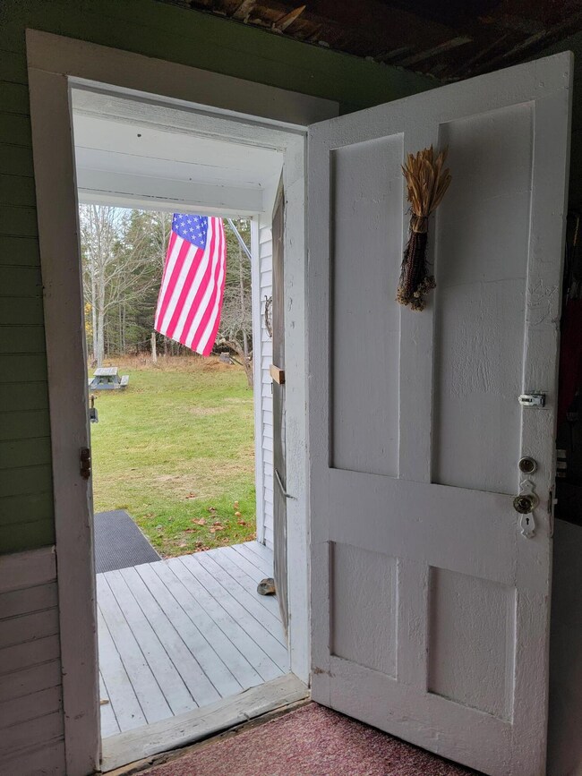
Welcome to 563 Eastside Road, located on desirable Hancock Point. This charming cape was built in 1860. It has been lovingly cared for with most of its original character intact. There are mature apple trees, delightful grapes, and soaring conifers. This beautiful home is waiting for your vision and TLC. Just moments from the beach, tennis courts, and the dock. 563 Eastside is just over 40 minutes to Bar Harbor & Acadia National Park. It is also just over 30 minutes to Schoodic Peninsula Acadia National Park in Winter Harbor. Come make this gem yours.
Last Agent to Sell the Property
Better Homes & Gardens Real Estate/The Masiello Group Listed on: 11/23/2025

| Date | Type | Sale Price | Title Company |
|---|---|---|---|
| Warranty Deed | -- | -- | |
| Warranty Deed | -- | None Available | |
| Quit Claim Deed | -- | -- | |
| Warranty Deed | -- | -- |
| Date | Status | Loan Amount | Loan Type |
|---|---|---|---|
| Previous Owner | $70,000 | Unknown | |
| Previous Owner | $200,000 | Unknown |
| Date | Event | Price | List to Sale | Price per Sq Ft |
|---|---|---|---|---|
| 03/04/2026 03/04/26 | Sold | $254,900 | -7.3% | $170 / Sq Ft |
| 11/24/2025 11/24/25 | Pending | -- | -- | -- |
| 11/23/2025 11/23/25 | For Sale | $274,900 | -- | $183 / Sq Ft |
| Year | Tax Paid | Tax Assessment Tax Assessment Total Assessment is a certain percentage of the fair market value that is determined by local assessors to be the total taxable value of land and additions on the property. | Land | Improvement |
|---|---|---|---|---|
| 2024 | $902 | $76,800 | $32,900 | $43,900 |
| 2023 | $806 | $76,800 | $32,900 | $43,900 |
| 2022 | $806 | $76,800 | $32,900 | $43,900 |
| 2021 | $845 | $76,800 | $32,900 | $43,900 |
| 2019 | $816 | $76,300 | $32,900 | $43,400 |
| 2018 | $839 | $76,300 | $32,900 | $43,400 |
| 2017 | $9,582 | $76,300 | $32,900 | $43,400 |
| 2016 | $12,703 | $76,300 | $32,900 | $43,400 |
| 2015 | $790 | $76,300 | $32,900 | $43,400 |
| 2014 | $763 | $76,300 | $32,900 | $43,400 |
| 2013 | $804 | $80,800 | $32,900 | $47,900 |
J
Seller's Agent in 2026
Julia Sheehan
Better Homes & Gardens Real Estate/The Masiello Group
(207) 266-0901
1 in this area
19 Total Sales
L
Seller Co-Listing Agent in 2026
Lucinda Sargent
Better Homes & Gardens Real Estate/The Masiello Group
(706) 326-2863
2 in this area
63 Total Sales
Buyer's Agent in 2026
Tacy Ridlon
Better Homes & Gardens Real Estate/The Masiello Group
(207) 422-9562
20 in this area
85 Total Sales
Source: Maine Listings
MLS Number: 1644198
APN: HANK-000111-000000-000004
Disclaimer: Certain information contained herein is derived from information provided by parties other than Homes.com. All information provided is deemed reliable, but is not guaranteed to be accurate and should be independently verified.
![]() Listing data is derived in whole or in part from Maine Real Estate Information System, Inc. (d/b/a Maine Listings) and is for consumers' personal, noncommercial use only. Dimensions are approximate and not guaranteed. All data should be independently verified.
Listing data is derived in whole or in part from Maine Real Estate Information System, Inc. (d/b/a Maine Listings) and is for consumers' personal, noncommercial use only. Dimensions are approximate and not guaranteed. All data should be independently verified.
© 2026 Maine Real Estate Information System, Inc. All Rights Reserved. Equal Housing Opportunity.
Homes.com, LLC, 17600 Laguna Canyon Rd Irvine, CA 92618 (888)-952-6393
![]()
Ask me questions while you tour the home.