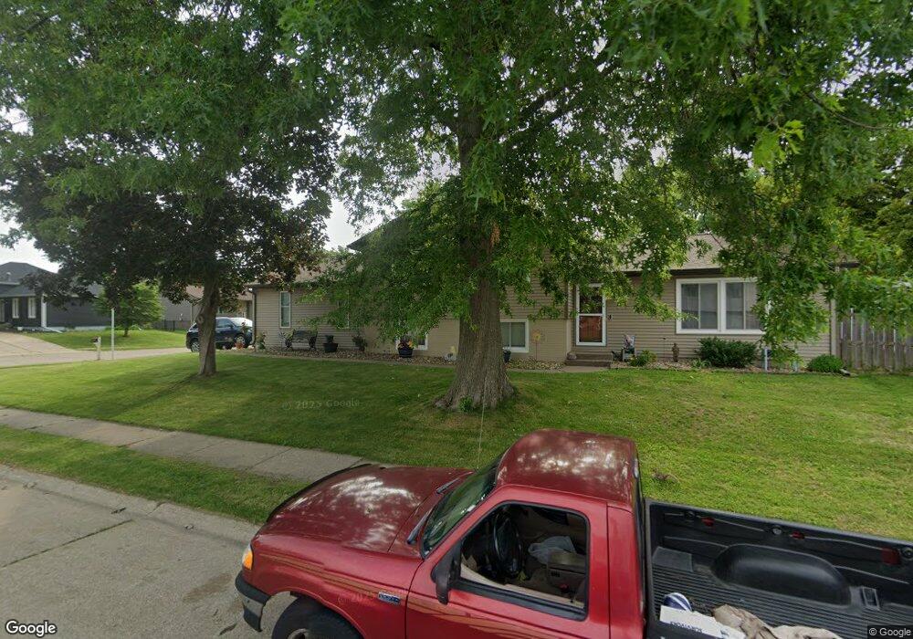
5639 Appomattox Rd Davenport, IA 52806
North Side NeighborhoodEstimated Value: $267,000 - $291,000
4
Beds
3
Baths
1,248
Sq Ft
$225/Sq Ft
Est. Value
About This Home
This home is located at 5639 Appomattox Rd, Davenport, IA 52806 and is currently estimated at $281,180, approximately $225 per square foot. 5639 Appomattox Rd is a home located in Scott County with nearby schools including Cumberland Hall School, Harrison Elementary School, and Academy Of Continuing Education.
Create a Home Valuation Report for This Property
The Home Valuation Report is an in-depth analysis detailing your home's value as well as a comparison with similar homes in the area
Home Values in the Area
Average Home Value in this Area
Tax History Compared to Growth
Tax History
| Year | Tax Paid | Tax Assessment Tax Assessment Total Assessment is a certain percentage of the fair market value that is determined by local assessors to be the total taxable value of land and additions on the property. | Land | Improvement |
|---|---|---|---|---|
| 2025 | $3,832 | $262,640 | $52,400 | $210,240 |
| 2024 | $3,732 | $233,080 | $52,400 | $180,680 |
| 2023 | $4,056 | $233,080 | $52,400 | $180,680 |
| 2022 | $4,047 | $202,110 | $44,020 | $158,090 |
| 2021 | $3,894 | $193,860 | $44,020 | $149,840 |
| 2020 | $3,768 | $193,860 | $44,020 | $149,840 |
| 2019 | $3,746 | $178,740 | $44,020 | $134,720 |
| 2018 | $3,260 | $178,740 | $44,020 | $134,720 |
| 2017 | $3,935 | $160,460 | $44,020 | $116,440 |
| 2016 | $3,851 | $160,460 | $0 | $0 |
| 2015 | $3,324 | $153,510 | $0 | $0 |
| 2014 | $3,216 | $153,510 | $0 | $0 |
| 2013 | $3,156 | $0 | $0 | $0 |
| 2012 | -- | $159,290 | $41,690 | $117,600 |
Source: Public Records
Map
Nearby Homes
- 1005 W 58th St
- 1033 W 58th St
- 5804 Lillie Ave
- 6015 Vine St
- 5721 Taylor St
- 5735 Taylor St
- 6112 Western Ave
- 6205 N Ripley St
- 4942 Brown St
- 655 W 64th St
- Lot 26 Benjamin Ct
- 665 W 64th St
- 671 W 64th St
- 1415 W 59th St
- 825 Northbrook Dr
- 6308 Appomattox Rd
- 1301 W 62nd Ct
- 6322 Appomattox Rd
- LOT 54 Franklin Ave
- Lot 56 Franklin Ave
- 828 N Meadows Ct
- 822 N Meadows Ct
- 5705 Appomattox Rd
- 5638 Appomattox Rd
- 827 W 57th St
- 5644 Appomattox Rd
- 836 W 57th St
- 5628 Appomattox Rd
- 818 N Meadows Ct
- 5702 Appomattox Rd
- 660 W 56th St
- 830 W 57th St
- 5622 Appomattox Rd
- 819 W 57th St
- 5710 Appomattox Rd
- 824 W 57th St
- 5717 Appomattox Rd
- 812 N Meadows Ct
- 835 W 58th St
- 5709 Vine St