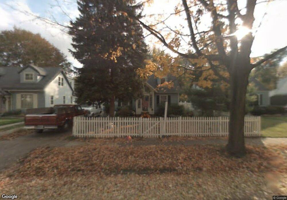
564 Brookland Blvd Lansing, MI 48910
Old Everett NeighborhoodEstimated Value: $129,565 - $161,000
Studio
--
Bath
815
Sq Ft
$183/Sq Ft
Est. Value
About This Home
This home is located at 564 Brookland Blvd, Lansing, MI 48910 and is currently estimated at $149,141, approximately $182 per square foot. 564 Brookland Blvd is a home located in Ingham County with nearby schools including Lyons Elementary School, Attwood School, and Everett High School.
Ownership History
Date
Name
Owned For
Owner Type
Purchase Details
Closed on
May 29, 2025
Sold by
S & S Acquisitions Group Llc
Bought by
Orr Horace J
Current Estimated Value
Purchase Details
Closed on
May 9, 2025
Sold by
Ross-Stanton Suzanne L and Ross Neil George
Bought by
S & S Acquisitions Group Llc
Purchase Details
Closed on
Jan 9, 2025
Sold by
Ingham County
Bought by
Darin Elliott Properties Llc
Create a Home Valuation Report for This Property
The Home Valuation Report is an in-depth analysis detailing your home's value as well as a comparison with similar homes in the area
Home Values in the Area
Average Home Value in this Area
Purchase History
| Date | Buyer | Sale Price | Title Company |
|---|---|---|---|
| Orr Horace J | -- | None Listed On Document | |
| S & S Acquisitions Group Llc | -- | None Listed On Document | |
| Darin Elliott Properties Llc | $20,501 | None Listed On Document |
Source: Public Records
Tax History
| Year | Tax Paid | Tax Assessment Tax Assessment Total Assessment is a certain percentage of the fair market value that is determined by local assessors to be the total taxable value of land and additions on the property. | Land | Improvement |
|---|---|---|---|---|
| 2025 | $2,732 | $67,900 | $9,700 | $58,200 |
| 2024 | $22 | $61,900 | $9,700 | $52,200 |
| 2023 | $2,562 | $56,900 | $9,700 | $47,200 |
| 2022 | $2,311 | $50,900 | $9,300 | $41,600 |
| 2021 | $2,263 | $46,800 | $4,200 | $42,600 |
| 2020 | $2,249 | $44,500 | $4,200 | $40,300 |
| 2019 | $2,155 | $40,100 | $4,200 | $35,900 |
| 2018 | $2,020 | $36,100 | $4,200 | $31,900 |
| 2017 | $1,934 | $36,100 | $4,200 | $31,900 |
| 2016 | $1,850 | $34,800 | $4,200 | $30,600 |
| 2015 | $1,850 | $33,300 | $8,407 | $24,893 |
| 2014 | $1,850 | $32,600 | $8,407 | $24,193 |
Source: Public Records
Map
Nearby Homes
- 3310 Ellen Ave
- 560 Paris Ave
- 413 E Hodge Ave
- 320 E Hodge Ave
- 3319 Jewell Ave
- 3603 Parkway Dr
- 3209 Stabler St
- 114 W Berry Ave
- 2600 Maplewood Ave
- 215 Dunlap St
- 218 Dunlap St
- 3907 Glenwood Ave
- 555 Tisdale Ave
- 601 Jessop Ave
- 709 Jessop Ave
- 810 Fenton St
- 817 Jessop Ave
- 334 Dunlap St
- 416 W Holmes Rd
- 600 E Cavanaugh Rd
- 560 Brookland Blvd
- 570 Brookland Blvd
- 574 Brookland Blvd
- 556 Brookland Blvd
- 549 S Dexter Dr
- 555 S Dexter Dr
- 545 S Dexter Dr
- 600 Brookland Blvd
- 557 S Dexter Dr
- 541 S Dexter Dr
- 565 Brookland Blvd
- 604 Brookland Blvd
- 561 S Dexter Dr
- 571 Brookland Blvd
- 561 Brookland Blvd
- 531 S Dexter Dr
- 555 Brookland Blvd
- 527 S Dexter Dr
- 567 S Dexter Dr
Your Personal Tour Guide
Ask me questions while you tour the home.